
Viking
Manage and plot GPS data
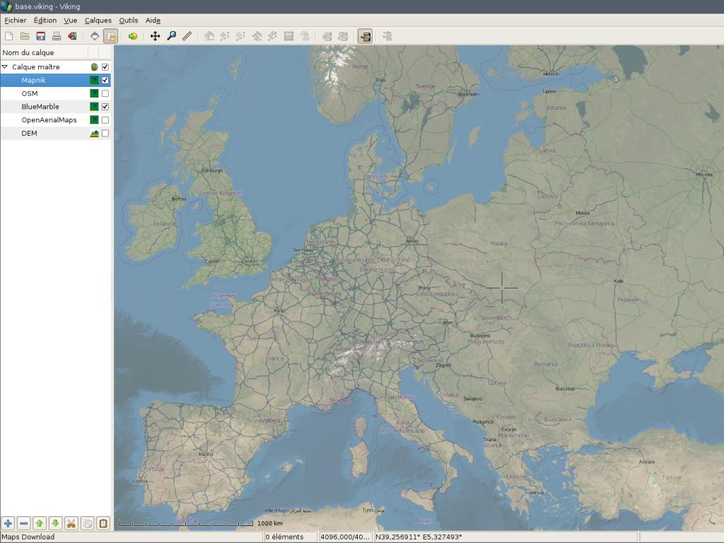
Viking is a GPS data editor, analyzer and viewer. Viking aims to be easy to use, yet powerful in accomplishing a wide variety of GPS related tasks. It uses a hierarchical layering system to organize GPS data, maps, and other layer types with spatial data, such as coordinate lines. It works with OpenStreetMap data and various online tile servers.
Core Features
- Upload and download waypoints, tracks to and from your GPS.
- Realtime GPS tracking and track recording.
- Prepare tracks and waypoints for trips using maps from services such as OpenStreetMap and Bing Aerial. You only need to upload the data to your GPS before you leave. The maps together with your tracks and waypoints can also be printed and used during the trip.
- After trips, tracks and waypoints from GPS can be downloaded, stored, managed and reused in later trips.
- Analyze OHV and hiking trips, understand where you went and how close you came to an object.
- Create waypoints and track lines to follow to easily get someplace you’ve never been before or don’t have GPS data for, but for which Terraserver maps exist.
- Create maps with coordinate lines.
- Analyze speed at different places, add waypoints where you forgot to mark one but did slow down or stop.
Details
Website: http://sourceforge.net/apps/mediawiki/viking/
Licence: GNU General Public License (GPL) version 2
Software Version: 1.6.0
Supported Platforms: GNU/Linux, MS Windows
API Interfaces: C, GTK+ 2
Support: http://sourceforge.net/apps/mediawiki/viking/index.php?title=Main_Page#Help