

MapFish
Web Mapping Framework
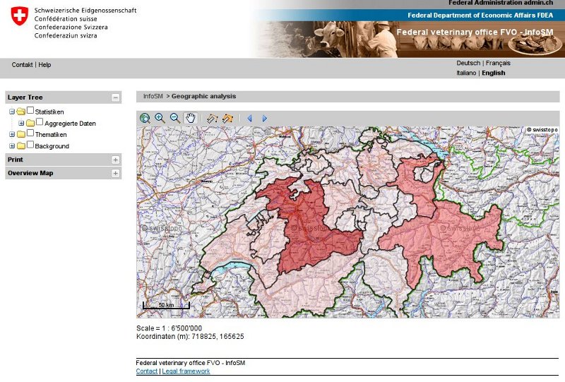
MapFish is a flexible and complete framework for building rich web-mapping applications. It emphasizes high productivity, and high-quality development.
MapFish is based on the Pylons Python web framework. MapFish extends Pylons with geospatial-specific functionality. For example MapFish provides specific tools for creating web services that allows querying and editing geographic objects.
MapFish also provides a complete RIA-oriented JavaScript toolbox, a JavaScript testing environment, and tools for compressing JavaScript code. The JavaScript toolbox is composed of the ExtJS, OpenLayers , GeoExt JavaScript toolkits.
Zaimplementowane standardy
MapFish jest zgodny ze standardami Open Geospatial Consortium. Jest to możliwe gdyż OpenLayers i GeoExt obsługują wiele norm OGC, takich jak WMS, WFS, WMC, KML, GML etc.
Szczegóły
Strona internetowa: http://www.mapfish.org
Licencja: BSD
Wersja programu: 2.2
Systemy operacyjne: Windows, Linux, Mac