SpatiaLite
Przestrzenna baza danych
SpatiaLite jest bazą danych SQLite z dodanymi funkcjami przestrzennymi.
SQLite jest popularnym DBMS, prostym, solidnym, łatwym w użyciu i na prawdę lekkim. Każda baza danych SQLite jest po prostu plikiem; można go dowolnie kopiować, kompresować, przesyłać przez LAN lub WEB bez żadnych komplikacji.
Pliki można również przenosić między systemami operacyjnymi; ta sama baza danych będzie działać na Windows, Linux, MacOs etc.

Główne funkcje
The SpatiaLite extension enables SQLite to support spatial data conformant to OGC specifications.
- Supports standard WKT and WKB formats
- Implements SQL spatial functions such as AsText(), GeomFromText(), Area(), PointN() and alike
- The complete set of OpenGis functions is supported via GEOS, this comprehending sophisticated spatial analysis functions such as Overlaps(), Touches(), Union(), Buffer() ..
- Supports full Spatial metadata along the OpenGis specifications
- Supports importing and exporting to shapefiles
- Supports coordinate reprojection via PROJ.4 and EPSG geodetic parameters dataset
- Supports locale charsets via GNU libiconv
- Implements a true Spatial Index based on the SQLite’s RTree extension
- The VirtualShape extension enables SQLite to access shapefiles as VIRTUAL TABLEs
- You can then perform standard SQL queries on external shapefiles, with no need for importing or converting them
- The VirtualText extension enables SQLite to access CSV/TxtTab files as VIRTUAL TABLEs
- You can then perform standard SQL queries on external CSV/TxtTab files or Excel tables, with no need for importing or converting them
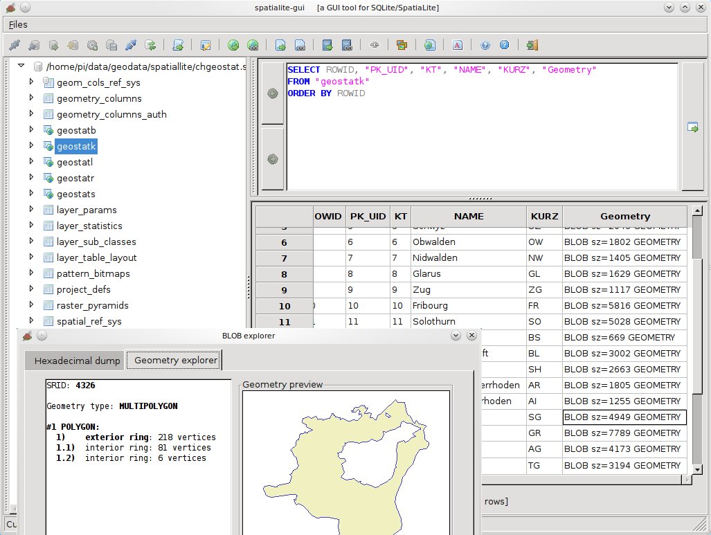
- The GUI tool supports all this, in an user friendly way
Szczegóły
Strona internetowa: http://www.gaia-gis.it/gaia-sins/
Licencja: MPL v1.1 i Powszechna Licencja Publiczna GNU (GPL) wersja 3
Wersja programu: spatialite 3.0.0 / librasterlite 1.0 / spatialite-gui 1.3.0 / spatialite-gis 1.0.0
Systemy operacyjne: Linux, Mac, Windows
Interfejsy API: C++
