
TinyOWS
Web Feature Service
TinyOWS is a high performance, Transakcyjnym Web Feature Service (WFS-T) which is light weight and easy to deploy, using a CGI or FastCGI interface and using PostGIS for data storage.

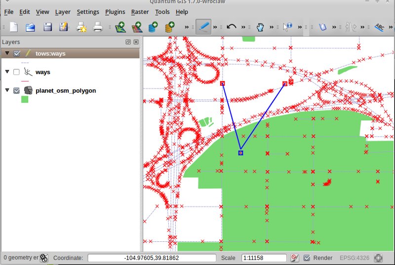
TinyOWS is commonly used in conjunction with MapServer to provide WFS-T and fast WFS services for QGIS and/or OpenLayers clients. It is used in production in organisations around the world, including risk adverse government agencies. TinyOWS strictly implements the WFS 1.0 and 1.1 standards, and has passed all OGC CITE units tests (~ 1000 unit tests).
Główne funkcje
- Transakcyjny Web Feature Service (WFS-T)
- Interfejs CGI i FastCGI
- Połączenie z bazą PostGIS
- Wyjście GML 2.1.2, 3.1.1 i GeoJson 1.0
- Configured using MapServer’s configuration file, allowing a single configuration file for both applications.
Zaimplementowane standardy
- WFS 1.0 i WFS 1.1: o profilach Basic i Transactionnal
- FE 1.0.0 i FE 1.1.0
- GML 2.1.2 i 3.1.1 Simple Profile (SF-0)
Szczegóły
Strona internetowa: http://mapserver.org/trunk/tinyows/
Licencja: MIT
Wersja programu: 1.0.0
Systemy operacyjne: Linux, Unix, Mac, Windows
Interfejsy API: CGI/FastCGI
Wsparcie: http://lists.osgeo.org/mailman/listinfo/mapserver-users
