
User-friendly Desktop Internet GIS (uDig)
Desktop GIS
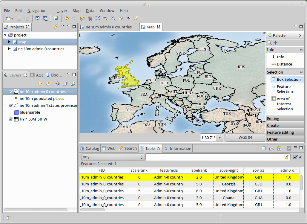
Przyjazny Użytkownikowi Desktopowy Internetowy GIS (uDig) jest przeglądarką i edytorem “open source” danych przestrzennych, ze szczególnym naciskiem na standardy OpenGIS dla GIS-u internetowego: Web Map Server (WMS) i Web Feature Server (WFS).
uDig jest:
- Przyjazny dla użytkownika, dostarczając intuicyjnego środowiska graficznego użytkownikom GIS;
- Zlokalizowany desktopowo, pracując natywnie na Windows, Mac OS/X i Linux;
- Zorientowany internetowo, konsumując usługi sieciowe oparte na standardach i de facto-; oraz,
- Gotowy do GIS-u, dostarczając frameworku, na którym mogą byc budowane kompleksowe analityczne możliwości, oraz stopniowo przenoszone do głównej aplikacji.
Dla programistów uDig dostarcza popularnej platformy Java do budowania aplikacji przestrzennych z komponentów open source. Strona internetowa zawiera serie przejrzystych tutoriali opisujących tworzenie prostego narzędzia aż do wydania własnej applikacji.
Główne funkcje
- Desktop Client with Drag and Drop integration for File explorer and Web Browser
- Integrate with your existing infrastructure: ArcSDE, Oracle, DB2 and more
- Work with local files: Shapefile, jpeg, png, tiff and more.
- Work with advanced spatial raster formats: ECW, MrSID, JPEG 2000
- Support for compliant Web Map Servers (GeoServer, MapServer tested)
- Integrated Web experience with an embedded browser that recognises OGC web services and smoothly adds links to the onscreen map
- Style Layer Descriptor control of rendering allowing you to publish your Map using the same settings in uDig as with popular Web Map Servers
- Deep integration of standards allowing the application to swap between the appropriate service as required for display, interaction and editing
- Printing and PDF Generation
- For Developers
- Java Application built using the GeoTools, JTS Topology Suite (JTS)
- Industrial strength plug-in system provided by Eclipse Rich Client Platform
- Use of native widgets
Zaimplementowane standardy
- OGC Web Map Server (WMS)
- OGC Web Feature Server (WFS)
- OGC Web Feature Server Transactional (WFS-T)
- OGC Simple Features for SQL (SFQL)
- Web Map Server Cache (WMS-C)
- OGC Style Layer Descriptor (SLD)
Szczegóły
Strona internetowa: http://udig.refractions.net/
Licencja: Mniejsza Powszechna Licencja Publiczna GNU (LGPL) wersja 2
Wersja programu: 1.4.0b
Systemy operacyjne: Windows, Linux, Mac
Interfejsy API: GeoTools, ImageIO-Ext, Java Advanced Imaging, Eclipse Rich Client Platform, Eclipse Modelling Framework
Wsparcie: http://udig.refractions.net/users/
Programiści: http://udig.refractions.net/developers/
Wprowadzenie
- Przejdź do wprowadzenia <../quickstart/udig_quickstart>