

MapFish
Web Mapping Framework
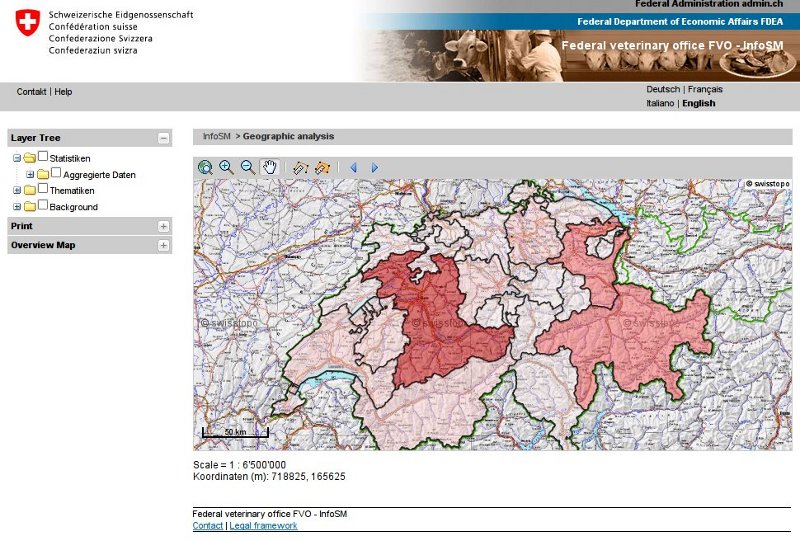
MapFish is a flexible and complete framework for building rich web-mapping applications. It emphasizes high productivity, and high-quality development.
MapFish is based on the Pylons Python web framework. MapFish extends Pylons with geospatial-specific functionality. For example MapFish provides specific tools for creating web services that allows querying and editing geographic objects.
MapFish also provides a complete RIA-oriented JavaScript toolbox, a JavaScript testing environment, and tools for compressing JavaScript code. The JavaScript toolbox is composed of the ExtJS, OpenLayers , GeoExt JavaScript toolkits.
Implemented Standards
MapFish is compliant with the Open Geospatial Consortium standards. This is achieved through OpenLayers or GeoExt supporting several OGC norms, like WMS, WFS, WMC, KML, GML etc.
Details
Website: http://www.mapfish.org
Licence: BSD License
Software Version: 2.2
Supported Platforms: Windows, Linux, Mac