
SpatiaLite
Spatial Database
SpatiaLite is an SQLite database engine with spatial functions added.
SQLite is a Database Management System (DBMS) which is simple, robust, easy to use and very lightweight. Each SQLite database is simply a file. You can freely copy it, compress it, and port it between Windows, Linux, MacOs etc.
Core Features
The SpatiaLite extension enables SQLite to support spatial data conformant to OGC specifications.
Highlights:
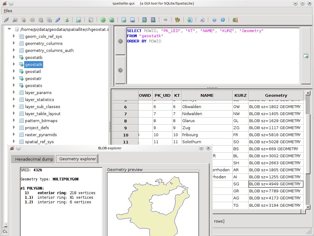
- User friendly GUI
- Standard WKT and WKB formats
- SQL spatial functions such as AsText(), GeomFromText(), Area(), PointN() ...
- OpenGis spatial analysis functions provided via GEOS, such as Overlaps(), Touches(), Union(), Buffer() ...
- Full Spatial metadata in line with OpenGis specifications
- Numerous Geometry notations - EWKT, GML, KML, and GeoJSON
- Importing and exporting to shapefiles
- Coordinate reprojection via PROJ.4 and EPSG geodetic parameters dataset
- Locale charsets via GNU libiconv
- Spatial Index based on the SQLite’s RTree extension
- Access shapefiles as VIRTUAL TABLEs, enabling standard SQL queries on external shapefiles, without importing or converting them
- Access external CSV/TxtTab files or xls spreadsheets as VIRTUAL TABLEs
- Access XML documents, stored BLOB compressed binary objects, including syntactic “well formed” and XSF schema validation constrained checks. Specific support for ISO-Metadata, SLD/SE styles and SVG graphics.XML documents can be queried using standard XPath syntax.
- Query external WFS servers.
- Parse external DXF files (all versions) and store layers and geometries found.
- Generate and Export DXF files
Details
Website: http://www.gaia-gis.it/gaia-sins/
Licence: MPL v1.1 and GPL v3
Software Version: 4.3.0a
Supported Platforms: Linux, Mac, Windows
API Interfaces: C