
Cartaro
Geoprzestrzenny CMS
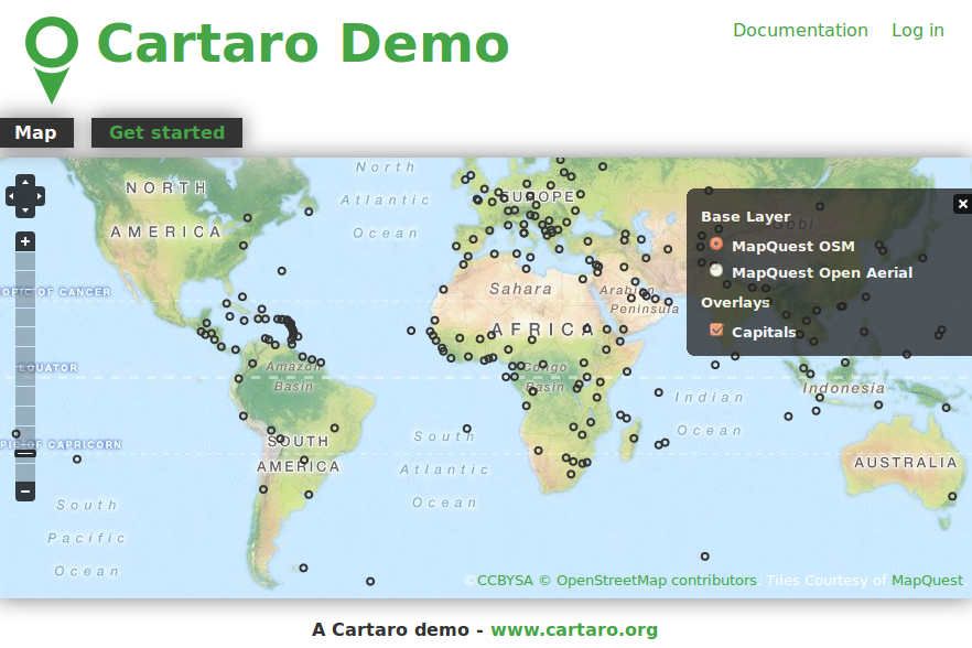
Cartaro dostarcza geoprzestrzennej funkcjonalności i usług sieciowych poprzez System Zarządzania Treścią (CMS) Drupal. Za pomocą kilku kliknięć w Cartaro, jesteś w stanie stworzyć i uruchomić usługi sieciowe w standardach OGC oraz stworzyć mapy na stronach internetowych. Cartaro jest zbudowane na komponentach Open Source: bazie danych PostGIS, usługach GeoWebCache GeoServer, mapach w przeglądarce internetowej OpenLayers, wszystko zarządzane za pomocą potężnego systemu zarządzania treścią Drupal CMS.
Cartaro jest zaprojektowane dla stron CMS, które muszą obsługiwać dane przestrzenne, i dla organizacji chcących lekkiej infrastruktury Danych Przestrzennych (SDI) przy minimalnych nakładach na konfigurację i programowanie.
Główne funkcje
Most SDI functionality comes right out of the box through the close integration of Drupal with PostGIS and GeoServer. The main features of Cartaro are:
- Spatial data storage with true geometry data types
- Creation of data types from within the Drupal GUI
- Integrated online editing of geospatial data
- Data publishing with integrated maps
- Configuration of map layouts and behaviors
- Symbol styling
- Data publishing through OGC standards-compliant web services (OWS) like WMS and WFS
- High performance map output through GeoWebCache
- Transparent privilege handling and security for all spatial data
- Content publication workflow and revision moderation
- Basic metadata collection through access to GeoServer-GUI
- Full extensibility through thousands of Drupal modules or individual programming
Zaimplementowane standardy
Szczegóły
Strona internetowa: http://cartaro.org/
Licencja: GNU General Public License (GPL) wersja 2
Wersja programu: 1.2
Systemy operacyjne: Windows, Linux, Mac
Interfejsy API: JavaScript, PHP
Wsparcie: http://www.geops.de