
MB-System
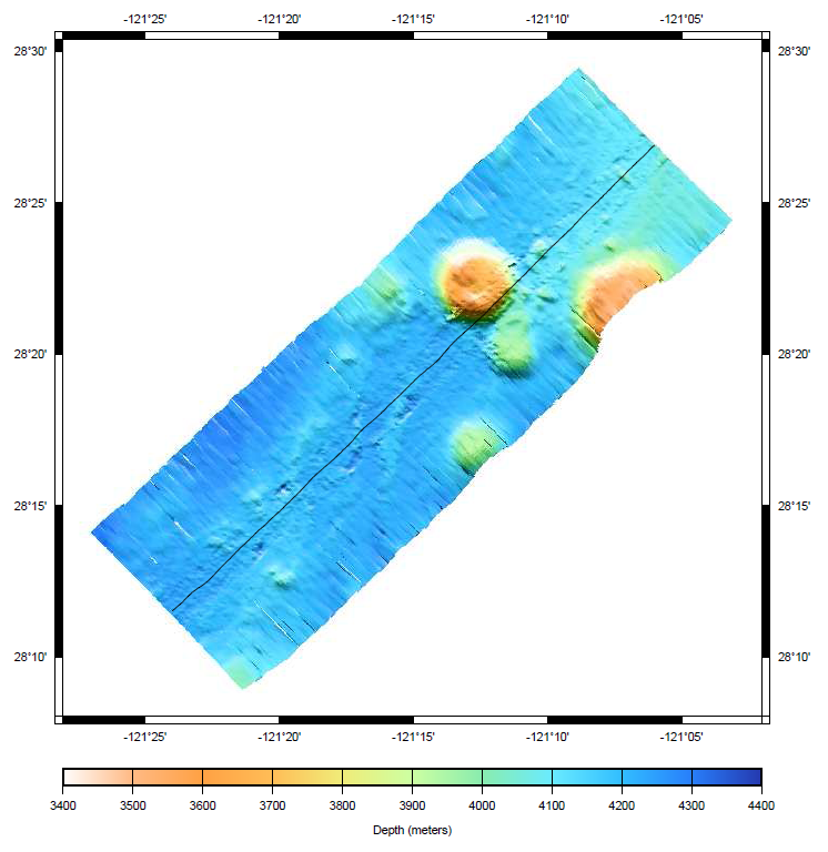
Mapy dna morskiego
MB-System jest pakietem oprogramowania o otwartym kodzie źródłowym do przetwarzania i wizualizacji batymetrii na podstawie danych multibeam, interferometrycznych oraz sonarowych. Wykorzystuje oprogramowanie GMT.
MB-System jest rozwijany od 1993 roku, z aktywnym wsparciem ze strony wielu organizacji badawczych i naukowych.
Główne funkcje
- Read, list, and translate many swath data formats
- Batch processing of large datasets
- Calculate and compensate for sound velocity profile
- Navigation and inertial systems data analysis and editor
- Patch test analysis
- Automatic or interactive bathymetry data cleaning
- Interactive 3D visualization data cleaning tools
- Gridding, statistical analysis, and extraction of cleaned bathymetric product
- Map reprojection
- Sidescan and amplitude data processing and mosaicking
- Grid visualization
- Survey planning
- PostScript graphics
- Exporting data products to GIS and visualization packages
- Subbottom profiler data processing
- Tide modeling and correction
Szczegóły
Strona internetowa: http://www.ldeo.columbia.edu/res/pi/MB-System/
Licencja: Powszechna Licencja Publiczna GNU (GPL) wersja 3
Wersja programu: 5.4.2191
Systemy operacyjne: GNU/Linux, Mac OSX, MS Windows (with Cygwin)
Interfejsy API: Command line