

Geomajas
Browser GIS Client
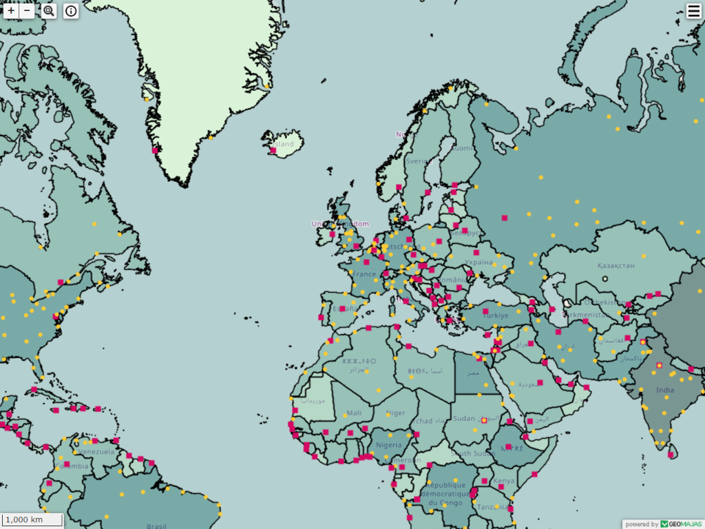
The Client enables developers to create powerful web GIS applications including interactive maps, extensible widgets and custom use cases. It allows access to a wide range of data sources and functionality through a web browser.
Core Features
- Programmable using pure Java through GWT
- Supports many layer types (incl. WMS, WFS, WMTS, TMS, OSM, Google Maps, Shape, PostGIS, Oracle, JDBC, …)
- Handy collection of built-in widgets (incl. Editing and redlining, Print, Geocoding, Layer tree, …)
- Build your own use cases and create new widgets
- Easy skinnable through custom CSS
- No need for browser plug-ins
- Runs on a wide range of internet devices using HTML5
- Not a GWT enthusiast? Access core features through the Javascript API
Enterprise Server features
- Advanced security on different levels (layer, feature, attribute, functionality, …)
- Seamless integration with your own Domain Model – persistence via Hibernate, web services, Java RMI, …
- Enterprise integration with other business applications such as JBPM, Activiti, JasperReports, CMS, Alfresco through industry standards (SOAP, REST, ESB, JNDI, …)
- Easy extensible through the Spring framework
Details
Website: http://www.geomajas.org/
Licence: AGPL
Software Version: NA
Supported Platforms: Windows, Linux, Mac
API Interfaces: Java and Javascript
Support: http://www.osgeo.org/node/725?SET=1&MUL_TECH[]=00089