

GeoNetwork
Metadata Catalog
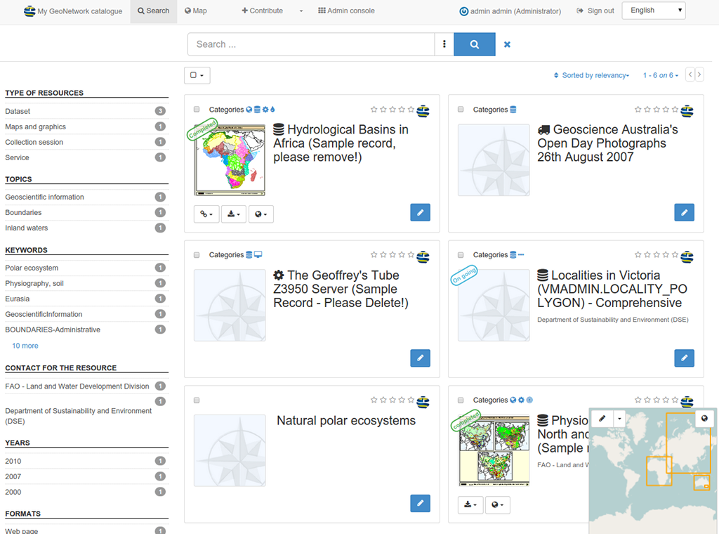
GeoNetwork OpenSource is a catalog application for managing spatially referenced resources. It provides powerful metadata editing and search functions, an embedded interactive web map viewer, and is based upon Open Standards.
Core Features
- Immediate search access to local and distributed geospatial catalogues
- Up and downloading of data, graphics, documents, pdf files and any other content type
- An interactive Web Map Viewer to combine Web Map Services from distributed servers around the world
- Recently updated entries are accessible as RSS news feeds and as GeoRSS.
- Online editing of metadata with a powerful template system
- Native support for ISO19115/ISO19119/ISO19139/ISO19110 and Dublin Core formatted metadata
- Scheduled harvesting and synchronization of metadata between distributed catalogues (GeoNetwork, CSW, OGC WxS GetCapabilities, WebDav, ArcSDE, Thredds, OGC WFS Features, OAI-PMH)
- Fine-grained access control
- Group and user management
- Multi-lingual user interface
Implemented Standards
- OGC Catalogue Service-Web (CSW) 2.0.2 ISO
- Open Archives Initiatives (OAI-PMH)
- OpenSearch-Geo
- OAI-PMH
- Metadata standards:
- ISO19115/ISO19119/ISO19139/ISO19110 and ISO Profiles
- Dublin Core
Details
Website: http://geonetwork-opensource.org
Licence: GNU General Public License (GPL) version 2
Software Version: 3.2.1
Supported Platforms: Windows, Linux, Mac
API Interfaces: Java
Support: http://www.osgeo.org/search_profile