
Quantum GIS (QGIS) is a user friendly Desktop GIS client which lets you visualize, manage, edit, analyse data and compose printable maps.
This Quick Start describes how to:
- update an existing QGIS project
- create a new QGIS project with a simple vector layer
Click Desktop ‣ Desktop GIS ‣ Quantum GIS.
Choose File ‣ Open Project... from the menu bar.
Select QGIS-NaturalEarth-Example.qgs and press Open.
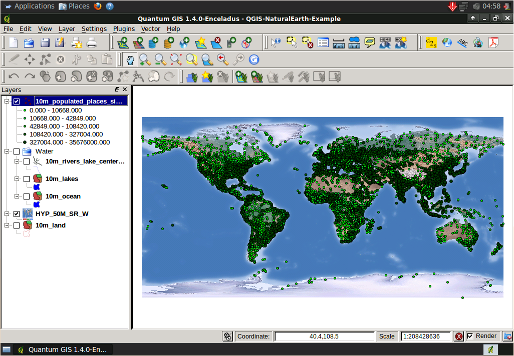
Check 10m_populated_places_simple in the Layers tree
Populated places are now displayed:
Double click 10m_rivers_lake_centerlines in the Layers tree.
Change the color in Outline Options to a different blue tone.
Press OK.
To learn more about QGIS, a starting point is the Documentation page on the QGIS homepage.
OSGeo Live contains a A Gentle Introduction to GIS and the QGIS User Guide.