

Geospatial Data Abstraction Library (GDAL/OGR) provides command-line utilities to translate and process a wide range of raster and vector geospatial data formats.
The utilities are based upon a cross platform, C++ library, accessible via numerous programming languages. As a library, it presents a single abstract data model to the calling application for all supported formats.
GDAL/OGR is the most widely used geospatial data access library. It provides the primary data access engine for many applications including MapServer, GRASS, QGIS, and OpenEV. It is also utilized by packages such as OSSIM, Cadcorp SIS, FME, Google Earth, VTP, Thuban, ILWIS, MapGuide and ArcGIS.
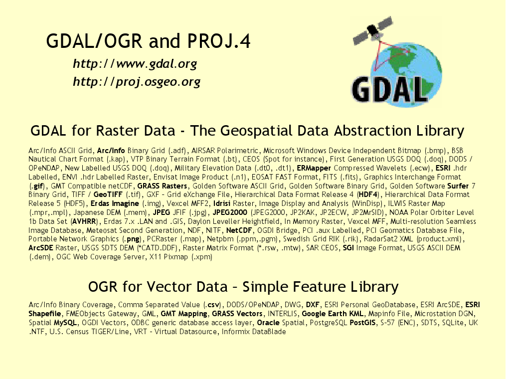
GDAL supports over 50 raster formats, and OGR over 20 vector formats.
These include:
The OGR vector data model is compliant with the OGC Simple Features specification.
Website: http://www.gdal.org
Licence: X/MIT style Open Source license
Software Version: 1.8.0
Supported Platforms: Windows, Linux, Mac
API Interfaces: C, C++, Python, Java, C#, Ruby, VB6 and Perl
Support: http://gdal.osgeo.org/#index_maillist, http://www.osgeo.org/search_profile