
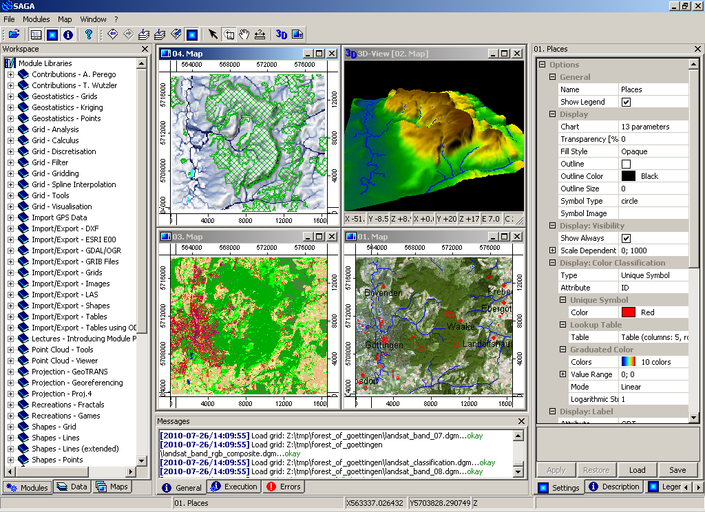
SAGA (System for Automated Geoscientific Analyses) is an open source geographic information system (GIS) used for editing and analysing spatial data. It includes a large number of modules for the analysis of vector (point, line and polygon), table, grid and image data. Among others the package includes modules for geostatistics, image classification, projections, simulation of dynamic processes (hydrology, landscape development) and terrain analysis. The functionality can be accessed through a GUI, the command line or by using the C++ API.
SAGA has been in development since 2001, and the centre of SAGA development is located in the Institute of Geography at the University of Hamburg, with contributions from the growing world wide community.
- Import/Export to different file formats
- Reprojection/Resampling of data
- Manipulation of vector data (merging/intersection/attributes)
- Manipulation of point clouds from lidar data
- Raster data: interpolation, cost analysis, ...
- Image analysis: filters, edge detection, cluster analysis, segmentation
- Digital Terrain Analysis: generate geomorphometric indexes, channel networks, profiles, contour lines, ...
- Geostatistics: modules for variogram fitting and kriging
- 3D visualisation
Website: http://www.saga-gis.org
Licence: LGPL v2.1 (api); GPLv2 (GUI and modules)
Software Version: 2.0.7
Supported Platforms: Windows, Linux, FreeBSD
API Interfaces: C++
Support: http://www.saga-gis.org