
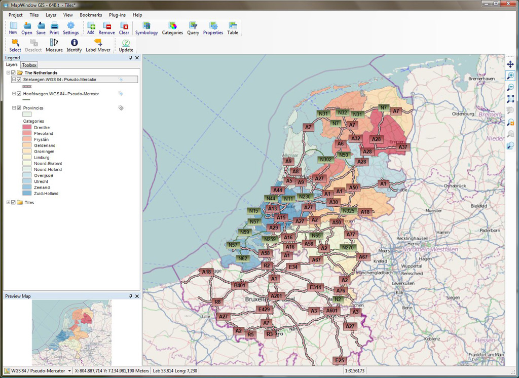
MapWindow GIS is a Windows based, Open Source GIS client where you can visualize, manage, edit, analyse data, and compose printable maps. It includes powerful analytical functions through integration with GEOS and GDAL/OGR. MapWindow is easy to incorporate into MS-Office based products such as MS-Excel and MS-Access, as well as programs written in VB6, C++, C#, VB.NET, and Delphi, as MapWindow is based upon ActiveX controls.
Note
MapWindow requires installation on a Microsoft Windows system before it can be run. Installation files are included on the full ISO version of OSGeo-Live or may be downloaded from http://mapwindow4.codeplex.com/releases.
Friendly graphical user interface:
- identify/select features,
- edit/view/search attributes,
- on the fly projection,
- print layout,
- feature labeling,
- change vector and raster symbology,
- and more ...
Easy Viewing of many Vector and Raster Formats:
- most vector formats: including ESRI shapefiles, MapInfo, SDTS and GML,
- raster formats such as digital elevation models, aerial photography or landsat imagery,
- Tiles services, like OpenStreetMap, ArcGIS Online.
Create, edit and export spatial data using:
- digitizing tools for shapefile format,
- the georeferencer plugin,
- GPS tools to import and export GPX format, convert other GPS formats to GPX, or down/upload directly to a GPS unit.
Perform spatial analysis using plugins:
- map algebra,
- terrain analysis,
- hydrologic modeling (TauDEM),
- network analysis,
- and many others.
Extensible plugin architecture:
- Plug-in architecture makes it easy to add additional functionality to MapWindow. Plug-ins can be written in any .NET language (C#, VB.NET) using Visual Studio Pro or the free SharpDevelop or Visual Studio Express.
ActiveX control:
- Uses an ActiveX control written in C++. This control can be used in custom applications written in languages like VB6, C++, C#, VB.NET, and Delphi, and can be used in MS-Office products like MS-Access and MS-Excel.
Website: http://www.mapwindow.org
Licence: MPLv1.1
Software Version: 4.8.6
Supported Platforms: Windows
API Interfaces: Visual Basic 6, VBA (MS-Access, MS-Excel), C++, .NET (C#, VB.NET)
Community Support: http://www.mapwindow.org/apps/wiki/doku.php?id=forums
Commercial Support: http://www.mapwindow.nl, http://www.mapwindow.in/, http://www.mapwindow.org/pages/donate.php