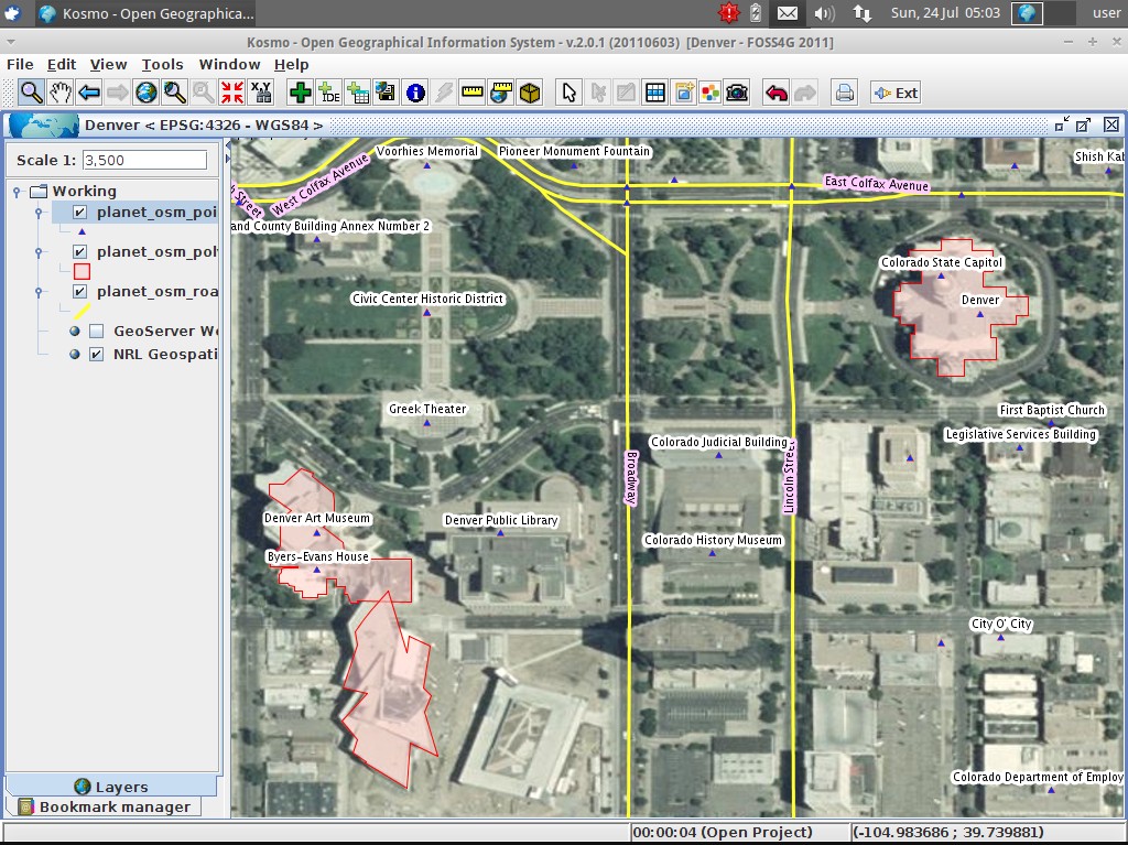
Desktop GIS
Kosmo - Desktop is a user friendly, desktop GIS application which allows you to explore, edit
and analyse spatial data from a variety of databases, vector and raster formats.
Kosmo - Desktop follows OGC standards and provides excellent topology integrity.
It’s plug-in architecture enables it to be easily customised for specific purposes.
Core Features
Supported formats:
- Vectorial file formats: Shapefiles, GML, DXF, DWG, DGN, CSV (by an extension)
- Vectorial databases: PostgreSQL + PostGIS, Oracle, MySQL
- Raster file formats: ECW, MrSID, Tiff, JPG, GIF, PNG, BMP
- OGC services: WMS 1.0.0/1.1.0/1.3.0, WFS 1.0.0/1.1.0
Key features:
- User friendly GUI, focused on an easy learning curve
- Available in 12 languages (English, Spanish, Italian, German, Croatian, Czech, Russian, Slovak, Catalan, Euskera, Brassilian Portuguese, Finnish)
- Advanced printing module based on OpenOffice offimatic suite (by an extension)
- Topology consistency rules: pre/during/post edition
- Topology validation and cleaning tools (intersect/eliminate/clean)
- Geoprocessing wizard extension: buffer/dissolve/merge/clip/intersection/spatial join/difference (by an extension)
- Raster georreferencing tool (by an extension)
- Sextante 0.6 integrated (by an extension)
Implemented Standards
- Web Map Service (WMS) 1.0.0/1.1.0/1.3.0
- Web Feature Service (WFS) 1.0.0/1.1.0
- Styled Layer Descriptor (SLD) (import/export)