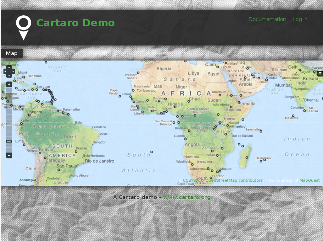
Cartaro dostarcza geoprzestrzennej funkcjonalno?ci i us?ug sieciowych poprzez System Zarz?dzania Tre?ci? (CMS) Drupal. Za pomoc? kilku klikni?? w Cartaro, jeste? w stanie stworzy? i uruchomi? us?ugi sieciowe w standardach OGC oraz stworzy? mapy na stronach internetowych. Cartaro jest zbudowane na komponentach Open Source: bazie danych PostGIS, us?ugach GeoWebCache GeoServer , mapach w przegl?darce internetowej OpenLayers, wszystko zarz?dzane za pomoc? pot?nego systemu zarz?dzania tre?ci? Drupal CMS.
Cartaro jest zaprojektowane dla stron CMS, kt?re musz? obs?ugiwa? dane przestrzenne, i dla organizacji chc?cych lekkiej infrastruktury Danych Przestrzennych (SDI) przy minimalnych nak?adach na konfiguracj? i programowanie.

Most SDI functionality comes right out of the box through the close integration of Drupal with PostGIS and GeoServer. The main features of Cartaro are:
Strona internetowa: http://cartaro.org/
Licencja: GNU General Public License (GPL) wersja 2
Wersja programu: 1.0-beta4
Systemy operacyjne: Windows, Linux, Mac
Interfejsy API: JavaScript, PHP
Wsparcie: http://www.geops.de