

deegree is free, stable, powerful and easy to use. deegree is the most comprehensive set of implementations of Open Geospatial Consortium (OGC) standards in free and open source software, ranging from a transactional Web Feature Service to three-dimensional data display through a Web Terrain Service and many more!
deegree is a solution for web- and desktop-based Geographic Information Systems (GIS) and Spatial Data Infrastructures (SDI). It is comprised of a comprehensive yet powerful Java Application Programming Interface (API) and a powerful object-relational mapping for simple and complex spatial schemas. deegree also provides a set of standards-compliant webservices for web mapping, feature and catalogue services as well as sensor and processing services.
deegree gets your SDI up and running, using your own data and fulfilling your requirements.
Web Map Service
liniowe) jako symbolizacja punktowa * źródła danych: wszystkie powszechne usługi sieciowe OGC (WMS, WFS, WCS), PostgreSQL/PostGIS, Oracle Spatial, wszystkie zapytania SQL mogą być użyte do utworzenia zawartości warstwy WMS * bardzo stabilny, nawet przy dużych skalach * obsługa żądań HTTP GET, HTTP POST oraz feature info * certyfikat zgodności ze standardami OGC
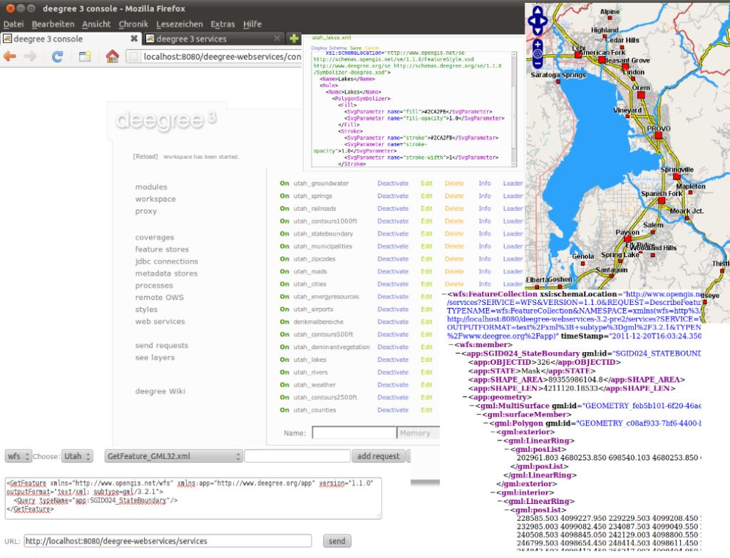
Web Feature Service
Web Coverage Service
Catalogue Service
Transaction - Insert, Update, Delete; Harvesting
Web Map Print Service
jest zatrzymane przez administratora lub błąd komputera
Web Perspective View Service
- źródła danych: zdalny/lokalny-WMS, zdalny/lokalny-WFS, lokalny-WCS,
Postgres/PostGIS, Oracle Spatial * modelami terenu mogą być dane wektorowe lub rastrowe * zapytania: Get3DFeatureInfo, GetView
i profilem INSPIRE * OGC Web Perspective View Service (WPVS) Draft 6 * OGC Web Coordinate Transformation Service (WCTS) 0.4.0 * OGC Web Processing Service (WPS) 0.4.0, 1.0.0 * OGC Sensor Observation Service (SOS) 1.0.0
Strona internetowa: http://deegree.org
Licencja: GNU Mniejsza Powszechna Licencja Publiczna (LGPL)
Wersja programu: 3.2-pre3
Systemy operacyjne: Windows, Linux
Interfejsy API: Java
Wsparcie: http://wiki.deegree.org/deegreeWiki/GettingSupport