project logo

EOxServer

Usługi sieciowe

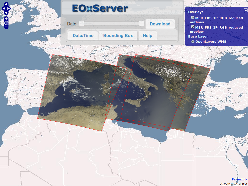
EOxServer jest serwerem służącym do prezentowania dużych archiwów danych Earth Observation (EO) i ich metadanych z użyciem Otwartych Standardów.

Earth Observation data currently supported includes 2D raster data generally acquired using sensors on satellites or aircrafts and including information about the time of acquisition and the footprint on planet Earth. It is typically used to monitor Earth’s natural and built environment.

EOxServer builds upon an Open Source stack of software which includes Python, MapServer, Django/GeoDjango, GDAL, PROJ.4 and a SpatiaLite or PostGIS database.

EOxServer embedded client

Główne funkcje

  • Przeglądanie, filtrowanie, wybieranie i pobieranie danych EO
  • Rejestracja archiwów danych EO
  • Web based and command line administration interface
  • Publikowanie danych Open Geospatial Consortium (OGC) standards:
    • Web Coverage Service (WCS) 1.0, 1.1 and 2.0 & proposed EO-WCS
    • Web Map Service (WMS) & EO-WMS
    • Proposed extensions to WCS including: GeoTIFF encoding, predefined projections (CRSs), scaling, and interpolation.
    • Protocols supported are: KVP and XML/POST (used together with SOAP2POST Proxy to provide also XML/SOAP)
  • Publikowanie przy użyciu poniższych formatów i zgrupowań:
    • 2-D EO Coverages derived from gmlcov:RectifiedGridCoverage
    • 2-D EO Coverages derived from gmlcov:ReferenceableGridCoverage
    • Dataset Series as a collection of EO Coverages e.g. in a time series
    • Stitched Mosaics of Rectified EO Coverages including contributingFootprint
  • Obsługiwane formaty pokrycia:
  • GeoTIFF
  • Formaty obsługiwane przez bibliotekę GDAL

Zaimplementowane standardy

  • WCS, EO-WCS
  • WMS, EO-WMS
  • GML, GMLCOV, EO-O&M

Szczegóły

Strona internetowa: http://eoxserver.org/

Licencja: MIT-style license

Wersja programu: 0.2.3

Systemy operacyjne: Linux, Windows, Mac

Interfejsy API: Python

Wsparcie: http://eoxserver.org/doc/en/users/basics.html#where-can-i-get-support

Copyright & Disclaimer