project logo

ZOO Project Quickstart

The ZOO-Project provides a developer friendly Web Processing Service (WPS) framework for creating and chaining Web Processing Services. A WPS provides web access to functions which run spatial algorithms.

This Quick Start describes how to:

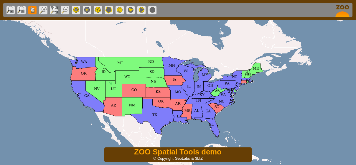
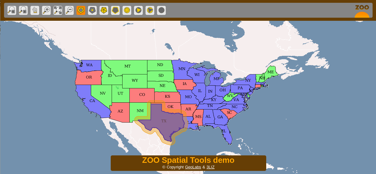
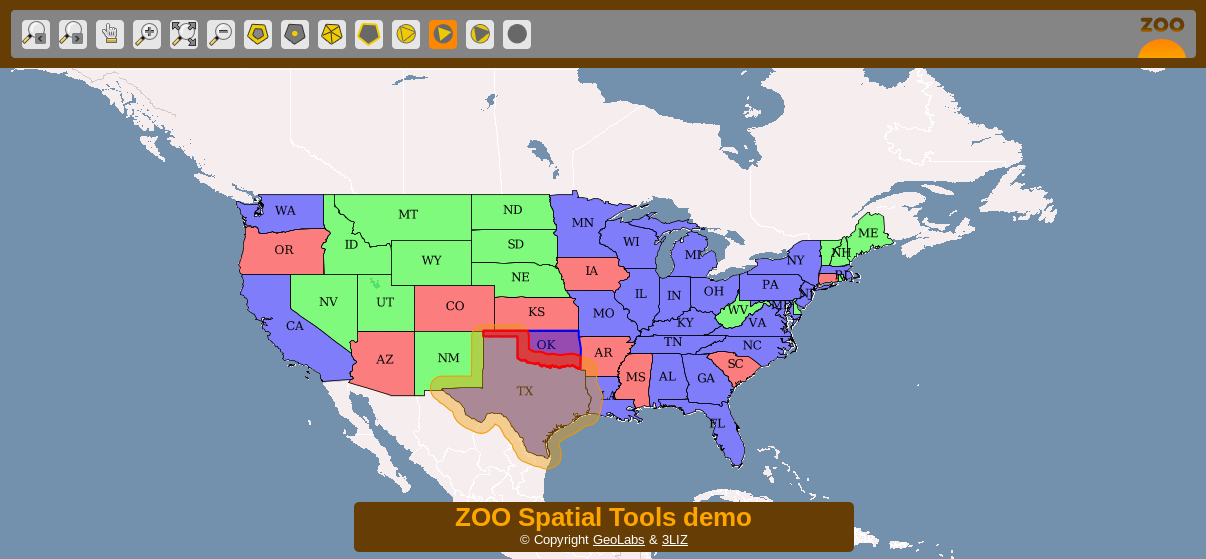
  • Apply processes to a WFS from a web browser.

Running

  • To run the ZOO Project demo from the OSGeo-Live DVD, click successively on the Geospatial ‣ Web Services ‣ GeoServer ‣ Start GeoServer then on the “ZOO Project” links on the desktop or you will find it in the menu-items.
  • Firefox will open the ZOO Project Spatial Tools demo.
screenshot
  • Click on the map to select a feature from the GeoServer WFS Server, the feature will be displayed in blue, then click on simple geometry process like Buffer, Centroid, ConvexHull or Boundary and the result will be displayed in yellow.
screenshot
  • Now select another feature near the first you’ve selected then click on multiple geometries process button Union, Intersection, Symmetric Difference or Difference to get the result displayed in red on the map.
screenshot

What Next?

Copyright & Disclaimer