
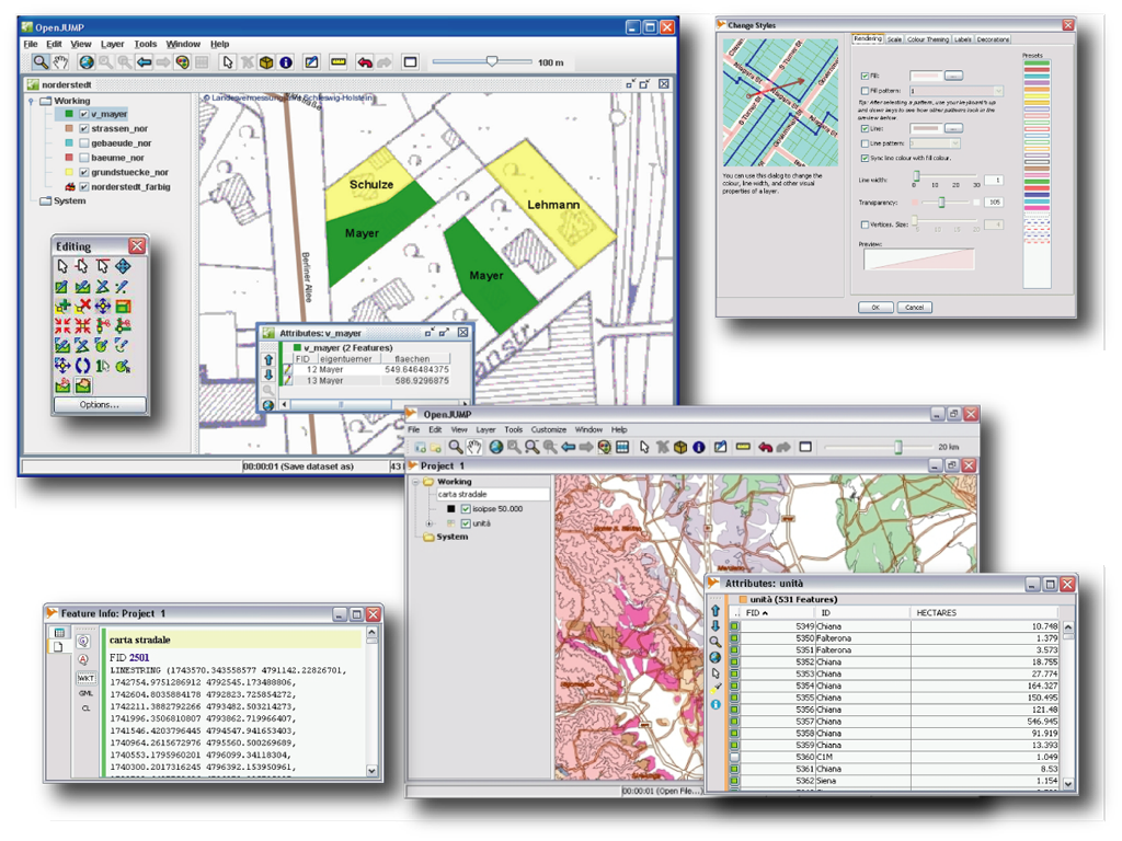
OpenJUMP is an easy to use and powerful desktop GIS that enables users to display, edit, analyse and conflate geographic data. It comes in a CORE and a PLUS edition, with the latter adding lots of useful plugins. OpenJUMP is excellent for data editing and rapid prototyping of GIS functions.
Data Formats
- reads (files): GML, SHP, DXF+, MIF*, CSV+, KML+ & TIFF, ASCII grid, JPG, PNG, JPEG2000+, MrSID*, ECW+
- reads (DB): PostGIS, ArcSDE*, Oracle*, MySQL* and SpatiaLite*
- reads (OGC standards): WKT, WMS, KML+
- writes: GML, SHP, WKT, DXF+, PostGIS & JPG, TIFF, ASCII grid*, SVG+
- note, formats marked with a (*) require an additional plugin, and with (+) are part of the PLUS edition.
Editing & Conflation
- drawing points, lines, polygons, multi-geometries, geometry collections and circles (eventually mixed in a single layer)
- adding, moving, deleting vertices
- rotating, scaling, auto-complete polygon
- cut, merge, simplify polygons and lines
- warping, quality assurance tools
Analysis & Query
- spatial and attribute query functions
- analysis : buffer, union, overlay, centroid, convex hull...
- statistics : length, area, layer statistics, attribute statistics, plots...
- editing tools : converter, noder, polygonizer, planar graph, topology cleaning in PLUS edition, ...
- attribute transfer tools : join, matching*
- SEXTANTE raster analysis toolbox included in PLUS edition
Customization
- internationalization (cz, de, en, es, fi, fr, hu, it, ja, pt, ta, zh)
- provides an API, scripting via BeanShell and Java Python/Ython
- (Java) plugin-system
Website: http://www.openjump.org
Licence: GPL
Software Version: 1.6.3
Supported Platforms: Windows, Linux, Mac, Unix
Community Support: http://www.openjump.org/support.html
Commercial Support: http://sourceforge.net/apps/mediawiki/jump-pilot/index.php?title=Professional_Support_Page
Download Page: http://sourceforge.net/projects/jump-pilot/files/