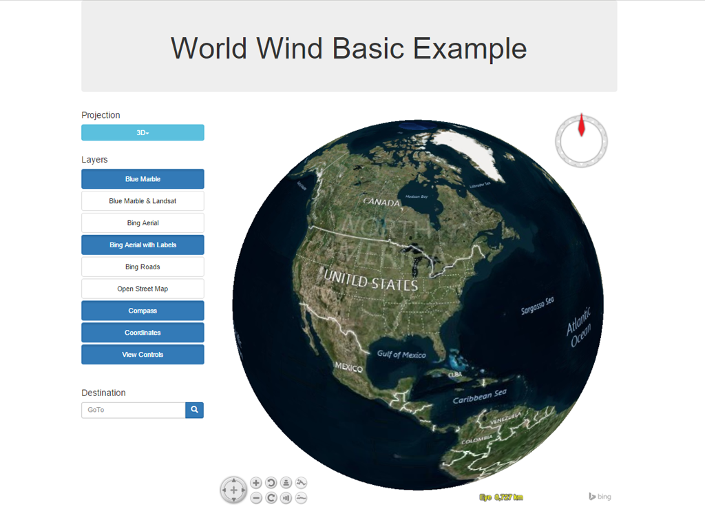
Web World Wind is a browser based, 3 dimensional virtual globe. It allows users to zoom from satellite altitude to any place on earth, experiencing the earth in 3 dimensions, as if really there. It is easy to use, only requiring a two button mouse. It is used to monitor weather patterns, visualize cities and terrain, track the movement of planes, vehicles and ships, analyze geospatial data, and educate people about the Earth.
Web World Wind provides an extensible, javascript platform which enables web developers to quickly create custom globes and 2 dimensional maps which can express, manipulate and analyze spatial data. You can show terrain and high-resolution imagery, include a compass, map coordinates, and view controls.

Graphics Capabilities:
Website: http://webworldwind.org/
Licence: NASA Open Source Agreement Version 1.3
Software Version: World Wind Pre-release
Supported Platforms: Windows, Linux, Mac
Forum: http://forum.worldwindcentral.com/forumdisplay.php?60-Web-World-Wind
| doc: | Quickstart documentation |
|---|