project logo OSGeo Project

istSOS

Data Management Tool

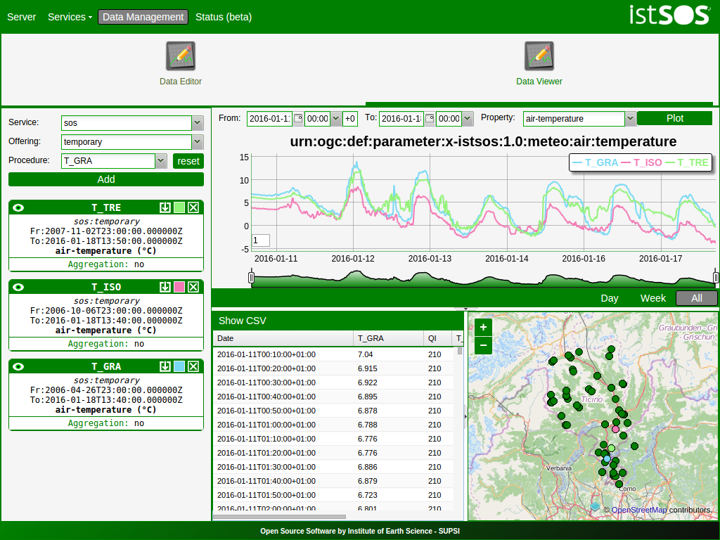
istSOS is sensor data management tool that allows collection, maintenance and publishing of monitoring observations using the Open Geospatial Consortium (OGC) Sensor Observation Service (SOS) standard.

data viewer

istSOS strictly implements the SOS 1.0.0 standard, and has passed the OGC CITE (Compliance + Interopability Testing + Evaluation) units tests.

Core Features

  • Publish sensor data in accordance with the Sensor Observation Service (SOS) standard.
  • Administer sensors and data with an intuitive web-based interface.
  • Use a complete RestFul API to access istSOS functionality from external clients to create interactive charts, display sensor on a dinamic map or just write some maintainance scripts.
  • Get notified through mail, twitter or other social media when sensor data meets specific conditions.
  • User authentication and authorization with different access levels (administrator, network manager, data manager and visitor).
  • Create Virtual Procedures that looks like normal stations but whose data results from on-the-fly elaboration of other sensor data.
  • Associate quality indexes to each observation thanks to embedded validation tests.
  • Online editing of data with a seamless interface and advanced observation calculator.

Implemented Standards

  • SOS 1.0.0: Basic and Transactional profiles

Details

Website: http://istsos.org

Licence: GNU General Public License (GPL) version 2

Software Version: 2.3.0

Supported Platforms: Linux, Unix, Mac, Windows

API Interfaces: Python / wsgi

Support: https://groups.google.com/forum/#!forum/istsos

Copyright & Disclaimer