
GpsDrive
GPS Navigation Software
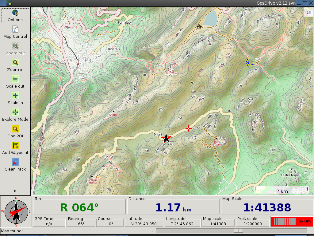
GpsDrive is a car (bike, ship, plane, foot) navigation system. GpsDrive displays your position provided from a GPS on a zoomable map. The map file is auto-selected depending on your position and preferred map scale. All GPS receivers which support the NMEA protocol should be usable, as well as many USB GPSs using a binary protocol known to the Gpsd GPS daemon and multiplexer.
Core Features
- Download LANDSAT or OpenStreetMap data from the Web, or register your own images
- Live rendering of OpenStreetMap data stored in a PostGIS database using Mapnik
- Live rendering from NASA’s Blue Marble high-resolution mosaic
- Verbal instructions using eSpeak
- Highly customizable dashboard and GUI
- GPX track and route support, a number of waypoint storage options including SQLite and GpsBabel-compatible plain text files
- Search for nearest POI waypoints within a given radius
- Route planning
- Included server to keep track of your friends’ positions
- Kismet Wifi integration
Details
Website: http://www.gpsdrive.de
Licence: GNU General Public License (GPL) version 2
Software Version: 2.12
Supported Platforms: GNU/Linux, Mac OSX
Support: http://gpsdrive.de/support.shtml