
Kosmo Desktop
Desktop GIS
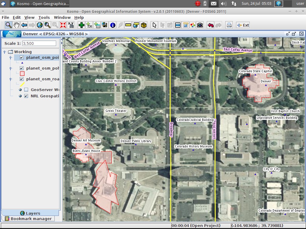
Kosmo - Desktop is a user friendly, desktop GIS application which allows you to explore, edit and analyse spatial data from a variety of databases, vector and raster formats.
Kosmo - Desktop follows OGC standards and provides excellent topology integrity. It’s plug-in architecture enables it to be easily customised for specific purposes.
Core Features
Supported formats:
- Vectorial file formats: Shapefiles, GML, DXF, DWG, DGN, CSV (by an extension), KML (by an extension)
- Vectorial databases: PostgreSQL + PostGIS, Oracle, MySQL, SpatiaLite (by an extension)
- Raster file formats: ECW (*), MrSID (*), (Geo)Tiff, Erdas IMG, ENVI hdr, JPG, GIF, PNG, BMP,...
- OGC services: WMS 1.0.0/1.1.0/1.3.0, WFS 1.0.0/1.1.0 (including WFS-T)
Key features:
- User friendly GUI, focused on an easy learning curve
- Available in 13 languages (English, Spanish, Italian, German, Croatian, Czech, Russian, Slovak, Catalan, Euskera, Brazilian Portuguese, Finnish, Portuguese)
- Advanced edition capabilities:
- Multiple drawing tools: draw point, draw linestring, draw polygon, ...
- CAD style tools: rotate, rotate by angle, symmetry, perpendicular, paralell, ... (by an extension)
- Multiple snapping modes: to vertexes, to vertexes and lines, to segment mid points, to centroids, to grid, ...
- Geometry tracking mode
- Advanced snap manager (by an extension)
- Advanced printing module based on OpenOffice offimatic suite (by an extension)
- Topology consistency rules: pre/during/post edition
- Topology validation and cleaning tools (intersect/eliminate/clean)
- Geoprocessing wizard extension: buffer/dissolve/merge/clip/intersection/spatial join/difference (by an extension)
- Raster georreferencing tool (by an extension)
- Sextante 1.0 integrated (by an extension)
- Massive import/export operations wizard (by an extension)
- PDF printing module (by an extension)
- GPS tools (by an extension)
Note
(*) ECW and MrSID raster formats require an extra download to work: due to licensing restrictions their libraries can’t be distributed
Implemented Standards
- Web Map Service (WMS) 1.0.0/1.1.0/1.3.0
- Web Feature Service (WFS) 1.0.0/1.1.0
- Styled Layer Descriptor (SLD) 1.0/1.1 (import/export)
Details
Website: http://www.opengis.es/index.php?lang=en
Licence: GNU General Public License (GPL) version 3
Software Version: 3.1
Supported Platforms: Windows, Linux
API Interfaces: Java
Commercial Support: http://www.saig.es/index.php?lang=en