
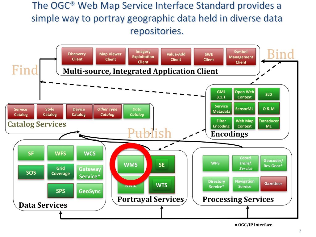
Web Map Service (WMS)
The (OGC®) Web Map Service Interface Standard (WMS) provides a simple HTTP interface for requesting geo-registered map images from one or more distributed geospatial databases. The response to the request is one or more map images (returned as JPEG, PNG, etc) that can be displayed a browser and desktop applications. (http://www.opengeospatial.org/standards/wms)
The WMS standard defines three operations:
- GetCapabilities (required): Obtain service-level metadata, which is a machine-readable (and human-readable) description of the WMS’s information content and acceptable request parameters.
- GetMap (required): Obtain a map image whose geospatial and dimensional parameters are well defined.
- GetFeatureInfo (optional): Ask for information about particular features shown on a map.
This standard is now implemented in hundreds of products, many of which are registered at (http://www.opengeospatial.org/resource/products/compliant).
An excellent example of a portal that uses WMS is NC OneMap (http://www.nconemap.com/): “NC OneMap relies on Web Map Services (WMS) to bring data together from multiple hosts. NC OneMap partners establish a WMS from their servers. This OGC standard allows data to be created and stored in numerous proprietary software configurations (ESRI, MapInfo, Intergraph, etc), but is viewable by all.”
See Also
An OGC WMS Cookbook and other materials for developers can be found at http://www.opengeospatial.org/resource/cookbooks.
Other OGC portrayal service standards:
- Web Feature Service (WFS)
- Web Coverage Service (WCS)
- Web Map Tile Service
- Geography Markup Language (GML)
- KML Encoding Standard (KML)
- Style Layer Descriptor (SLD)
- Symbology Encoding
- Filter Encoding (FE)