

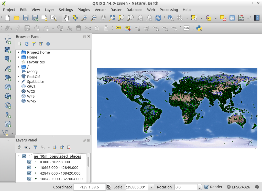
QGIS
Desktop GIS
QGIS is a user friendly, Open Source, GIS client where you can visualize, manage, edit, analyse data, and compose printable maps. It includes powerful analytical functionality through integration with GRASS, SAGA, Orfeo Toolbox , GDAL/OGR and many other algorithm providers. It runs on Linux, Unix, Mac OSX, and Windows and supports numerous vector,raster and database formats and functionality.
Core Features
Friendly graphical user interface:
- identify/select features
- edit/view/search attributes
- on the fly projection
- print composer
- feature labeling
- change vector and raster symbology
- add a graticule layer
- and more ...
Easy Viewing of many Vector and Raster Formats
- database tables: PostgreSQL/PostGIS, Oracle Spatial, MS SQL Spatial, SpatiaLite
- most vector formats: including ESRI shapefiles, MapInfo, SDTS and GML, OpenStreetMap vectors
- raster formats such as digital elevation models, aerial photography or landsat imagery
- GRASS locations and mapsets
- online spatial data served as OGC-compliant WMS, WMTS, WFS or WCS
- 2.5D rendering support
Create, edit and export spatial data using:
- digitizing tools for GRASS and shapefile formats
- the georeferencer plugin
- GPS tools to import and export GPX format, convert other GPS formats to GPX, or down/upload directly to a GPS unit
Perform spatial analysis using integrated support for SAGA, OTB, MMGIS and GRASS
- map algebra
- terrain analysis
- hydrologic modeling
- network analysis
- comprehensive searchable toolbox of functions
- define and run reusable analysis routines by chaining functions using a graphical modelling tool
- and many others
Publish to the internet
Extensible plugin architecture
Implemented Standards
- OGC standards compliant (WMS, WFS, ... )
Details
Website: http://www.qgis.org
Licence: GNU General Public License (GPL) version 2
Software Version: 2.14.14
Supported Platforms: Windows, Linux, Mac, Unix
Community Support: http://qgis.org/en/site/forusers/support.html
Commercial Support: http://qgis.org/en/site/forusers/commercial_support.html