
User-friendly Desktop Internet GIS (uDig)
Desktop GIS
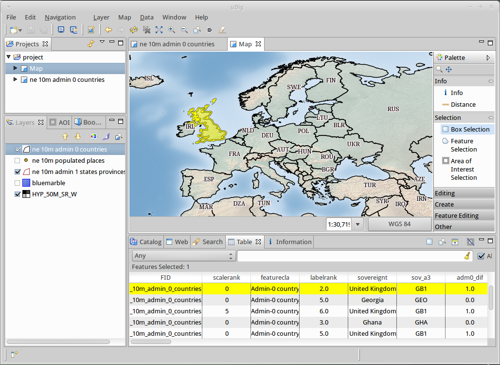
User-friendly Desktop Internet GIS (uDig) is an open source spatial data viewer/editor, with special emphasis on the OpenGIS standards for internet GIS, the Web Map Server (WMS) and Web Feature Server (WFS) standards.
uDig is:
- User-friendly, providing a familiar graphical environment for GIS users;
- Desktop located, running natively on Windows, Mac OS/X and Linux;
- Internet oriented, consuming standard and de facto geospatial web services; and,
- GIS ready, providing the framework on which complex analytical capabilities can be built, and gradually subsuming those capabilities into the main application.
For developers uDig provides a common Java platform for building spatial applications with open source components. The website provides series of clear tutorials covering making a simple tool through to releasing your own custom application.
Core Features
- Desktop Client with Drag and Drop integration for File explorer and Web Browser
- Integrate with your existing infrastructure: ArcSDE, Oracle, DB2 and more
- Work with local files: Shapefile, jpeg, png, tiff and more.
- Work with advanced spatial raster formats: ECW, MrSID, JPEG 2000
- Support for compliant Web Map Servers (GeoServer, MapServer tested)
- Integrated Web experience with an embedded browser that recognises OGC web services and smoothly adds links to the onscreen map
- Style Layer Descriptor control of rendering allowing you to publish your Map using the same settings in uDig as with popular Web Map Servers
- Deep integration of standards allowing the application to swap between the appropriate service as required for display, interaction and editing
- Printing and PDF Generation
- For Developers
- Java Application built using the GeoTools, JTS Topology Suite (JTS)
- Industrial strength plug-in system provided by Eclipse Rich Client Platform
- Use of native widgets
Implemented Standards
- OGC Web Map Server (WMS)
- OGC Web Feature Server (WFS)
- OGC Web Feature Server Transactional (WFS-T)
- OGC Simple Features for SQL (SFQL)
- Web Map Server Cache (WMS-C)
- OGC Style Layer Descriptor (SLD)
Details
Website: http://udig.refractions.net/
Licence: Dual BSD / EPL (Eclipse Foundation)
Software Version: 2.0.0.RC1
Supported Platforms: Windows, Linux, Mac
API Interfaces: GeoTools, ImageIO-Ext, Java Advanced Imaging, Eclipse Rich Client Platform, Eclipse Modelling Framework
Support: http://udig.refractions.net/users/
Developers: http://udig.refractions.net/developers/