
R for Spatial Data
Statistical Programming
R is a powerful, widely used software environment for statistical computing and graphics which excels at analyzing and processing geographic data sets. Geospatial analysis capabilities within R are available in R packages (modules that extend the capabilities of R) that provide access to a huge number of traditional and state of the art algorithms (). R and its packages are able to process point, line, polygon, networks, grid data (etc.).
Users can accomplish a broad array of tasks such as: image classification, statistical analysis to infer spatial relationships and patterns of features, and others listed in the core features below. The functions available via R complement and advance capabilities found in GIS and image processing software. Using packages for parallelisation users can drastically reduce computational time and increase these capability. Several packages provide connection with other OSGeo tools and software. You can easily plug R with GRASS-GIS, Qgis, postgreSQL and postGIS.
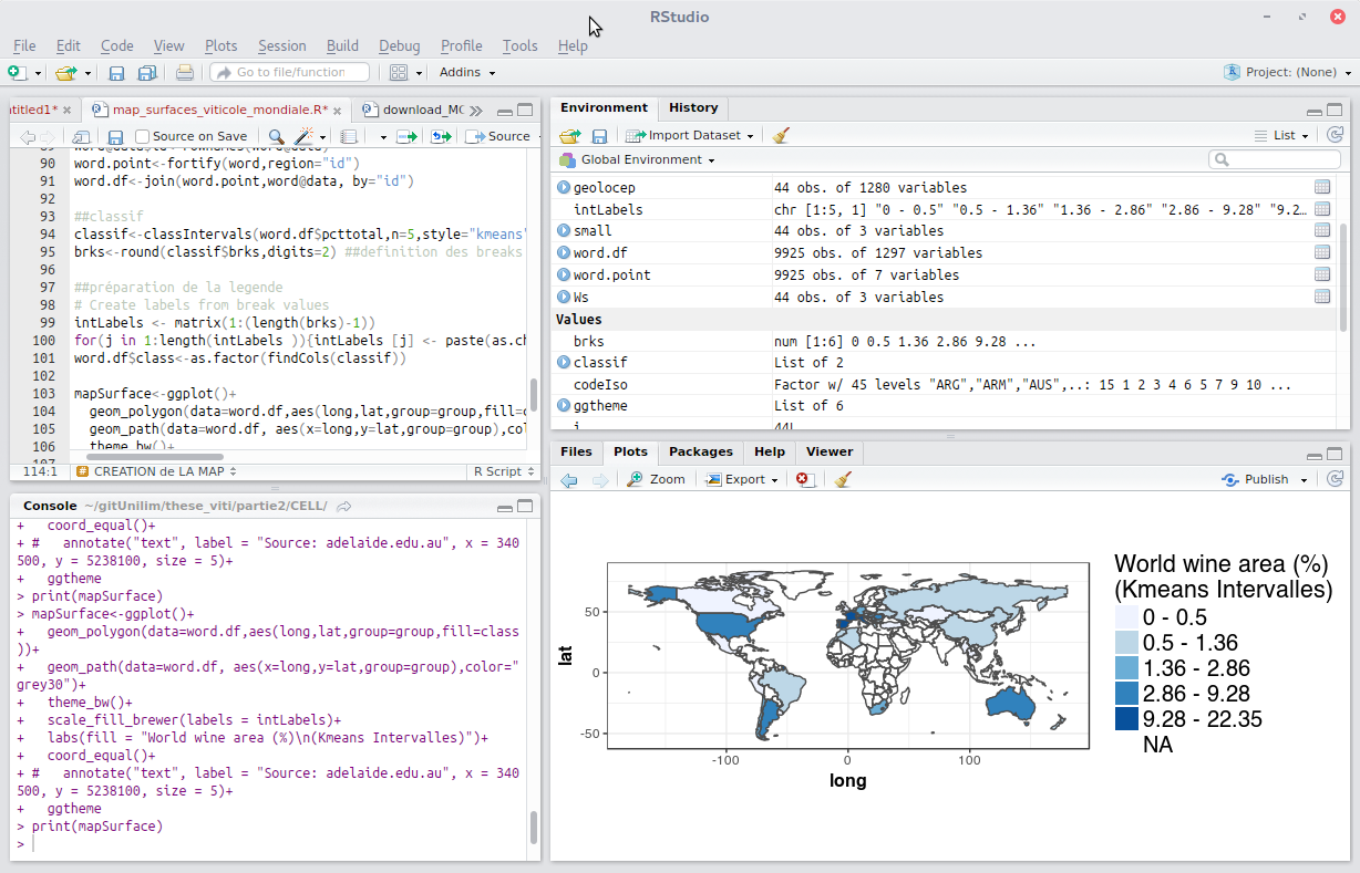
The core R interface is a command line window which provides excellent flexibility and control but tends to lengthen the time required to become a proficient user when compared to software with a graphical user interface (GUI). Fortunately R is well documented on the web site which eases the learning process. Scripts are often used to automate processing steps but there are GUIs, the leading one being RStudio (http://www.rstudio.com).
R is an implementation of the S programming language and there is significant compatibility between R and legacy S and S-Plus code as well as between R and the modern commercial version of S, TIBCO Spotfire S+. This makes it possible to convert different versions of S code to run on R without major code modifications.
Core Features
- Complete Object Oriented Programming Language designed for Statistics and similar Mathematical intensive applications
- Currently (2017/08/11), the CRAN package repository features 11239 available packages.
- Hundreds of community contributed add-on packages for spatial statistics
- Classes for spatial data
- Reading and writing spatial data
- Point pattern analysis
- Geostatistics
- Spatial regression
- Ecological analysis
- Powerful raster processing algorithms
- Remote sensing
- Bayesian spatial analysis
- …
Details
Website: http://cran.r-project.org
Licence: GPL
Software Version: 3.4.4
Supported Platforms: Windows, Linux, Mac, Unix
Community Support: http://cran.r-project.org/web/views/Spatial.html
CRAN packages available: https://cran.r-project.org/web/packages/available_packages_by_name.html