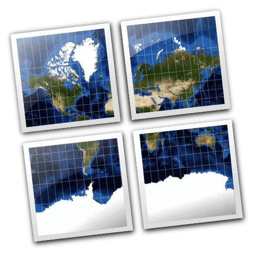
MapTiler is a desktop application for the creation of map tiles for rapid raster map publishing. Geodata is transformed to tiles compatible with Google Maps and Earth - ready for publishing via direct upload to any webserver or a cloud storage (such as Amazon S3).
No extensive configuration on the server side is necessary, any simple file hosting is fine. Dynamic interaction such as panning and zooming, overlay of markers and vector data is provided by powerful browser functionality.
The application directly generates a ready to use simple viewer based on OpenLayers and Google Maps API and can be easily customized.
MapTiler is a multi-platform desktop application. Installers are available for Windows, Mac OS X and packages for linux (Debian/Ubuntu).
Website: http://www.maptiler.org/
Licence: New BSD License
Software Version: 1.0beta2
Supported Platforms: Windows, Linux, Mac
Community: http://groups.google.com/group/maptiler
Commercial support and applications: http://www.maptiler.com/