project logo

OpenCPN

Marine GPS navigation software

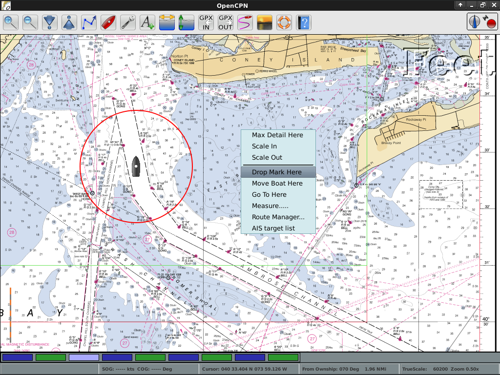
OpenCPN is a free software project to create a concise chart plotter and navigation software for use as an underway or planning tool. OpenCPN is developed by a team of active sailors using real world conditions for program testing and refinement.
Core Features

screenshot

OpenCPN supports:

  • BSB raster, C-MAP (CM93/2) and S-57 ENC vector charts
  • AIS input decoding
  • NMEA GPS or Gpsd daemon input
  • Waypoint / autopilot navigation
  • Unlimited route/mark creation
  • Quilted charts
  • International language support
  • Cross-platform support
  • GRIB weather data overlay

Details

Website: http://www.opencpn.org

Licence: GNU General Public License (GPL) version 2

Software Version: 2.1.624a

Supported Platforms: GNU/Linux, Mac OSX, MS Windows

Support: http://www.cruisersforum.com/forums/f134