project logo

osgEarth

Narzędzia do modelowania terenuTerrain rendering toolkit

osgEarth jest zestawem skalowalnych narzędzi do renderowania terenu w oparciu o OpenSceneGraph (OSG). Posiada otwarte źródła, jest wysoko wydajny i obsługuje grafikę 3D. Stwórz prosty plik XML, umieść go nad swoim zobrazowaniem, rzeźbą terenu, danymi wektorowymi i wczytaj do swojej ulubionej aplikacji OSG. osgEarth obsługuje wszystkie rodzaje danych, a także zawiera wiele przykładów służących pomocą, aby szybko i sprawnie zacząć pracę.

screenshot

Główne funkcje

osgEarth makes is easy to deploy scalable terrain models:

  • Create terrain models - either offline, or dynamically at run-time
  • Load whole-earth terrains without writing any code
  • Layer imagery to produce high-resolution insets
  • Combine multiple imagery, elevation, and vector data sources on the fly
  • Set up map tile caches to maximize performance
  • Adjust layer opacity for multi-texturing effects

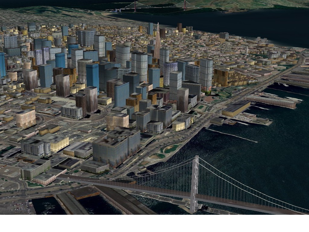
But osgEarth does more than just render terrain:

  • Drape vector (GIS) data on the terrain
  • Reproject data among different coordinate reference systems
  • Place external models on the terrain with lat/long coordinates
  • Do fast intersection testing
  • Incorporate new data into existing VPB databases (without rebuilding them)
  • Access terrain tiles directly for non-visual processes

Things you can see:

Szczegóły

Strona internetowa: http://osgearth.org/

Licencja: GNU Mniejsza Powszechna Licencja Publiczna (LGPL)

Wersja programu: 2.0

Systemy operacyjne: Linux, Mac, Windows

Interfejsy API: C++

Wsparcie komercyjne: http://osgearth.org/#ProfessionalServices

Copyright & Disclaimer