
OpenStreetMap is a project aimed squarely at creating and providing free geographic data such as street maps to anyone who wants them. The project was started because most maps you think of as free actually have legal or technical restrictions on their use, holding back people from using them in creative, productive or unexpected ways.
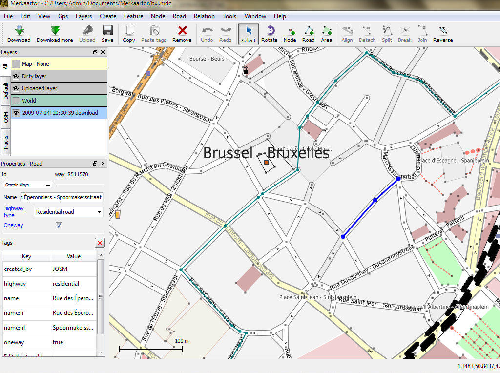
Five programs have been included: JOSM, Merkaartor, Gosmore, Osmarender, and Osm2pgsql. In addition recent sample data for the host city and a number of JOSM plugins have been included.
Strona internetowa: http://www.openstreetmap.org
Licencje:
Wersje oprogramowania:
Systemy operacyjne: GNU/Linux, Mac OSX, MS Windows
Interfejsy API (data): REST (via Xapi), XML
Wsparcie: http://wiki.openstreetmap.org/