
pycsw is an OGC CSW server implementation written in Python.
pycsw implements clause 10 (HTTP protocol binding (Catalogue Services for the Web, CSW)) of the OpenGIS Catalogue Service Implementation Specification, version 2.0.2. Initial development started in 2010 (more formally announced in 2011).
pycsw allows for the publishing and discovery of geospatial metadata. Existing repositories of geospatial metadata can be exposed via OGC:CSW 2.0.2.
pycsw is Open Source, released under an MIT license, and runs on all major platforms (Windows, Linux, Mac OS X).
pycsw is installed by default on the OSGeo Live DVD. This QuickStart will describe how to enable pycsw display the testing interface and access the pycsw endpoint.
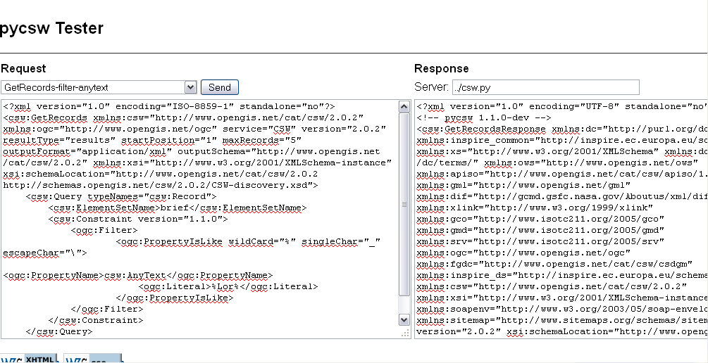
To run the pycsw tester, use the pycsw launcher from the Web Services group, or open Firefox and navigate to http://localhost/pycsw/tester/index.html
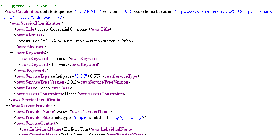
The capabilities of the pycsw installation can be found at http://localhost/pycsw/csw.py?service=CSW&version=2.0.2&request=GetCapabilities.
For full functionality, configuration options, and adding metadata to the catalogue, please consult the documentation on the pycsw website.