
GeoNetwork opensource is a standards based, distributed spatial information management system. It is designed to enable access to spatial data from a variety of data providers through descriptive metadata.
Apart from how to start GeoNetwork, this Quick Start describes:
Detailed documentation can be found in http://localhost:8880/geonetwork/docs/eng/users/index.html or by clicking on the ‘Help’ link on the GeoNetwork home page.
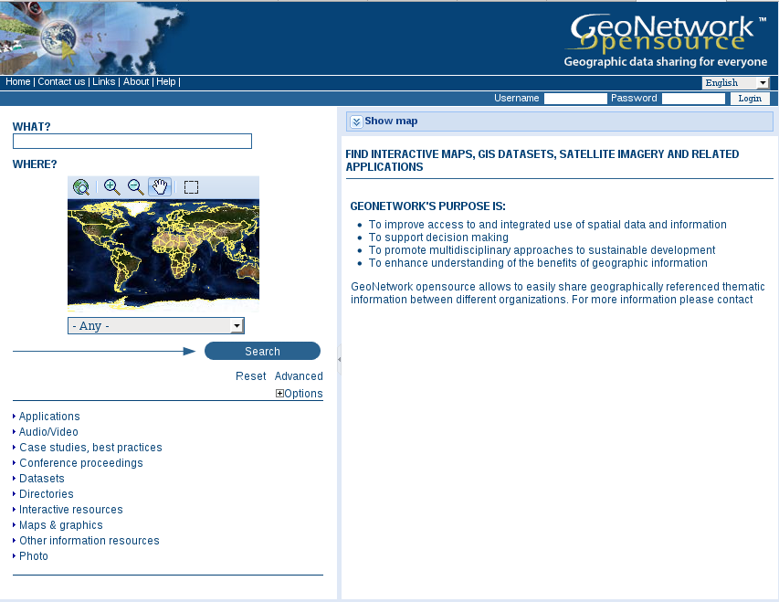

There are many different ways to search the catalogue for maps and other geographic data. This guide will introduce you to the most popular search methods: default, advanced and by category. Whichever search you choose, remember that you will see results based on your privileges and assigned work group (more on this later).
Note
The term data refers to datasets, maps, tables, documents, etc, in fact anything that can be linked to the metadata record that describes it.
The default search allows you to search text within the entire record, such as keywords of the metadata and/or geographic location.
Free text search. Type a search term in the What? field. You can type anything here (free text). You can use quotes around text to find exact combinations of words.
Text and operators (and, or, not) are not case sensitive.
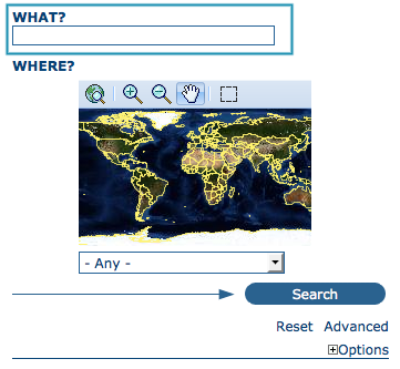
The free text field.
Geographic search. For the geographic search, two options are available for selecting a particular region to limit the search:
You can select a region from a predefined list;
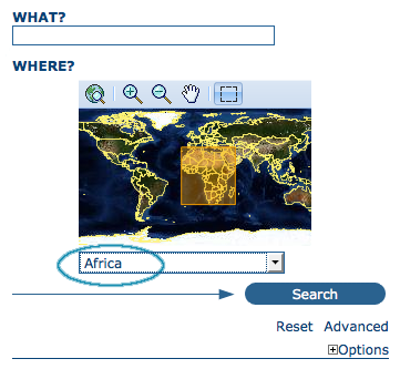
The region field
You can select your own area of interest in a more interactive way. A small global map is shown on the screen from which you can drag and drop the frame of your location area. Just click on the button on the upper right of the map screen.
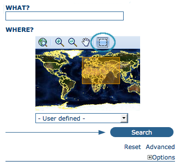
Interactive Area Of Interest map
Perform search. Both types of search, free text search and geographic search can be combined to restrict the query further.
Click the Search button to proceed and show the results.
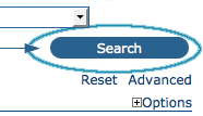
The Search button
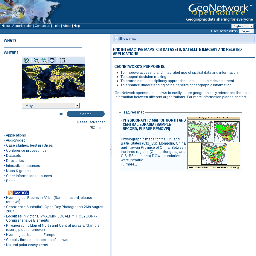
An additional way to search data within the GeoNetwork database, from the home page, is searching by Category. A list of categories is provided to the user to identify data at a more generic level: Applications, Audio/Video, Case study and best practises, Conference proceedings, Datasets, Directories, Interactive resources, Maps and graphics, Other information resources, Photo.
To search only for maps, click on Maps and Graphics. A list of maps will be displayed from which you may view details of every single map; just clicking on the Metadata button of the map you wish to review.
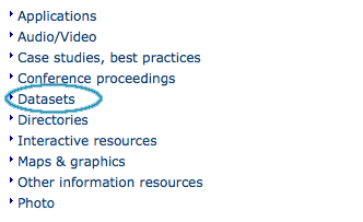
Search by Category
The advanced search option works similarly to the default search. However, you can be more specific in your search criteria as it offers different elements to look for data, each of them focusing one of the following aspects: What?, Where?, When?
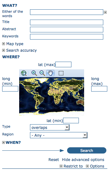
Advanced search options
To perform an advanced search, from the home page click Advanced just below the search bottom.
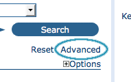
Show advanced search options
In the WHAT? section the elements are all related to the data content. Through them, in addition to searching only free keywords in the entire metadata content, you can also search directly in the title or abstract fields and add more keywords to customise your search further. You can also specify the level of accuracy you wish to reach in performing your search.
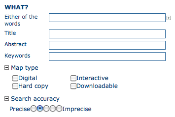
“What” section in the Advanced search
The WHERE? parameters, which are related to the spatial extent, allow you, as in the default search, either to select your own area of interest or to select a predefined region from the drop-down list. In this section you can also type the geographic coordinates of a specific location that is not available from the above list.
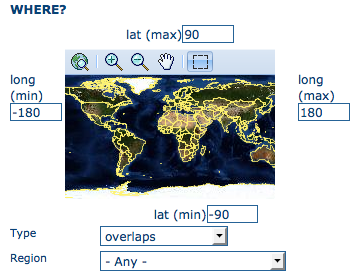
“Where” section in the Advanced search
Whatever type of geographic search you decide to perform, in the Spatial search type field, you can choose from different options: is, overlaps, encloses, is fully outside of. If you use this field, be cautious as this limits your output data as follows:
The WHEN? section gives you the possibility to restrict your search in terms of temporal extent, indicating a specific range of time referred to the data creation or publication date.
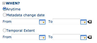
“When” section in the Advanced search
Finally, the advanced search allows you to apply further restrictions on the basis of additional parameters as data source, data categories and data format.
At last, you can customise the number of output results per page in the Hits Per Page field. Simply highlight the number of records to be displayed or leave the field set on the default number (10).
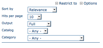
Other options in the Advanced search
The output of a search provides you a list of the metadata records that should fit your request. For each record, the result page shows the title, an abstract and the keywords. According to the privileges that have been set for each metadata, a maximum of four sections can be consulted, as shown below.
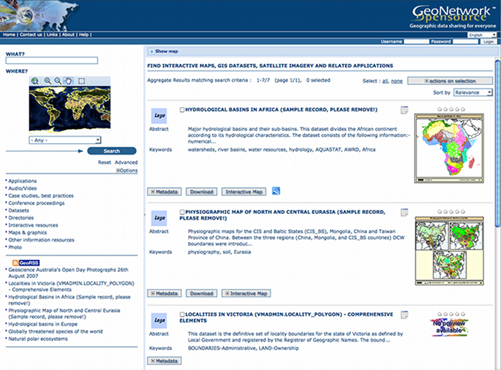
Search results
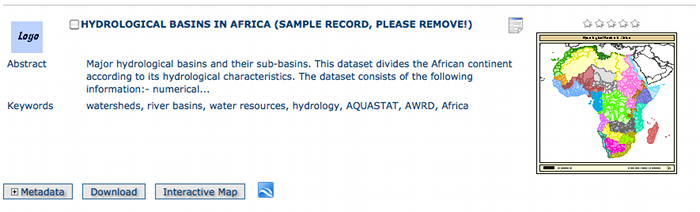
A single search result
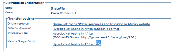
Available services related to the resource
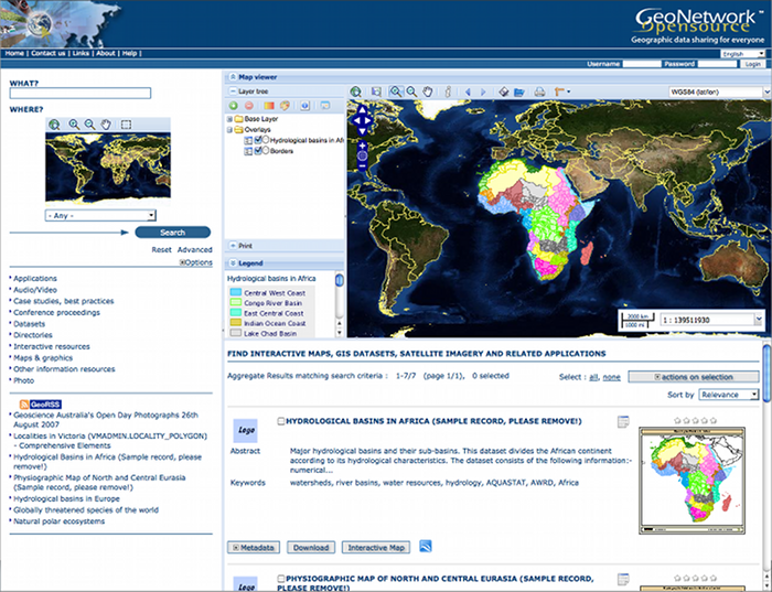
The interactive map viewer
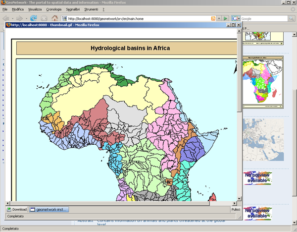
Large figure (graphic overview)
GeoNetwork uses a system of Privileges, Roles and User groups.
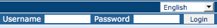
There are no restrictions for users to search and access public information in a GeoNetwork opensource based catalogue. To get access to restricted information or advanced functionality, an account to log in is required. This should be provided by the GeoNetwork administrator.
To log in, simply go to the home page and enter your username and password in the dedicated fields on the top right corner, then click the login button.
Login
Privileges. Depending on the privileges set on a metadata record and on your role as an authenticated user, you will be able to read about a resource and download or interactively browse data related to that resource.
Roles. Users with an Editor role can create, import and edit metadata records. They can also upload data and configure links to interactive map services.
User groups. Every authenticated user is assigned to a particular work group and is able to view data within that work group.
Click on the ‘Help’ link in the banner of the GeoNetwork home page or go there directly by clicking on this link: http://localhost:8880/geonetwork/docs/eng/users/index.html