OSGeoLive 7.9
An Open Source Geospatial GNU/Linux Distribution

Press "s" for slide notes, ESC to zoom out, SPACE / arrow keys to navigate.
What is OSGeoLive?
- 50+ Open Source Geospatial Applications
- Sample Datasets
- Consistant Overviews & Quickstarts
- Translations
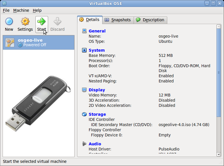
DVD / USB / Virtual Machine
Quality Criteria
- Established, stable, working software
- Active community
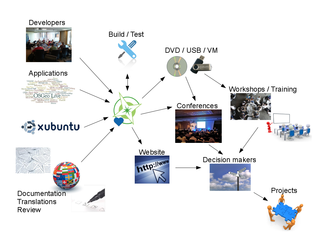
Production & Marketing Pipeline
New in 7.9?
-
Upgraded:
- QGIS, postgis
- cartaro, eoxserver, geonode, geoserver, gvsig, leaflet, mapnik, mapserver, ncwms, osm, otb, pgrouting, pycsw, R, rasdaman, saga, spatialite, zoo-project, zygrib
Open Source Geospatial Foundation (OSGeo)
Since 2006 A Non Profit Umbrella for:
- GeoSpatial Free and Open Source Software
- Education
- Open Data

OGC Standards
- Interoperability
- Future Proof
- Return on Investment
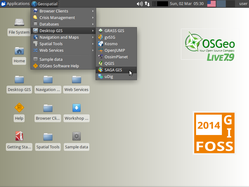
Desktop GIS
General GIS viewing, editing, and analysis on the desktop
| QGIS |
GRASS GIS |
gvSIG |
uDig |
| Kosmo |
OpenJUMP |
SAGA |
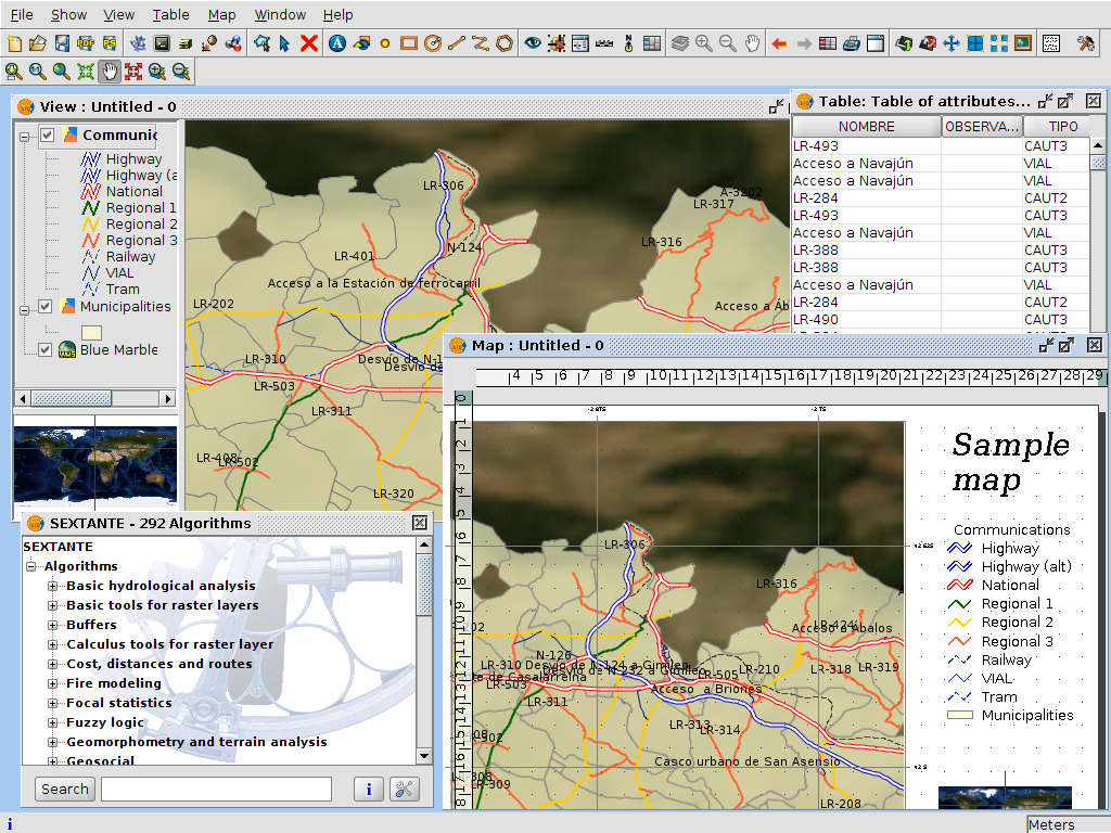
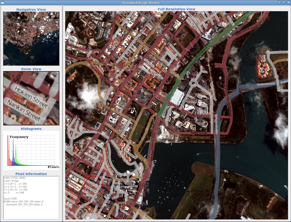
QGIS - Desktop GIS
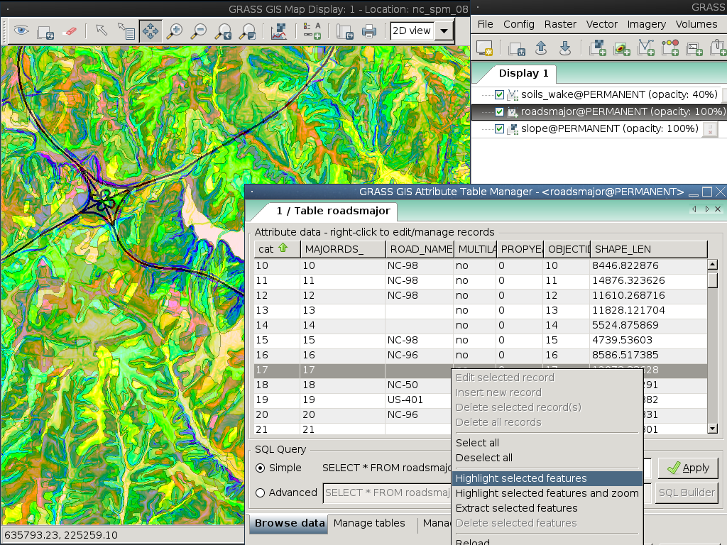
GRASS GIS
gvSIG - Desktop GIS
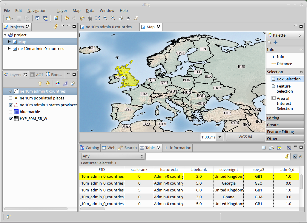
uDig: User-friendly Desktop Internet GIS
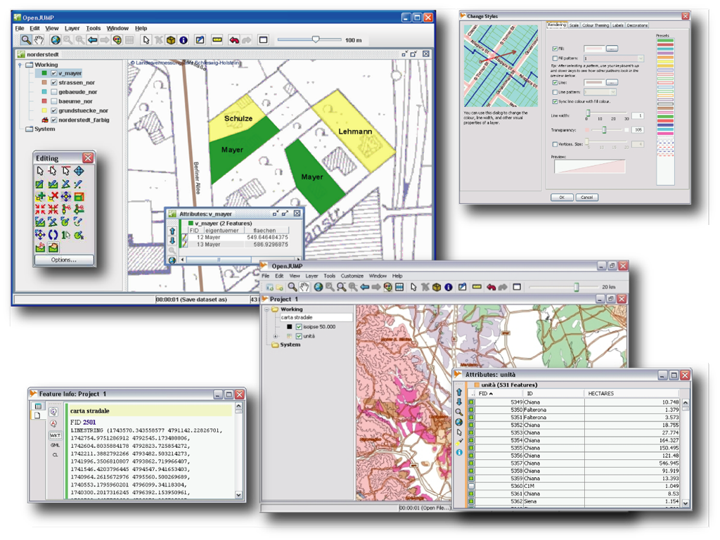
OpenJUMP GIS
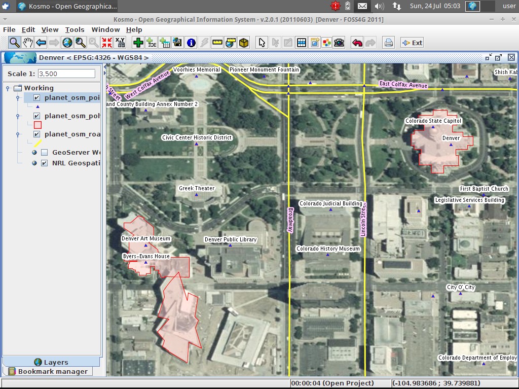
Kosmo - Desktop GIS
SAGA - Desktop GIS

Browser Facing GIS
General GIS viewing, editing and analysis in the browser
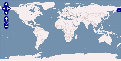
| OpenLayers |
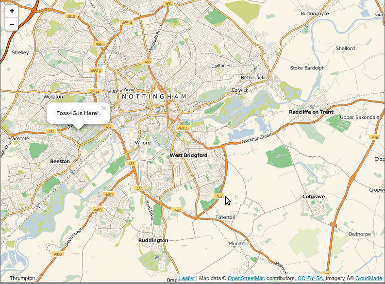
Leaflet |
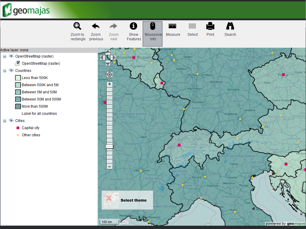
Geomajas |
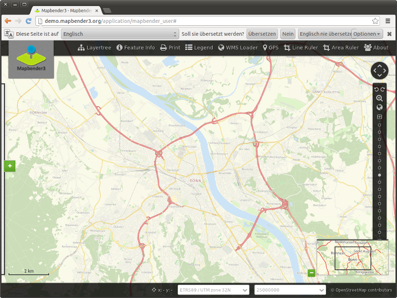
Mapbender |
| MapFish |
GeoMOOSE |
Cartaro |
GeoNode |
OpenLayers - Browser Mapping Library
Leaflet - Mobile Friendly Interactive Maps
Geomajas - Browser GIS Client
Mapbender - Geoportal Framework
MapFish - Browser Client
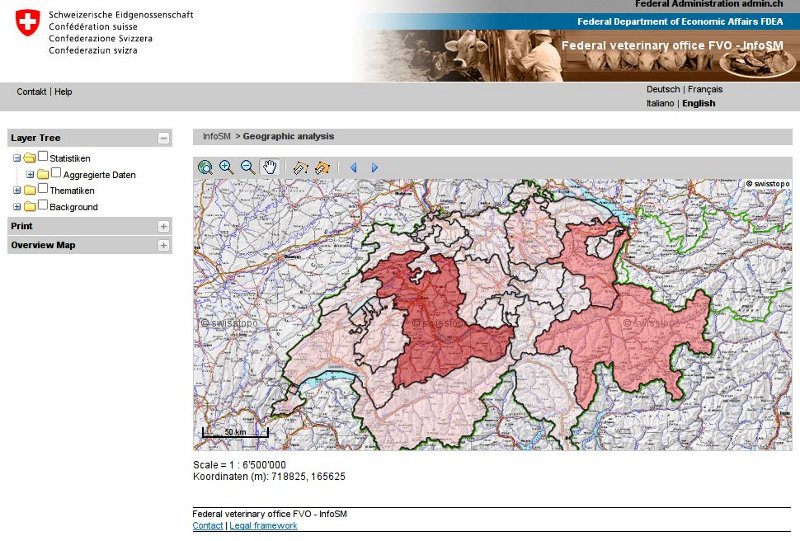
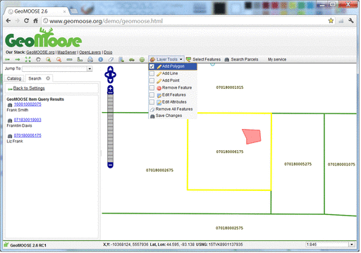
GeoMoose - Web GIS Portal
Cartaro - Geospatial CMS
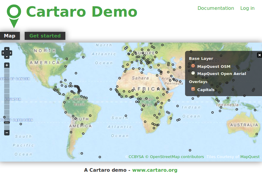
Cartaro provides geospatial functionality and web services within the Drupal Content Management System. With just a few clicks within Cartaro, you can set-up and run OGC standards based web services, as well as build maps into web pages.
GeoNode - Geospatial CMS
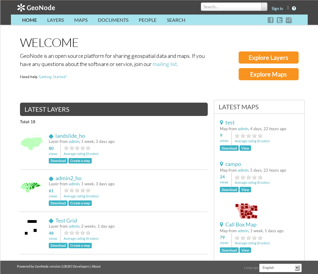
GeoNode is a Content Management System for geospatial data which provides creation, sharing, and collaborative use of geospatial data. Datasets can be uploaded, maps and metadata can be edited and published, and user ratings and comments can be captured.
Web Services
Publishing spatial data to the internet
| GeoServer |
MapServer |
deegree |
ncWMS |
| EOxServer |
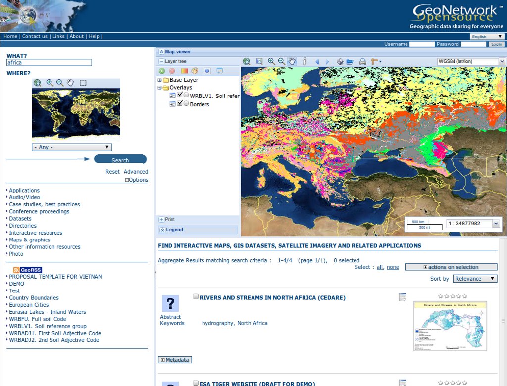
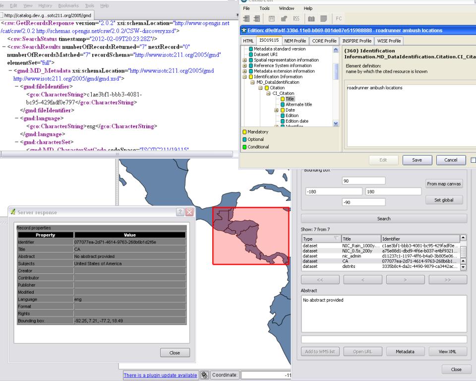
GeoNetwork |
pycsw |
MapProxy |
| QGIS Server |
52North WPS/SOS |
TinyOWS |
Zoo Project |
GeoServer - Web Services

MapServer - Web Services
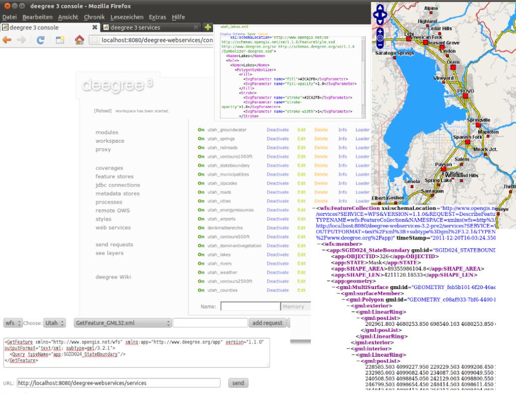
deegree - Web Services
ncWMS - Web Map Service
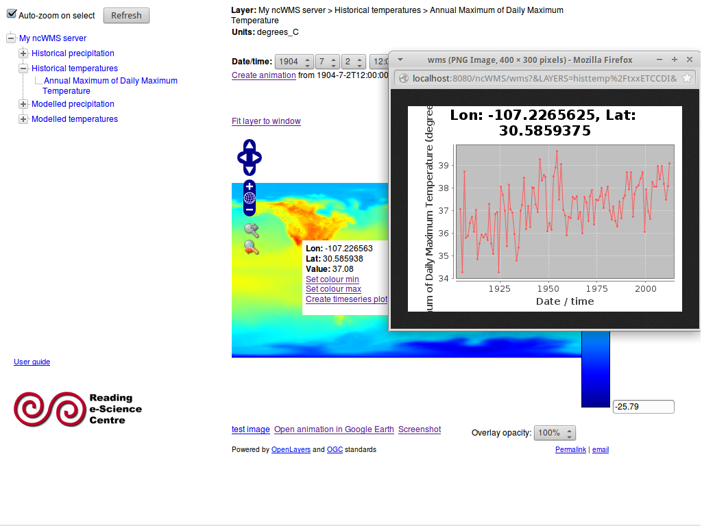
ncWMS publishes multi-dimensional data, such as environmental and weather data, as an OGC compliant Web Map Service.
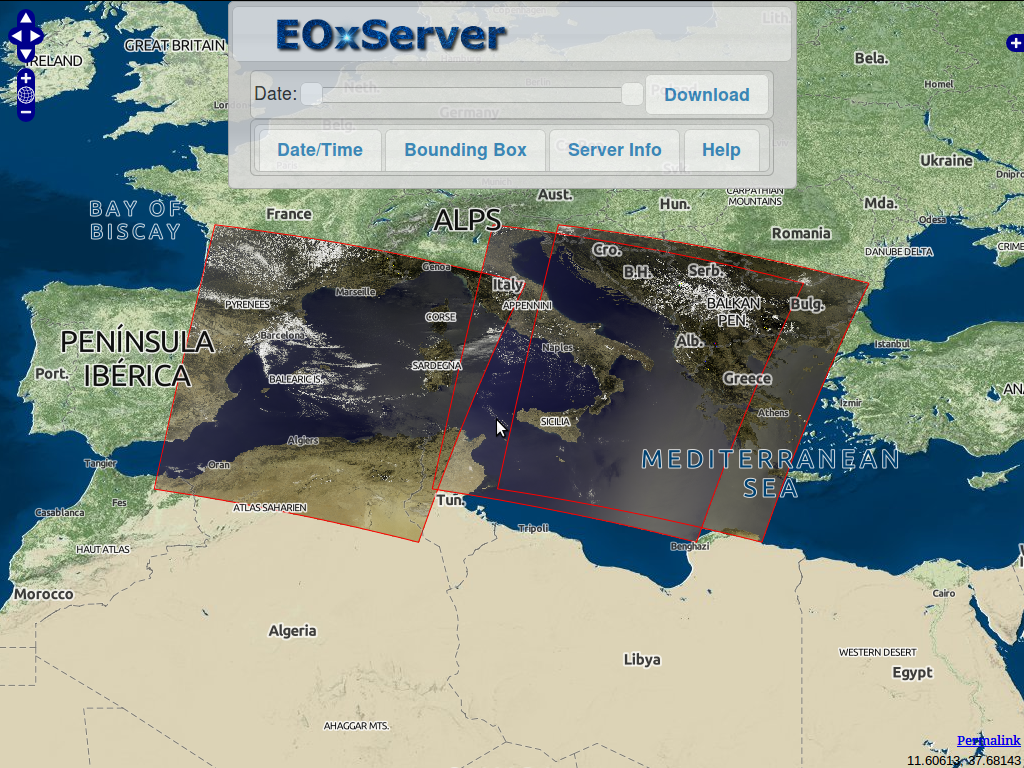
EOxServer - Web Coverage Service
GeoNetwork - Metadata Catalogue
pycsw - Metadata Catalogue
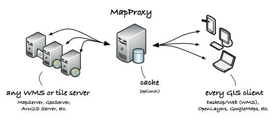
MapProxy - Proxy WMS & tile services
QGIS Server - Web Map Service
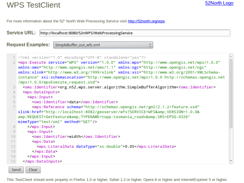
52°North WPS - Web Processing Service
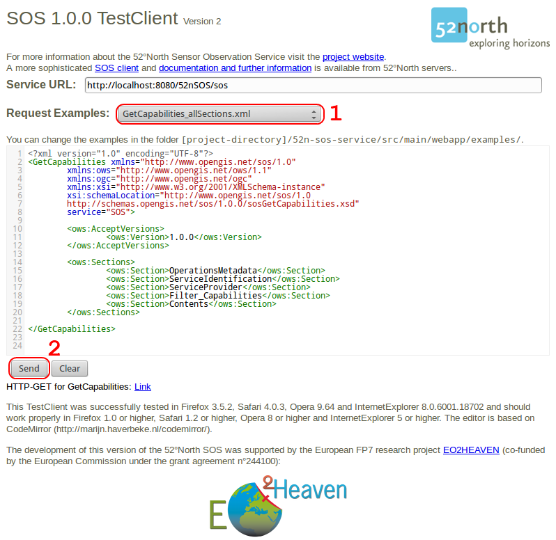
52°North SOS - Sensor Observation Service
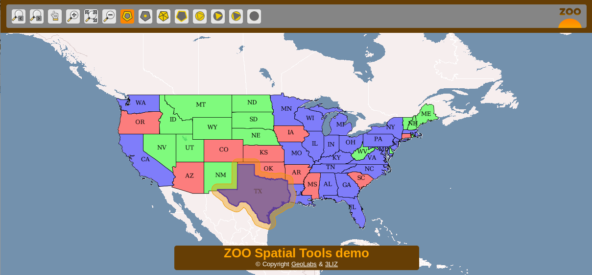
ZOO Project - Web Processing Service
Data Stores
Storing spatial data
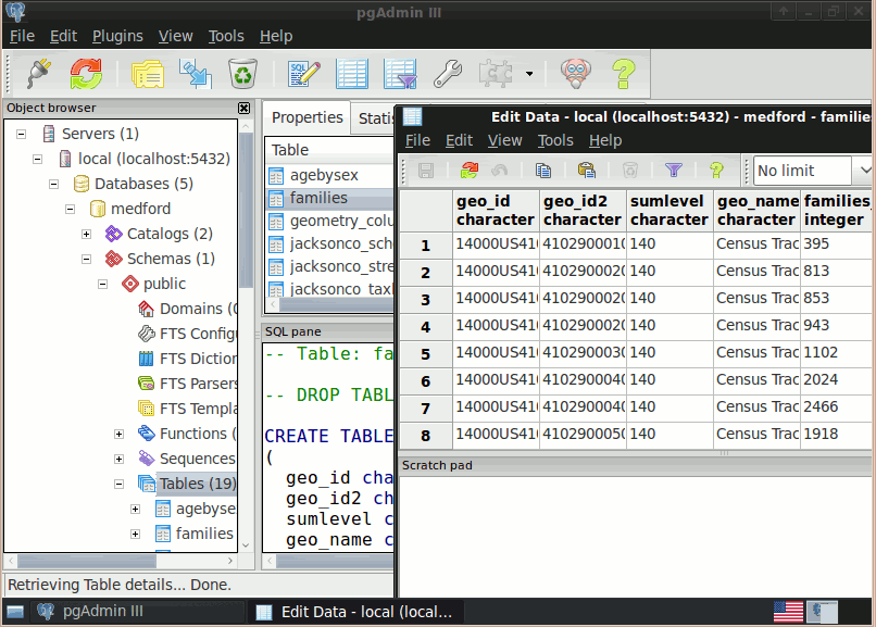
| PostGIS |
SpatialLite |
| rasdaman |
pgRouting |
PostGIS - Spatial Database
SpatiaLite - Lightweight Database
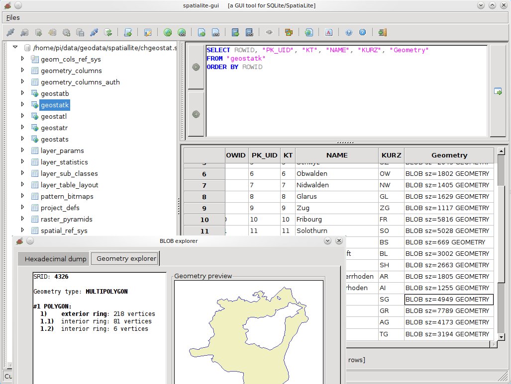
SpatiaLite adds spatial functionality to the popular SQLite database.
SQLite is a self-contained, zero-administration, relational database, which can pre-built into applications without needing a database server. Each SQLite data store is kept in one file, which can easily be copied between platforms and around the internet without complication.
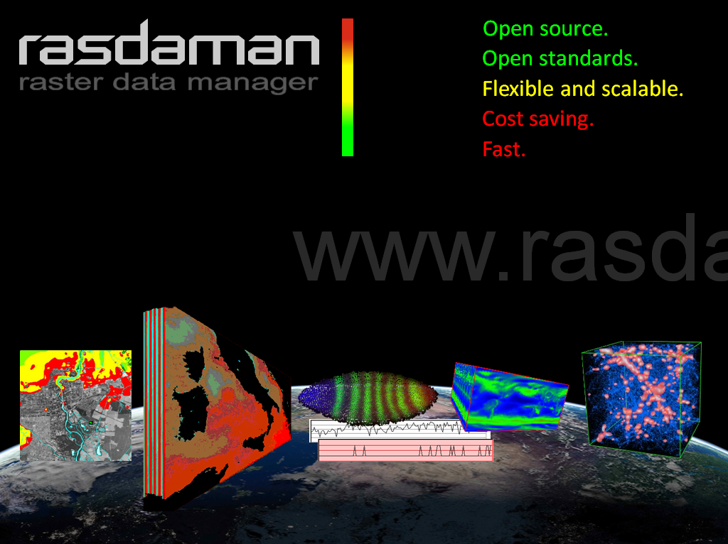
Rasdaman - Multi-Dimensional Raster Database
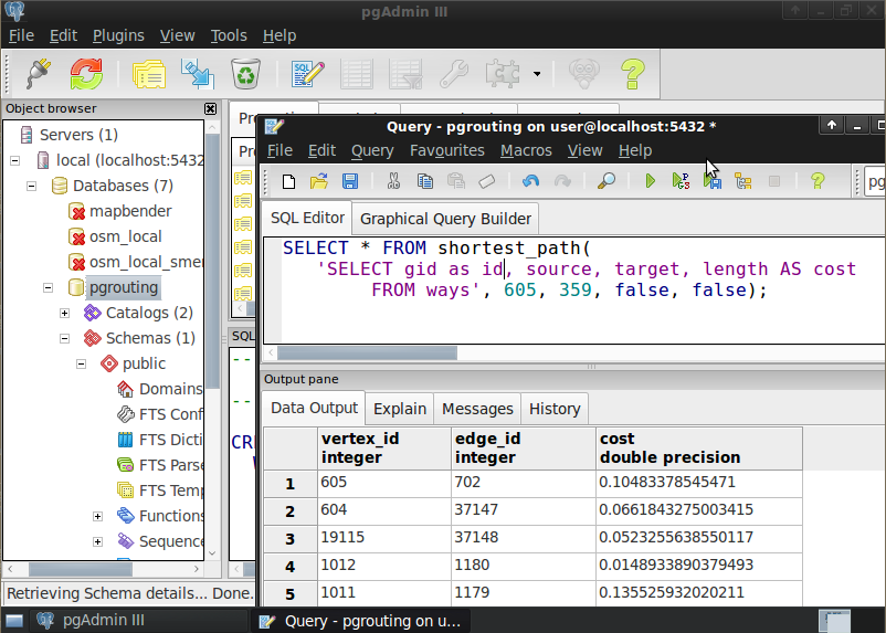
pgRouting - routing for PostGIS
Navigation and Maps
| GpsDrive |
Prune |
Marble |
| OpenCPN |
Open Street Map |
Viking |
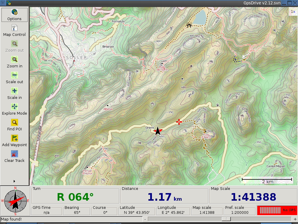
GpsDrive - GPS Navigation
Prune - View, Edit and Convert GPS Tracks

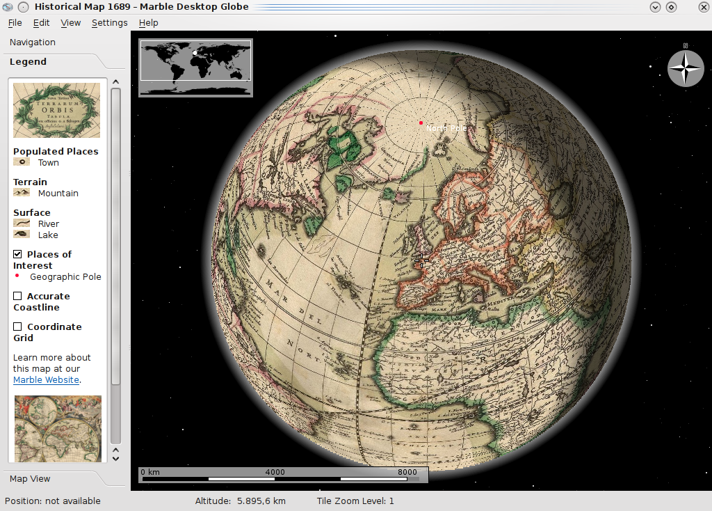
Marble - Virtual Globe
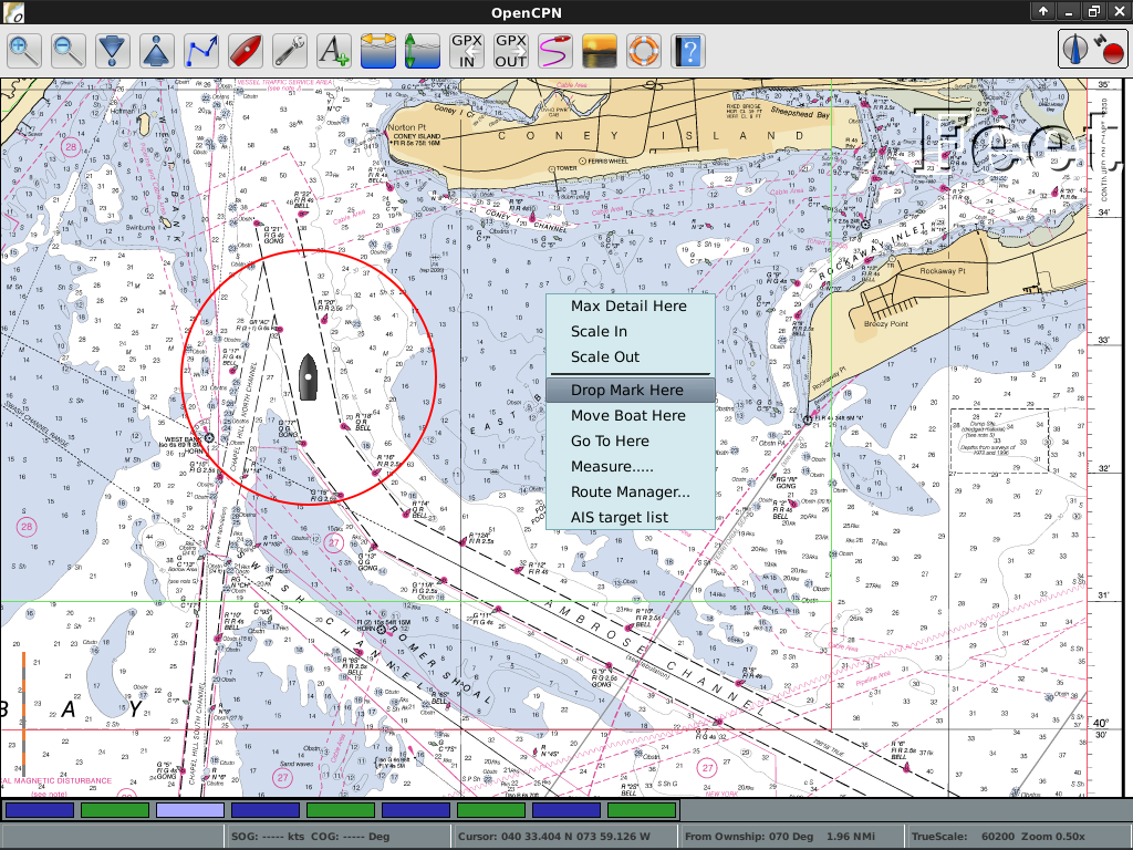
OpenCPN - Marine GPS Chartplotter
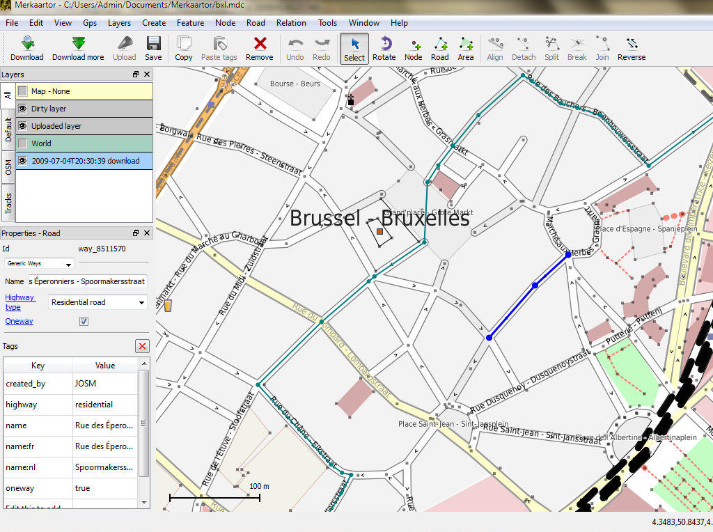
Open Street Map Tools
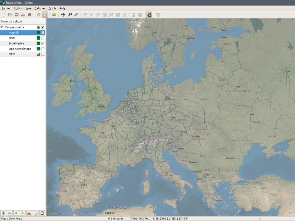
Viking - GPS Navigation
Spatial Tools
Specific analysis tools
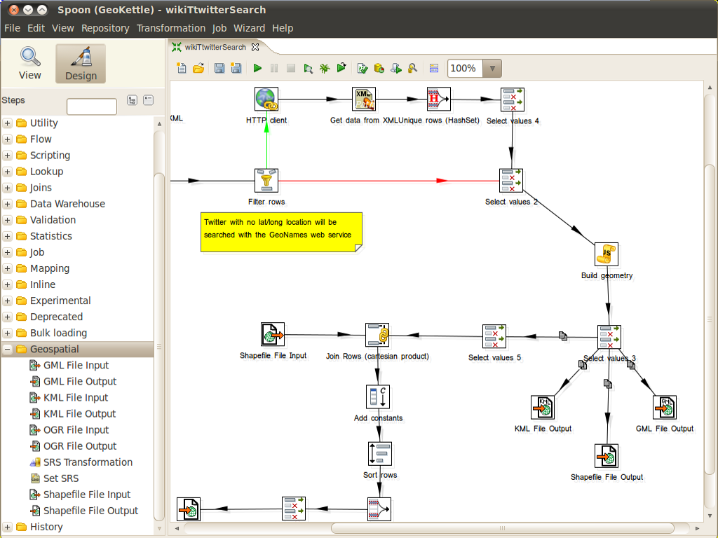
| GeoKettle |
GMT |
Mapnik |
TileMill |
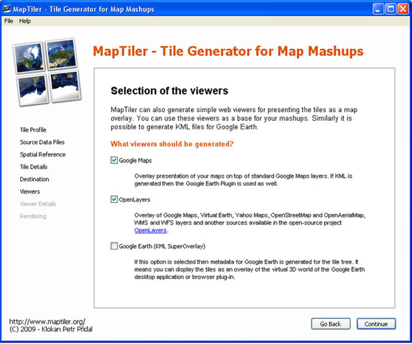
| Maptiler |
OSSIM |
ORFEO Toollbox |
R |
GeoKettle - Extract Transform Load (ETL)
GMT - Generic Mapping Tools
Mapnik - Cartographic Rendering

TileMill - Styling and Publishing

MapTiler - Create Map Tiles
OSSIM - Image Processing
Orfeo Toolbox: Image Processing
R - Statistical Programing

Domain Specific GIS
Applications targeted at a specific domain
| Sahana |
Ushahidi |
osgEarth |
| MB-System |
zyGrib |
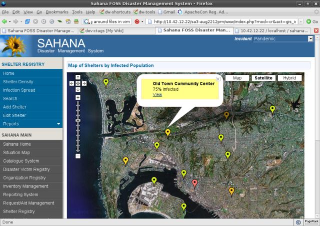
Sahana - Disaster Management
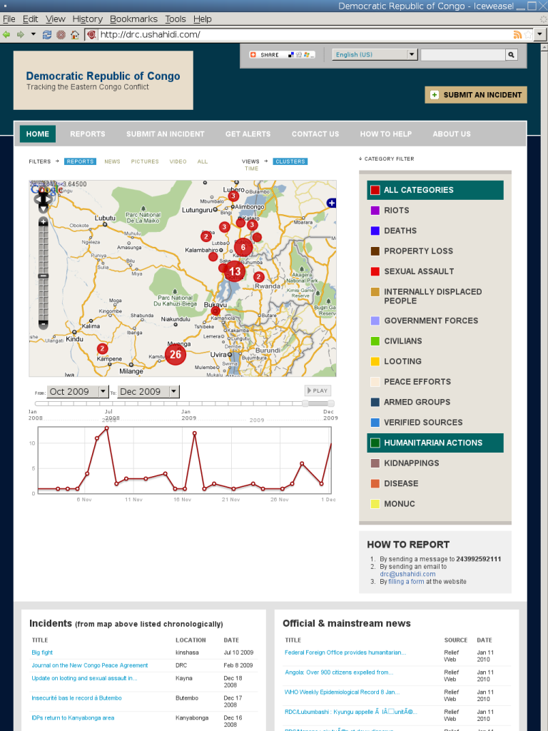
Ushahidi - Mapping and Timeline for events
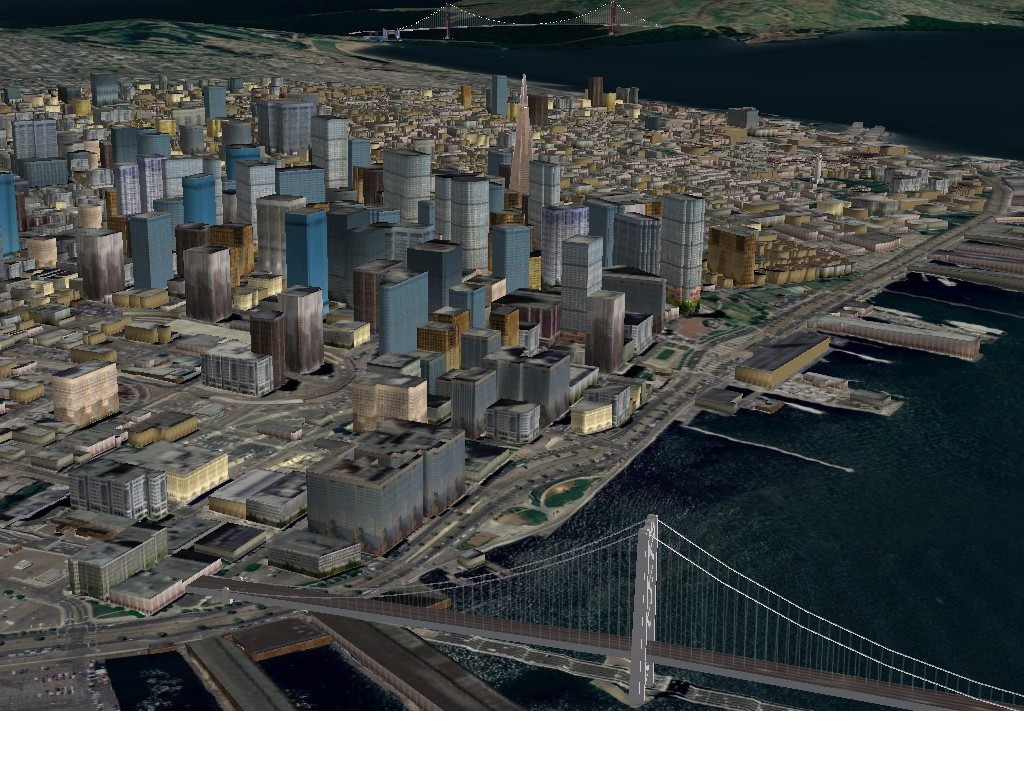
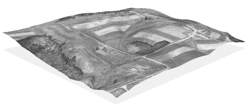
osgEarth - 3D Terrain Rendering
MB-System - Sea Floor Mapping
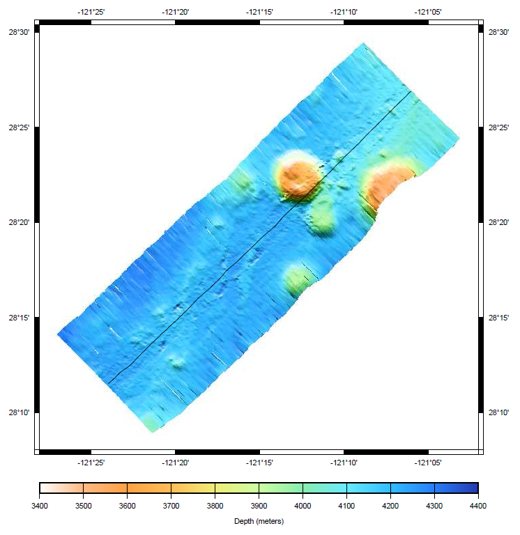
MB-System processes and displays bathymetry and backscatter imagery data derived from multibeam, interferometry, and sidescan sonars.
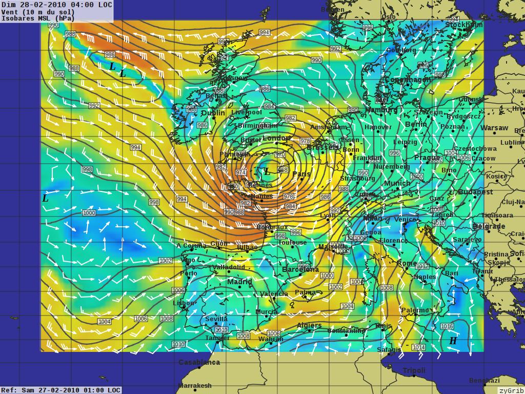
zyGrib - Weather Forecast Maps
Data
Spatial data sets
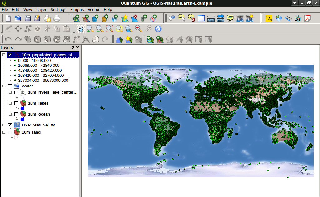
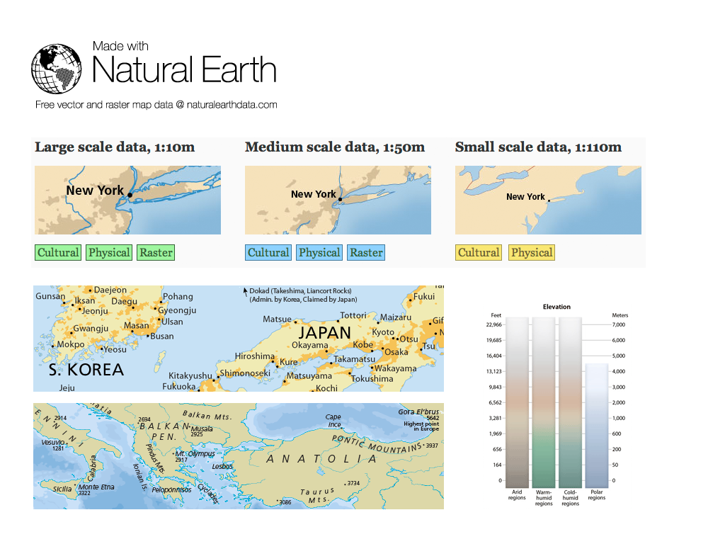
| Natural Earth |
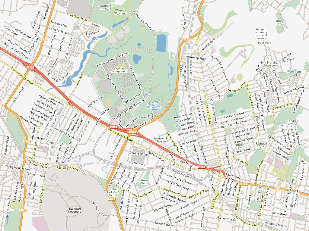
Open Street Map |
North Carolina |
|
netCDF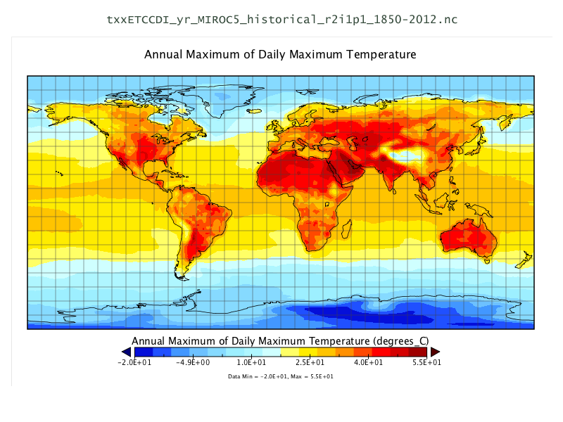 |
Natural Earth - Global Data Sets
North Carolina educational dataset
OSM - Sample extract from OpenStreetMap
NetCDF - Time series temperature and precipitation
Geospatial Libraries
| GDAL/OGR |
JTS |
GeoTools |
GEOS |
| MetaCRS Proj4 |
libLAS |
Iris |
GDAL/OGR - Geospatial Data Translation Tools
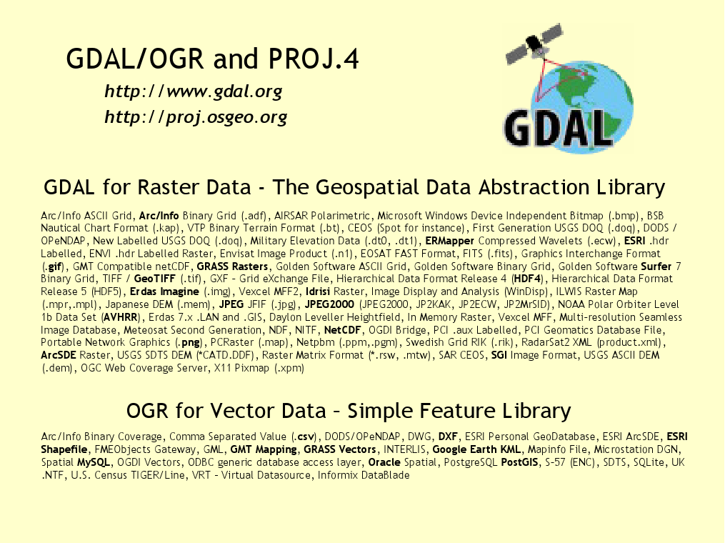
GDAL and OGR are best known as the vector and raster Geographic Data Abstraction Libraries used by many open source and proprietary applications. However, the functions are also accessible as command line utilities to translate and process a wide range of vector and raster geospatial data formats.
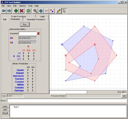
Java Topology Suite
GEOS - C/C++ Spatial Library
![]()
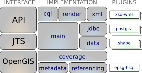
GeoTools
MetaCRS - Coordinate Reference System Transformations
![]()
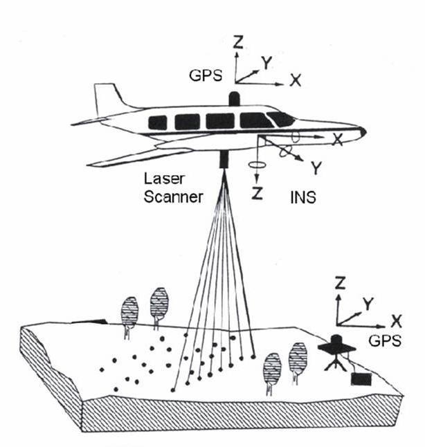
libLAS - LiDAR Data Access
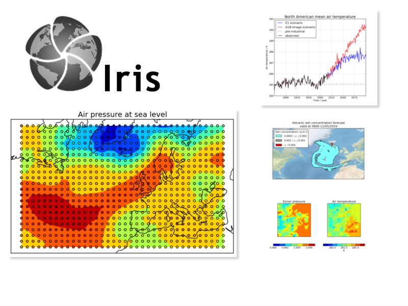
Iris - Meteorology and Climatology
Other applications
Installers only
| MapWindow |
MapGuide Open Source |
MapGuide - Web Services
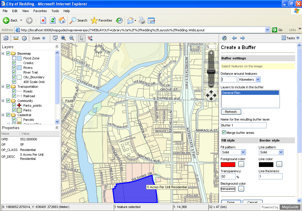
MapGuide Open Source is a web-based platform that enables users to develop and deploy web mapping applications and geospatial web services.
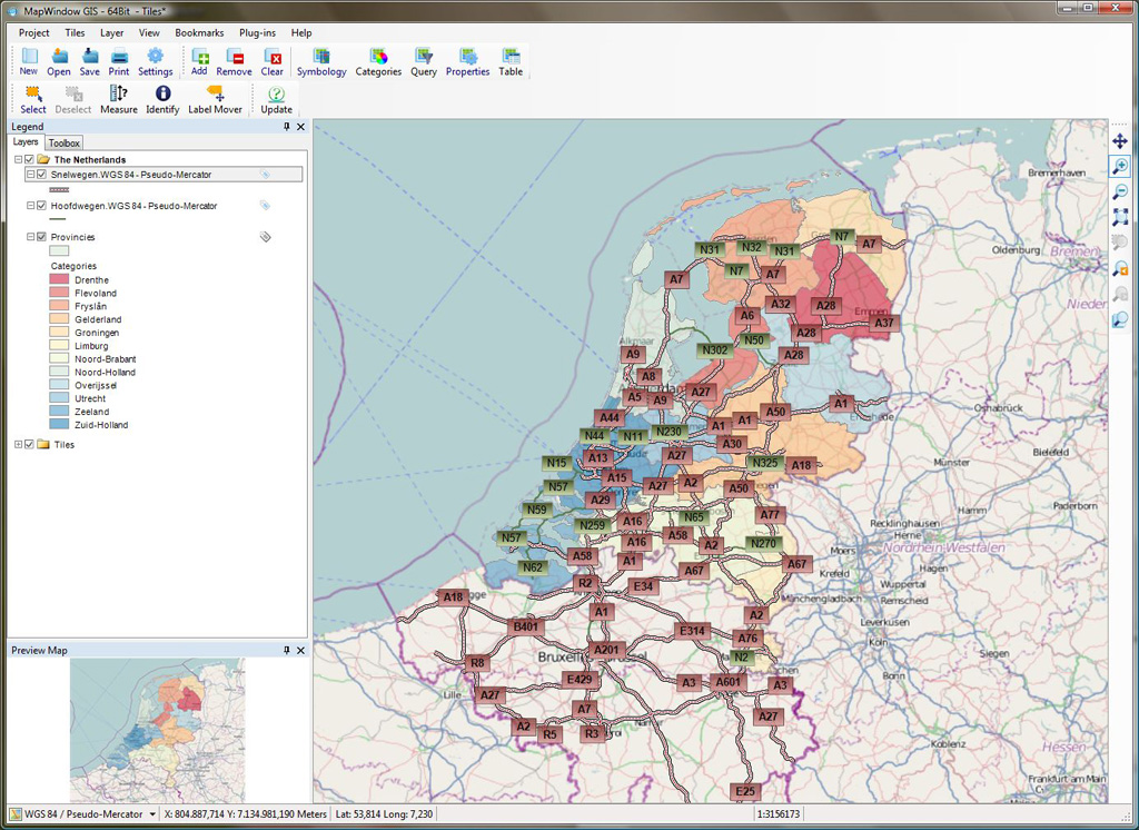
MapWindow - Microsoft Windows based Desktop GIS
Credits
Developers and Translators
| Activity Workshop | Agustín Díez | Aikaterini Kapsampeli | Alan Beccati | Alan Boudreault | Alessandro Furieri | Alex Mandel | Alexander Bruy |
| Alexander Kleshnin | Alexander Muriy | Alexandre Dube | Alexey Ardyakov | Amy Gao | Andrea Antonello | Andrea Yanza | Andrey Syrokomskiy |
| Andry Rustanto | Angelos Tzotsos | Anna Muñoz | Anton Novichikhin | Anton Patrushev | Antonio Falciano | Argyros Argyridis | Ariel Núñez |
| Assumpció Termens | Astrid Emde | Barry Rowlingson | Benjamin Pross | Brian Hamlin | Bruno Binet | Bu Kun | Cameron Shorter |
| Christophe Tufféry | Christos Iossifidis | Cristhian Pin | Damian Wojsław | Dane Springmeyer | Daniel Kastl | Daria Svidzinska | David Mateos |
| Denis Rykov | Diego González | Diego Migliavacca | Dimitar Misev | Dmitry Baryshnikov | Dominik Helle | Edgar Soldin | Eike Hinderk Jürrens |
| Elena Mezzini | Eric Lemoine | Erika Pillu | Estela Llorente | Etienne Delay | Etienne Dube | Evgeny Nikulin | Fran Boon |
| Frank Gasdorf | Frank Warmerdam | François Prunayre | Friedjoff Trautwein | Gavin Treadgold | Giuseppe Calamita | Grald Fenoy | Grigory Rozhentsov |
| Guy Griffiths | Hamish Bowman | Haruyuki Seki | Henry Addo | Hernan Olivera | Howard Butler | Hyeyeong Choe | Ian Edwards |
| Ian Turton | Ilya Filippov | Jackie Ng | Jan Drewnak | Jane Lewis | Javier Rodrigo | Javier Sánchez | Jesús Gómez |
| Jim Klassen | Jing Wang | Jinsongdi Yu | Jody Garnett | Johan Van de Wauw | John Bryant | Jorge Arévalo | Jorge Sanz |
| José Antonio Canalejo | José Vicente Higón | Judit Mays | Klokan Petr Pridal | Kristof Lange | Lance McKee | Lars Lingner | Luca Delucchi |
| Lucía Sanjaime | M Iqnaul Haq Siregar | Mage Whopper | Manuel Grizonnet | Marc-André Barbeau | Marc Torres | Marco Curreli | Marco Puppin |
| Margherita Di Leo | Maria Vakalopoulou | Mario Andino | Mark Leslie | Massimo Di Stefano | Matthias Streulens | Mauricio Miranda | Mauricio Pazos |
| Maxim Dubinin | Micha Silver | Michael Owonibi | Michaël Michaud | Mike Adair | Milena Nowotarska | Nacho Varela | Nadiia Gorash |
| Nathaniel V. Kelso | Ned Horning | Nobusuke Iwasaki | Oliver Tonnhofer | Otto Dassau | Pasquale Di Donato | Patric Hafner | Paul Meems |
| Pavel | Pedro-Juan Ferrer | Pirmin Kalberer | Raf Roset | Regina Obe | Ricardo Pinho | Roald de Wit | Roberta Fagandini |
| Roberto Antolin | Roberto Antolín | Roger Veciana | Ruth Schoenbuchner | Samuel Mesa | Scott Penrose | Sergey Grachev | Sergio Baños |
| Simon Cropper | Simon Pigot | Stefan A. Tzeggai | Stefan Hansen | Stefan Steiniger | Stephan Meissl | Steve Lime | Takayuki Nuimura |
| Thierry Badard | Thomas Baschetti | Thomas Gratier | Tom Kralidis | Toshikazu Seto | Trevor Wekel | Valenty González | Vera |
| Xianfeng Song | Yoichi Kayama | Zhengfan Lin | kuzkok | Òscar Fonts |
Core team: Angelos Tzotsos, Cameron Shorter, Hamish Bowman, Alex Mandel and Brian Hamlin.
Sponsors
| OSGeo |
LISAsoft |
UCD ICE |
| NTUA |
DebianGIS |
OSDM |