
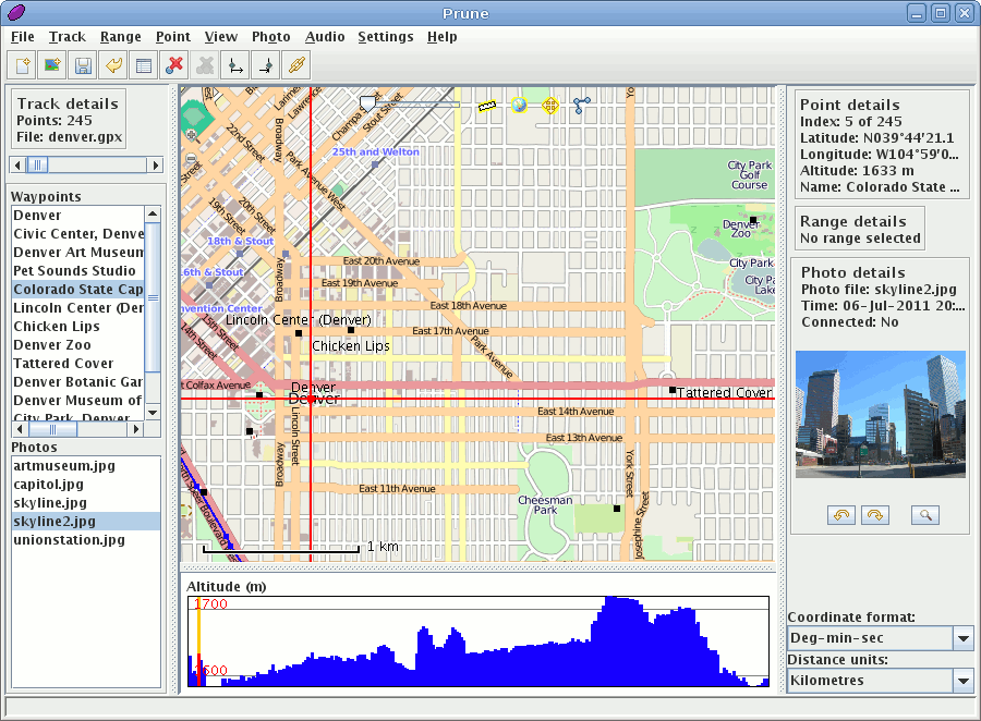
GpsPrune is a tool for viewing, editing and converting coordinate data from GPS systems. It can be used for planning trips in advance, or for analysing the tracks recorded by GPS receivers.
It uses OpenStreetMap imagery to show recorded tracks and waypoints, and provides a variety of tools to let you edit, crop and prune the data points. It also has functions for correlating photos and audio files to the coordinates using the file timestamps.
GpsPrune uses Gpsbabel, if available, to read data directly from a GPS receiver, and can send the edited data back to the receiver too.
GpsPrune runs on Mac OSX, Windows and Linux, and is available in over ten different languages.
Website: http://gpsprune.activityworkshop.net/
Licence: GNU General Public License (GPL) version 2
Software Version: 15.1
Supported Platforms: GNU/Linux, Mac OSX, Windows