OSGeoLive
An Open Source Geospatial GNU/Linux Distribution

Press "s" for slide notes, ESC to zoom out, SPACE / arrow keys to navigate.
What is OSGeoLive?
- 50+ Open Source Geospatial Applications
- Sample Datasets
- Consistent Overviews & Quickstarts
- Translations
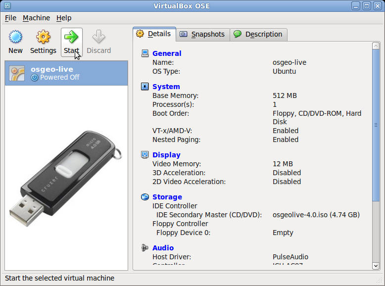
DVD / USB / Virtual Machine
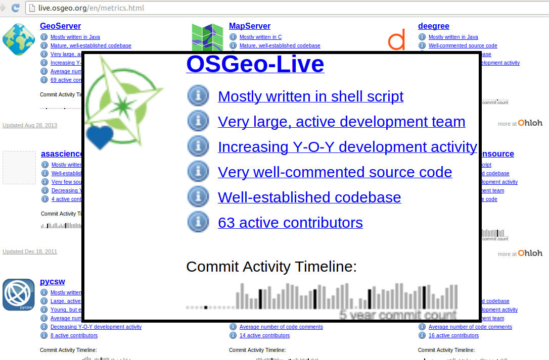
Quality Criteria
- Established, stable, working software
- Active community
- http://live.osgeo.org/en/metrics.html
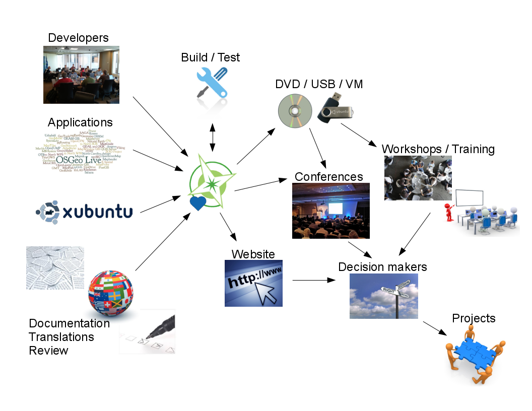
Production & Marketing Pipeline
New in 9.0?
- Code moved to git
- 64bit version available
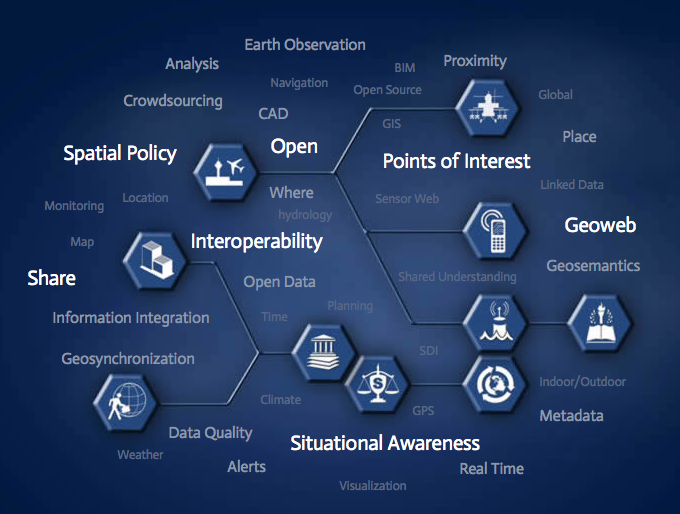
Open Source Geospatial
Foundation (OSGeo)
Since 2006 A Non Profit Umbrella for:
- GeoSpatial Free and Open Source Software
- Education
- Open Data


OGC Standards
- Interoperability
- Future Proof
- Return on Investment
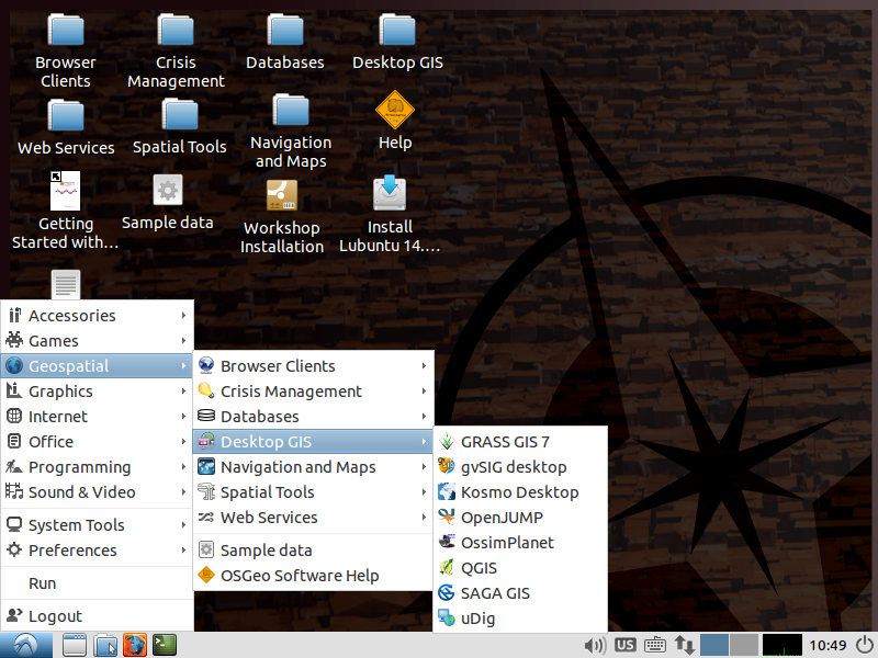
Desktop GIS
General GIS viewing, editing, and analysis on the desktop
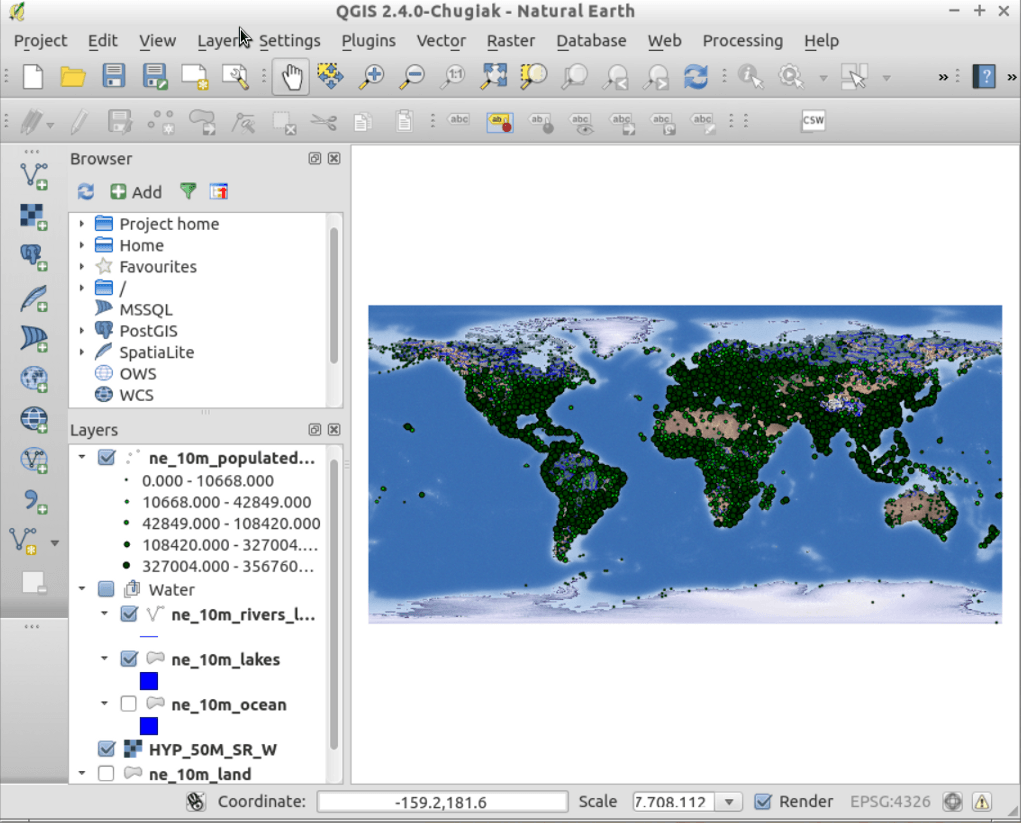
| QGIS |
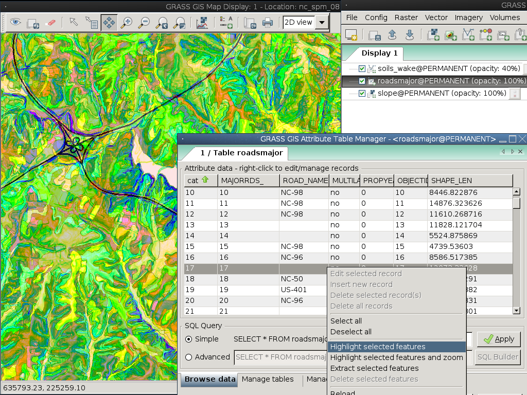
GRASS GIS |
gvSIG |
uDig |
| Kosmo |
OpenJUMP |
SAGA |
QGIS - Desktop GIS
GRASS GIS
gvSIG - Desktop GIS
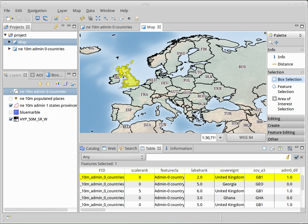
uDig: User-friendly Desktop Internet GIS
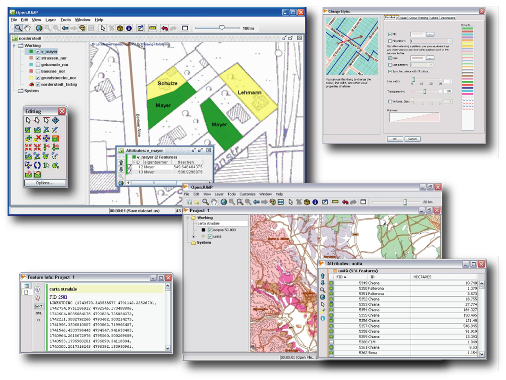
OpenJUMP GIS
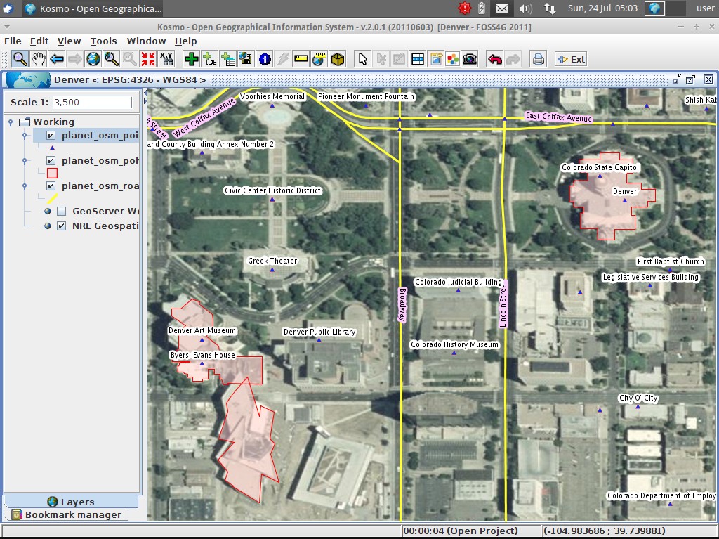
Kosmo - Desktop GIS
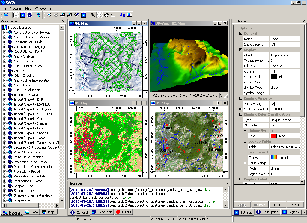
SAGA - Desktop GIS
Browser Facing GIS
General GIS viewing, editing and analysis in the browser
| OpenLayers |
Leaflet |
Cesium |
Geomajas |
| Mapbender |
GeoMOOSE |
Cartaro |
GeoNode |
OpenLayers - Browser Mapping Library
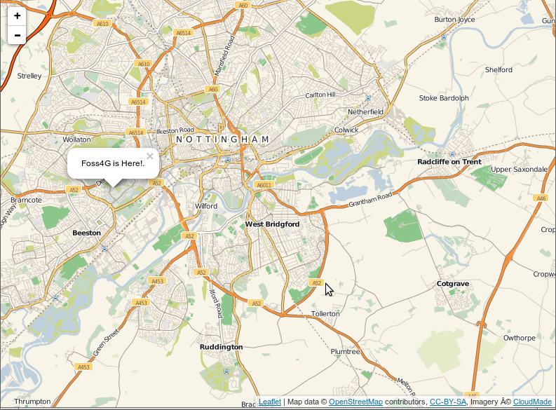
Leaflet - Mobile Friendly
Interactive Maps
Cesium - 3D globes and 2D maps in a browser
Geomajas - Browser GIS Client
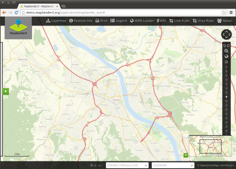
Mapbender - Geoportal
Framework
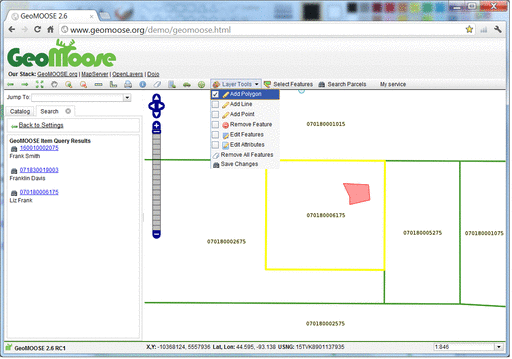
GeoMoose - Web GIS Portal
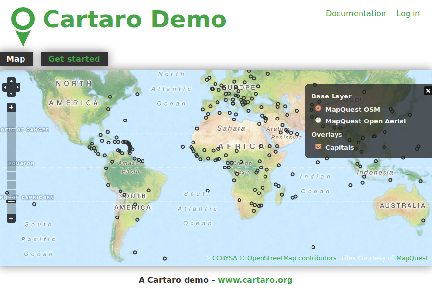
Cartaro - Geospatial CMS
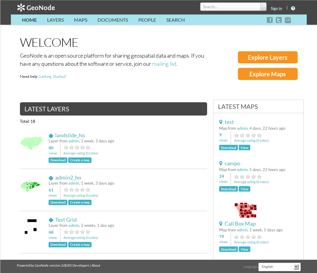
GeoNode - Geospatial CMS
Web Services
Publishing spatial data to the internet
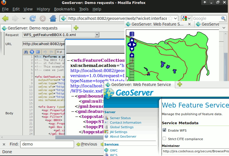
| GeoServer |
MapServer |
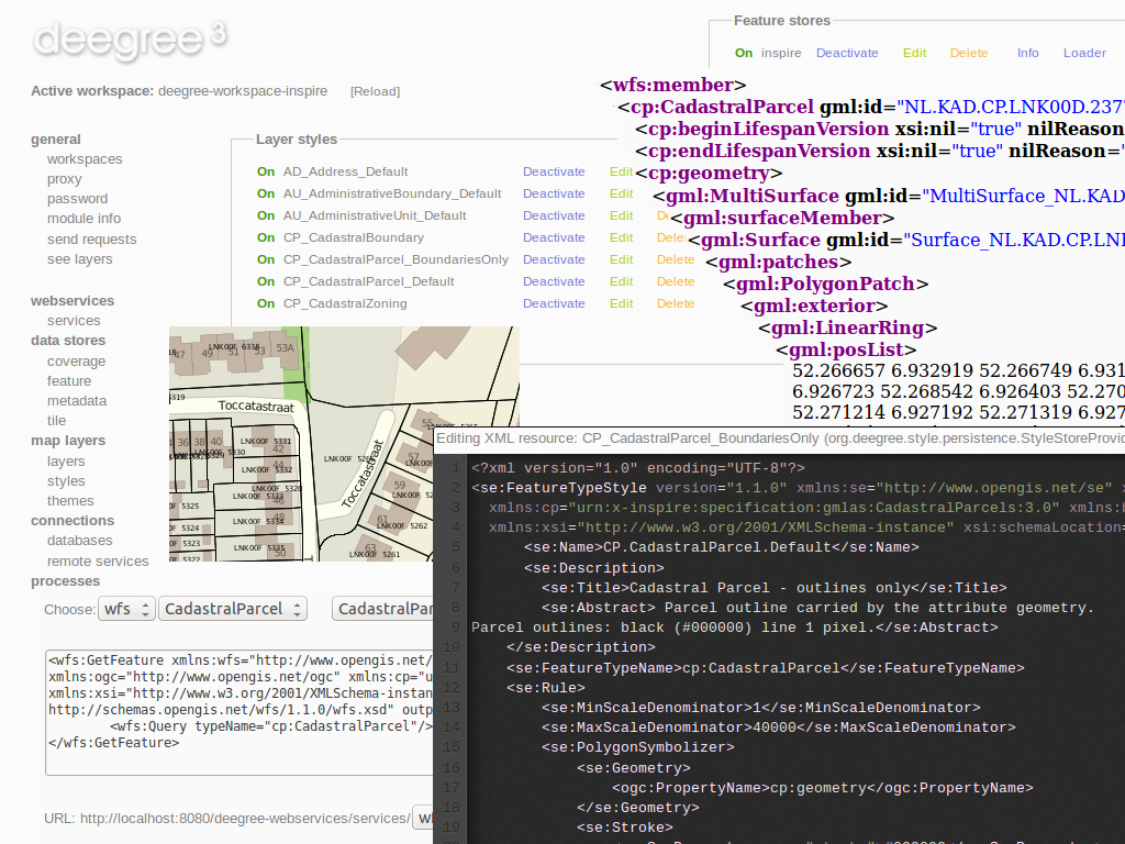
deegree |
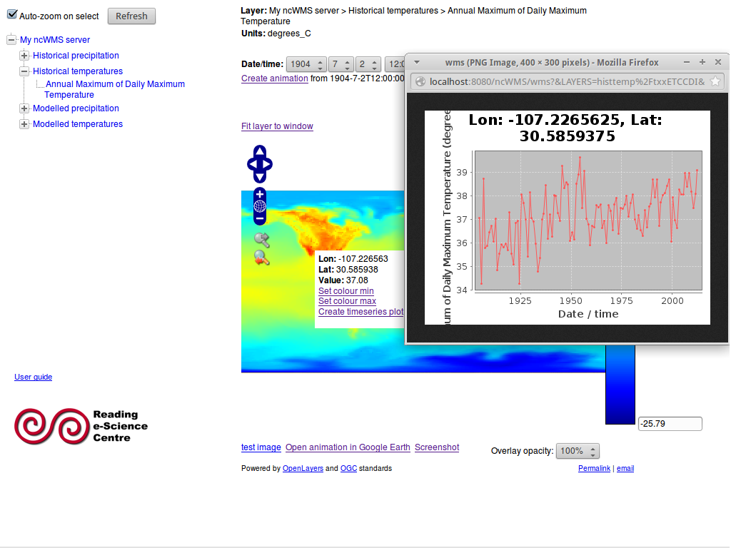
ncWMS |
| EOxServer |
GeoNetwork |
pycsw |
MapProxy |
| QGIS Server |
52North WPS/SOS |
TinyOWS |
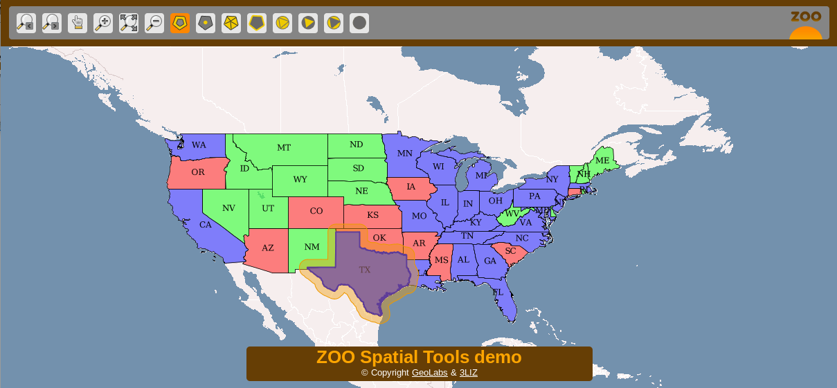
Zoo Project |
GeoServer - Web Services
MapServer - Web Services
deegree - Web Services
ncWMS - Web Map Service
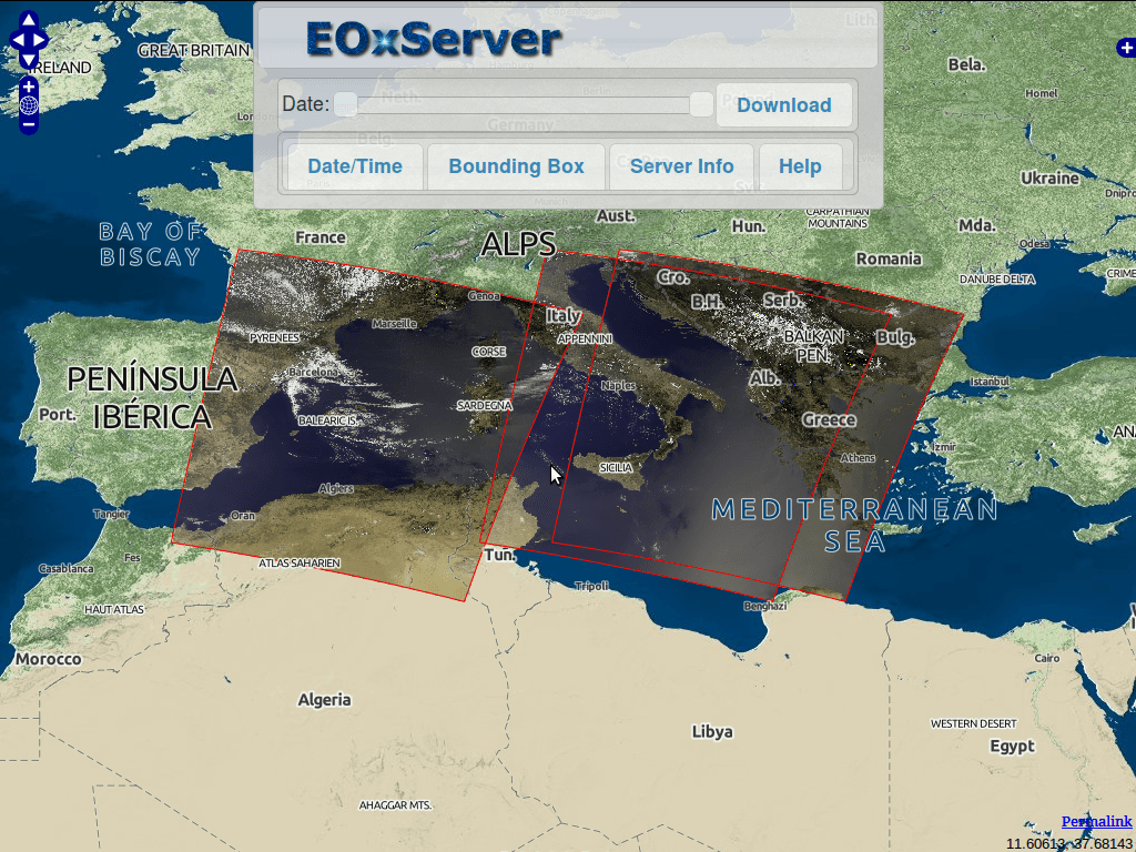
EOxServer - Web Coverage Service
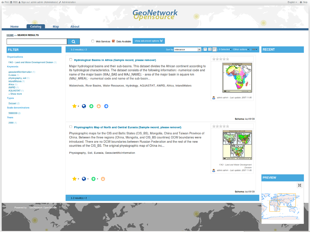
GeoNetwork - Metadata
Catalogue
pycsw - Metadata Catalogue

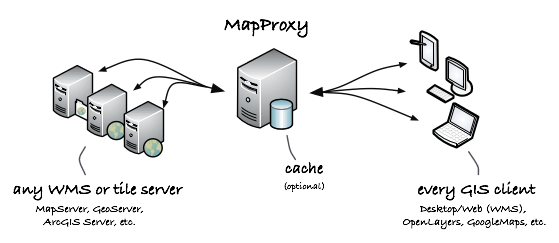
MapProxy - Proxy WMS & tile services
QGIS Server - Web Map Service
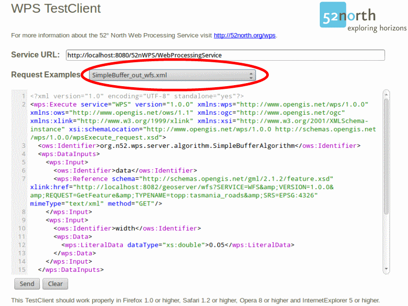
52°North WPS - Web
Processing Service
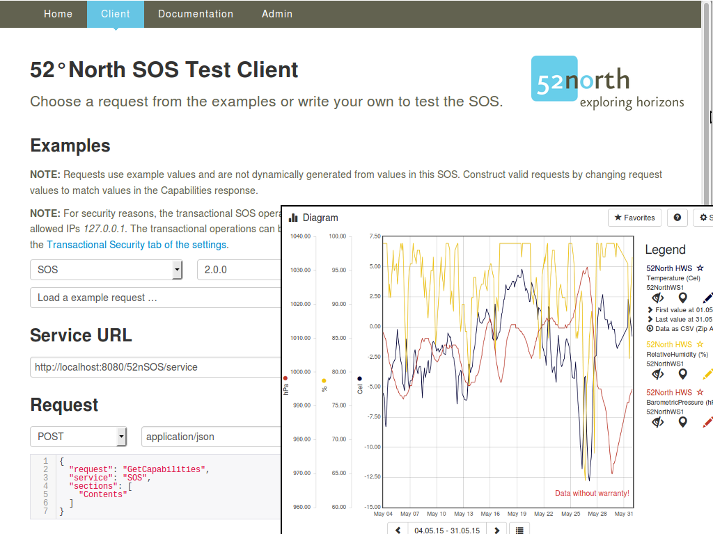
52°North SOS - Sensor
Observation Service
ZOO Project - Web Processing Service
Data Stores
Storing spatial data
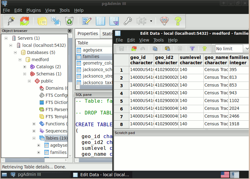
| PostGIS |
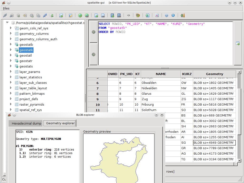
SpatialLite |
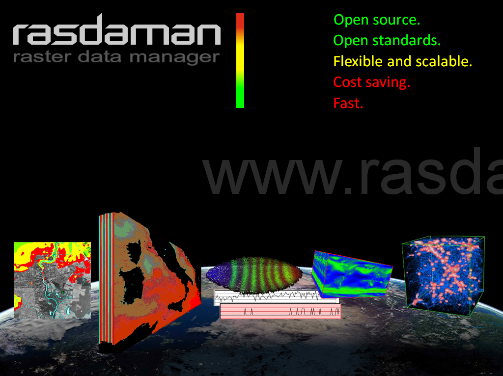
| rasdaman |
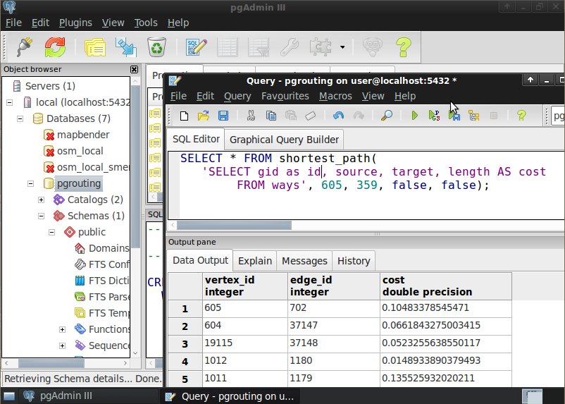
pgRouting |
PostGIS - Spatial Database
SpatiaLite - Lightweight Database
Rasdaman - Multi-Dimensional Raster Database
pgRouting - routing for PostGIS
Navigation and Maps
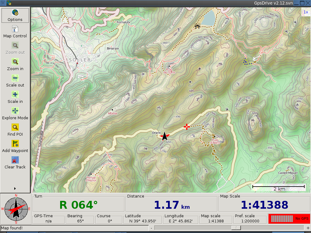
| GpsDrive |
GpsPrune |
Marble |
| OpenCPN |
Open Street Map |
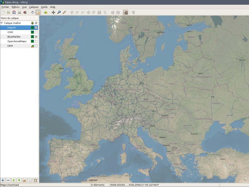
Viking |
GpsDrive - GPS Navigation
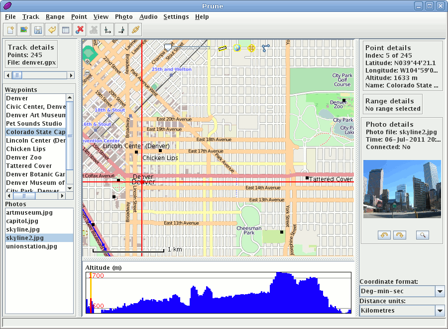
GpsPrune - View, Edit and
Convert GPS Tracks
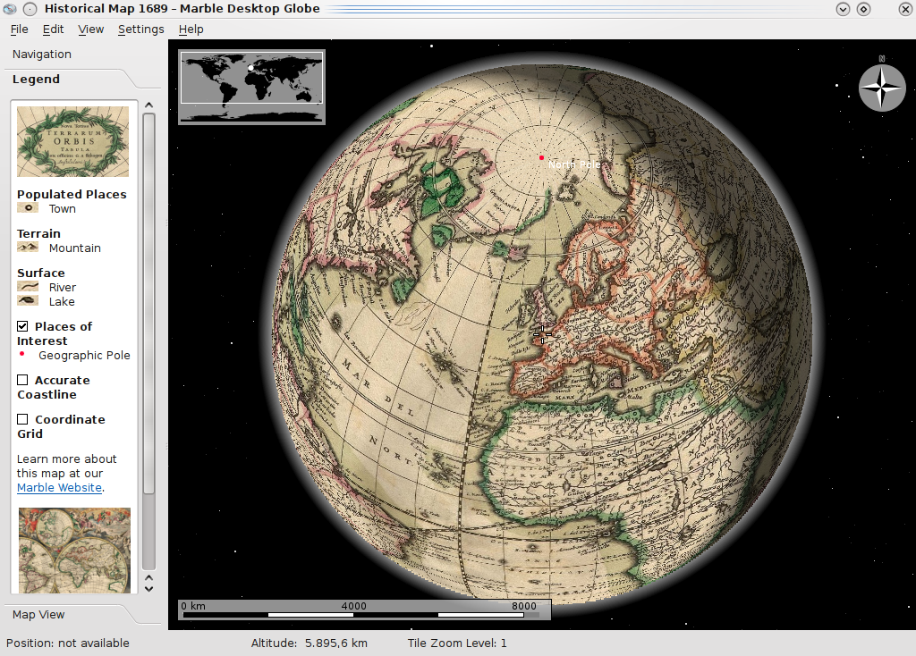
Marble - Virtual Globe
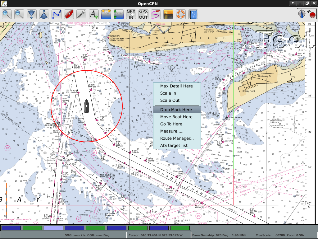
OpenCPN - Marine GPS
Chartplotter
Open Street Map Tools
Viking - GPS Navigation
Spatial Tools
Specific analysis tools
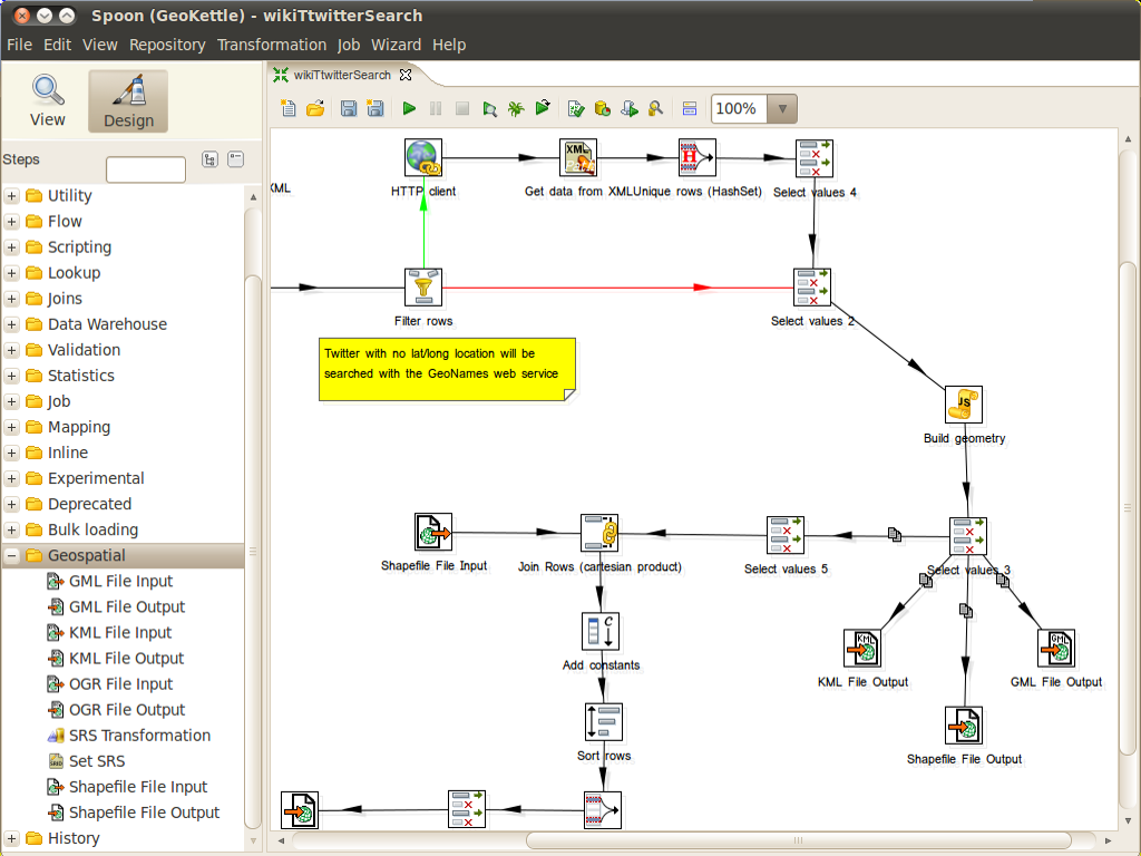
| GeoKettle |
GMT |
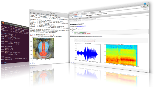
IPython Notebook |
| Mapnik |
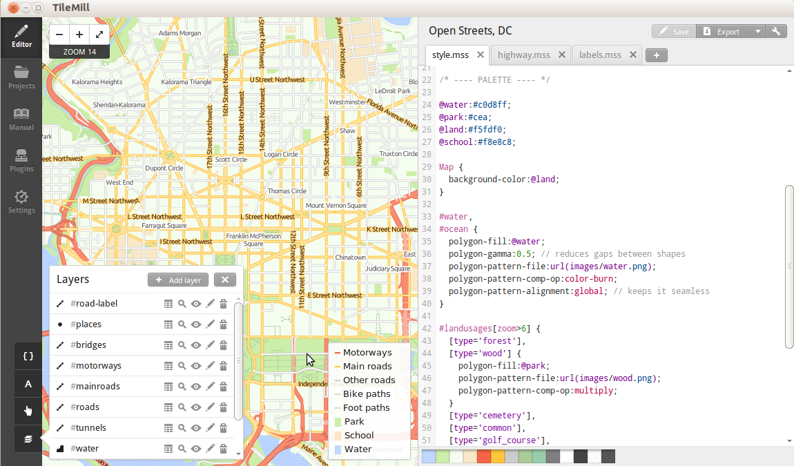
TileMill |
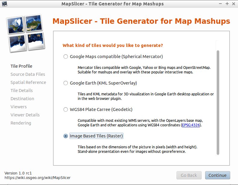
MapSlicer |
| OSSIM |
ORFEO Toollbox |
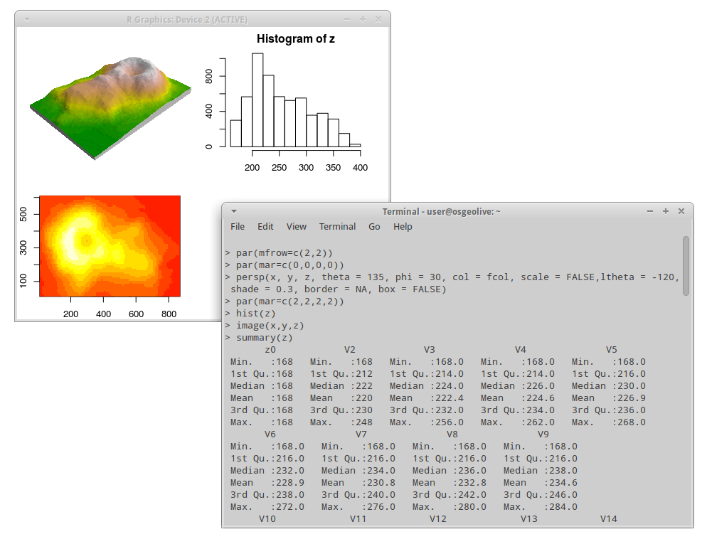
R |
GeoKettle - Extract Transform Load (ETL)
IPython Notebook - Mixing rich media in presentations
GMT - Generic Mapping Tools
Mapnik - Cartographic
Rendering
TileMill - Styling and Publishing
MapSlicer - Create Map Tiles
OSSIM - Image Processing
Orfeo Toolbox: Image
Processing

R - Statistical Programing
Domain Specific GIS
Applications targeted at a specific domain
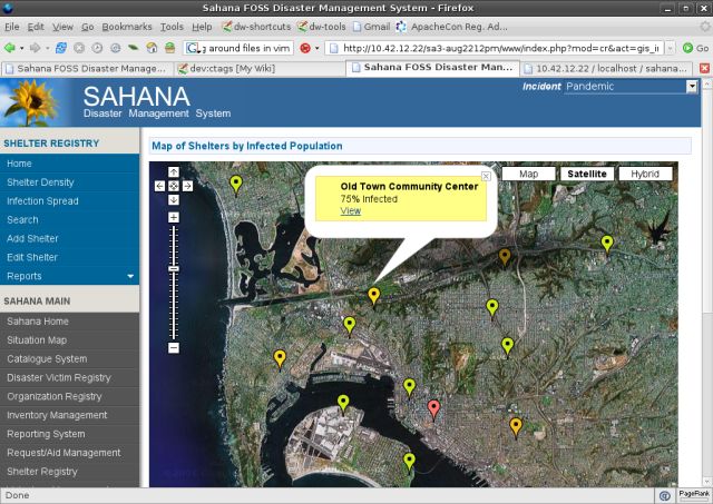
| Sahana |
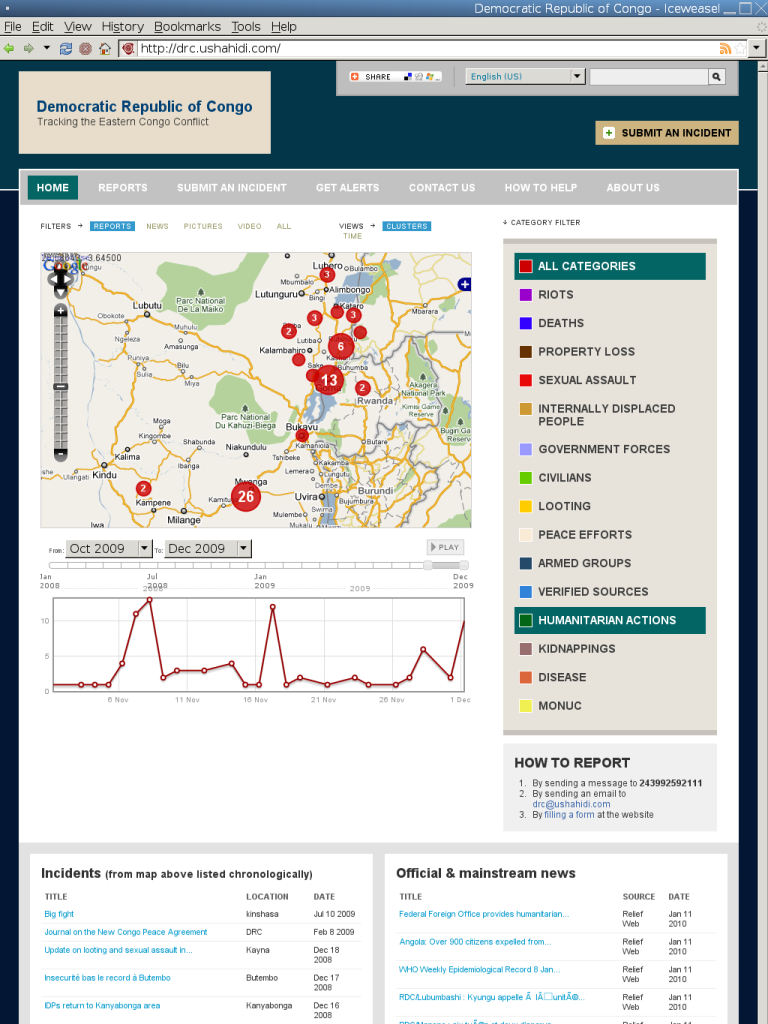
Ushahidi |
osgEarth |
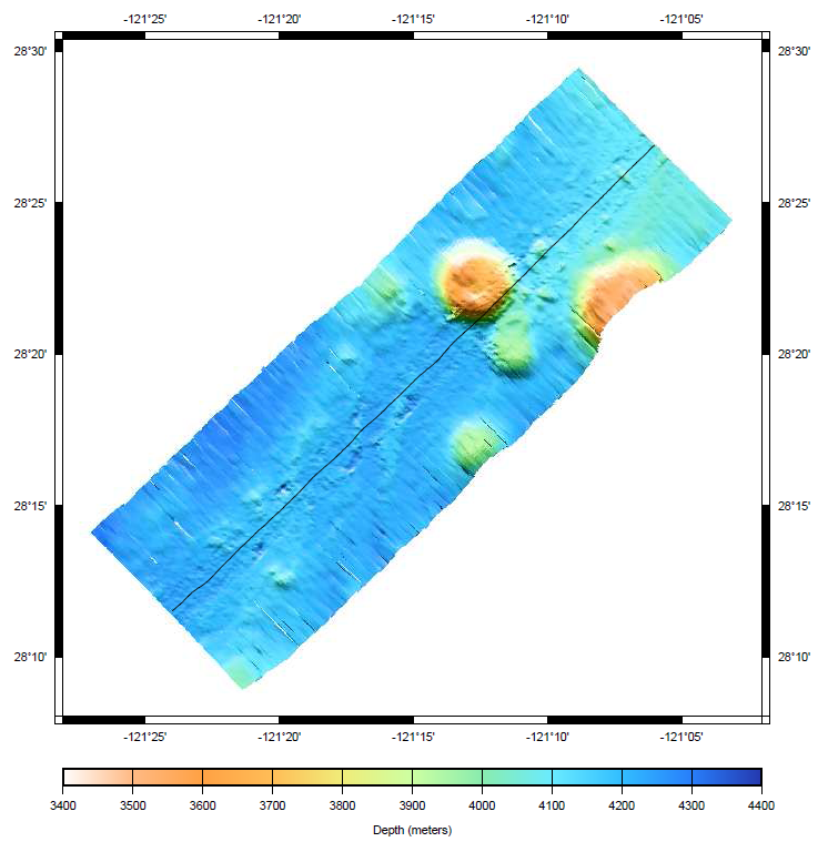
| MB-System |
zyGrib |
Sahana - Disaster Management
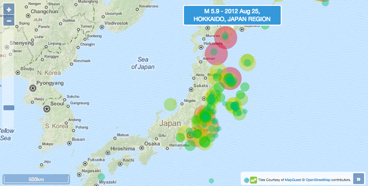
Ushahidi - Mapping and
Timeline for events
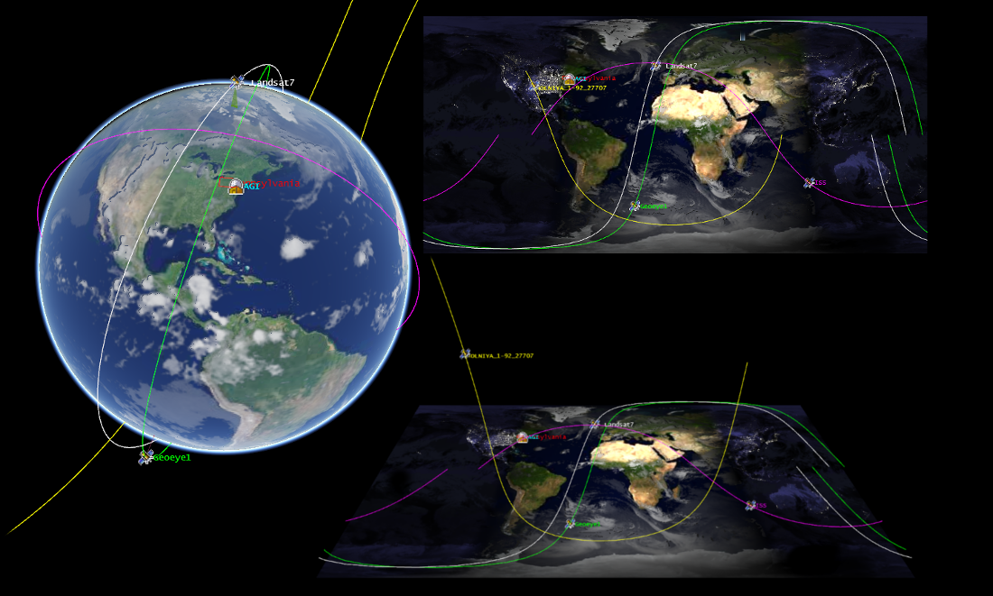
osgEarth - 3D Terrain
Rendering

MB-System - Sea Floor
Mapping
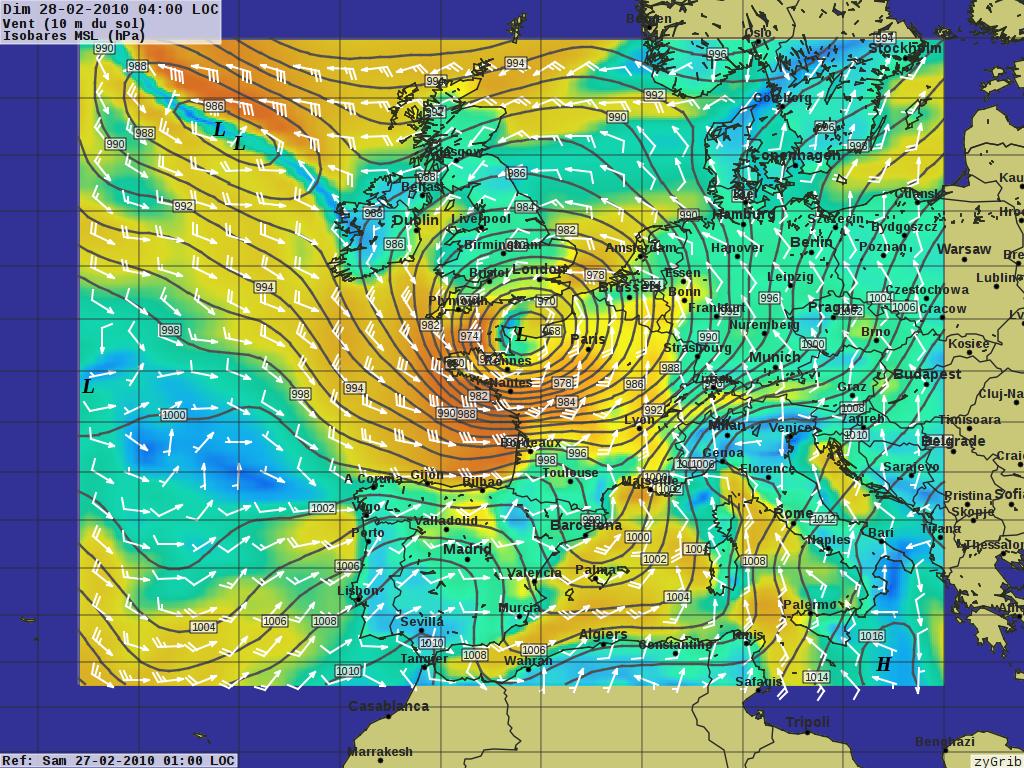
zyGrib - Weather Forecast Maps
Data
Spatial data sets
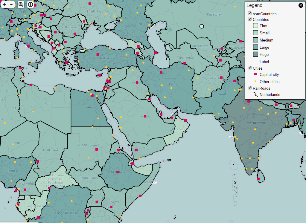
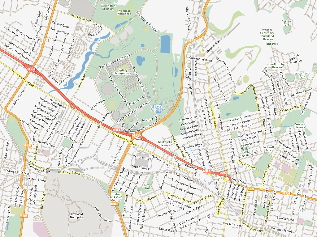
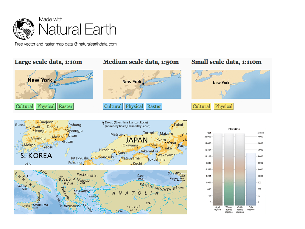
| Natural Earth |
Open Street Map |
| North Carolina |
netCDF |
Natural Earth - Global Data Sets
North Carolina educational dataset
OSM - Sample extract from OpenStreetMap
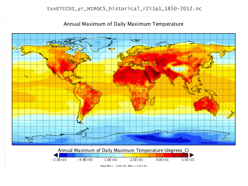
NetCDF - Time series
temperature and precipitation
Geospatial Libraries
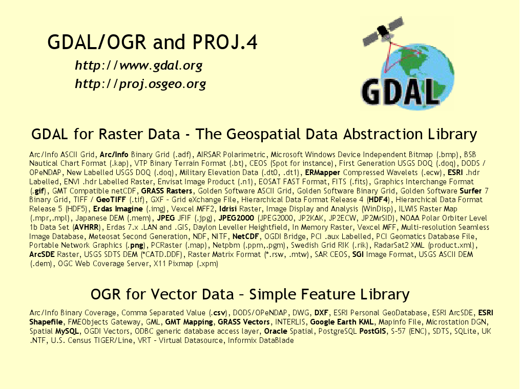
| GDAL/OGR |
GeoTools |
GEOS |
MetaCRS Proj4 |
| libLAS |
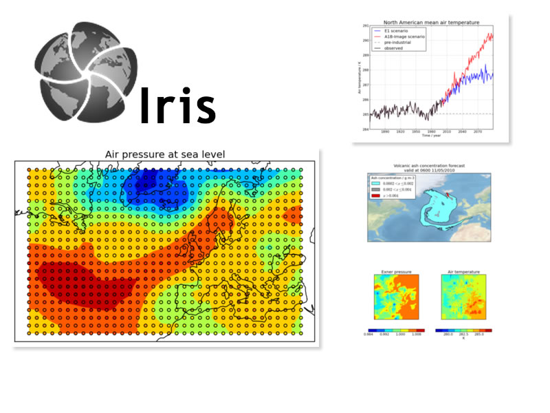
Iris |
JTS |
GDAL/OGR - Geospatial Data Translation Tools
Java Topology Suite

GEOS - C/C++ Spatial Library
![]()
GeoTools
MetaCRS - Coordinate Reference System Transformations
![]()
libLAS - LiDAR Data Access
Iris - Meteorology and
Climatology
Other applications
Installers only
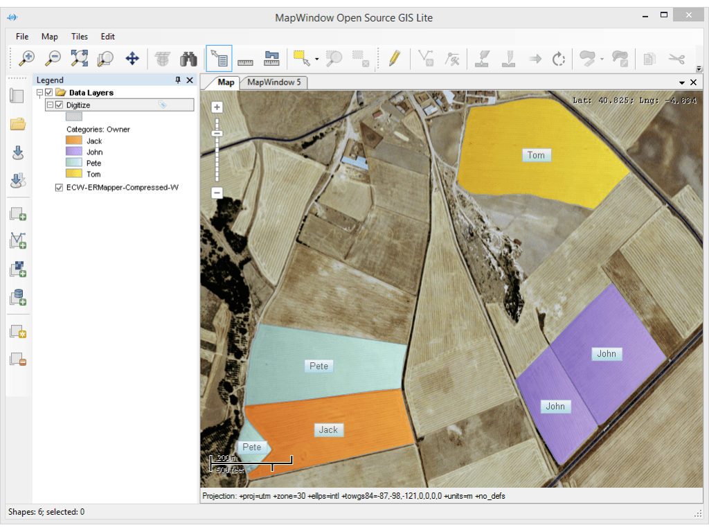
| MapWindow |
MapGuide Open Source |
MapGuide - Web Services
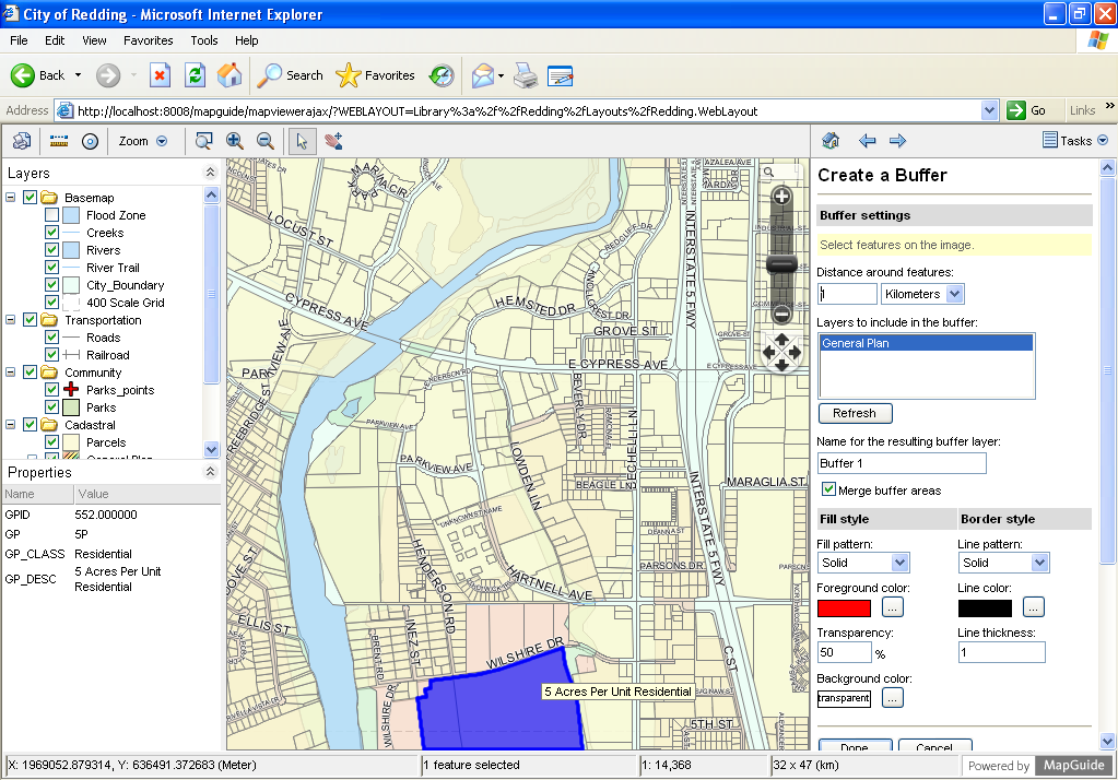
MapGuide Open Source is a web-based platform that enables users to develop and deploy web mapping applications and geospatial web services.
MapWindow - Microsoft
Windows based Desktop GIS
Credits
Developers and Translators
Core team: Angelos Tzotsos, Cameron Shorter, Hamish Bowman, Alex Mandel and Brian Hamlin.
Sponsors
| OSGeo |
LISAsoft |
UCD ICE |
| NTUA |
DebianGIS |
OSDM |
| okeanos |