
Cartaro
Geospatial CMS
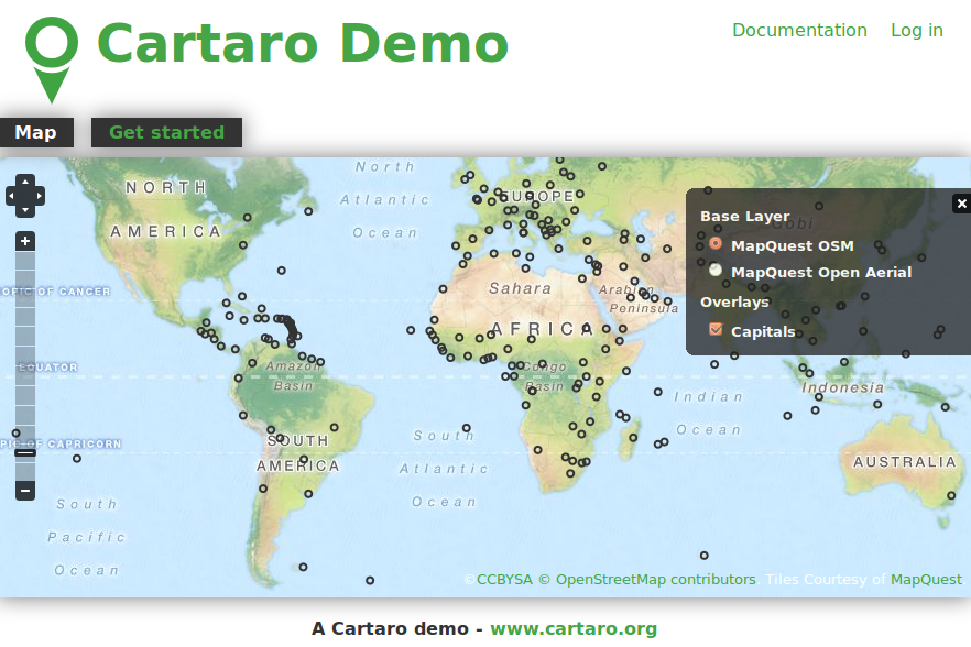
Cartaro provides geospatial functionality and web services within the Drupal Content Management System (CMS). With just a few clicks within Cartaro, you can set-up and run OGC standards based web services, as well as build maps into web pages. Cartaro builds upon robust Open Source components: the PostGIS database, GeoServer and GeoWebCache web services, OpenLayers maps in the browser, all managed from within the powerful Drupal CMS.
Cartaro is designed for CMS websites needing to handle geospatial data, and for organisations wanting a light-weight Spatial Data Infrastructure (SDI) with minimal configuration and programming.
Core Features
Most SDI functionality comes right out of the box through the close integration of Drupal with PostGIS and GeoServer. The main features of Cartaro are:
- Spatial data storage with true geometry data types
- Creation of data types from within the Drupal GUI
- Integrated online editing of geospatial data
- Data publishing with integrated maps
- Configuration of map layouts and behaviors
- Symbol styling
- Data publishing through OGC standards-compliant web services (OWS) like WMS and WFS
- High performance map output through GeoWebCache
- Transparent privilege handling and security for all spatial data
- Content publication workflow and revision moderation
- Basic metadata collection through access to GeoServer-GUI
- Full extensibility through thousands of Drupal modules or individual programming
Implemented Standards
Details
Website: http://cartaro.org/
Licence: GNU General Public License (GPL) version 2
Software Version: 1.9
Supported Platforms: Windows, Linux, Mac
API Interfaces: JavaScript, PHP
Support: http://www.geops.de