

pgRouting
GIS Tools
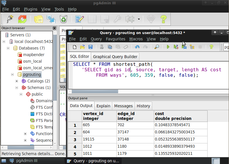
pgRouting extends the PostGIS/PostgreSQL geospatial database to provide geospatial routing and other network analysis functionality.
Advantages of the database routing approach are:
- Data and attributes can be modified by many clients, like QGIS and uDig through JDBC, ODBC, or directly using Pl/pgSQL. The clients can either be PCs or mobile devices.
- Data changes can be reflected instantaneously through the routing engine. There is no need for precalculation.
- The “cost” parameter can be dynamically calculated through SQL and its value can come from multiple fields or tables.
pgRouting is available under the GPLv2 license and is supported by a growing community of individuals, businesses and organizations.
Core Features
pgRouting provides functions for:
- All Pairs Shortest Path, Johnson’s Algorithm
- All Pairs Shortest Path, Floyd-Warshall Algorithm
- Shortest Path A*
- Bi-directional Dijkstra Shortest Path
- Bi-directional A* Shortest Path
- Shortest Path Dijkstra
- Driving Distance
- K-Shortest Path, Multiple Alternative Paths
- K-Dijkstra, One to Many Shortest Path
- Traveling Sales Person
- Turn Restriction Shortest Path (TRSP)
Learn more about using pgRouting in your application by reading the documentation.
Details
Website: http://www.pgrouting.org
Licence: GNU General Public License (GPL) version 2
Software Version: 2.4.1
Supported Platforms: Linux, Windows, Mac
API Interfaces: SQL
Commercial Support: http://www.pgrouting.org/support.html