

The JTS Topology Suite is an open source (LGPL) Java API of spatial predicates and functions for processing geometry. JTS offers a complete, consistent, robust implementation of fundamental algorithms for processing linear geometry on the 2-dimensional Cartesian plane.
JTS is written in 100% pure Java and is fast enough production use.
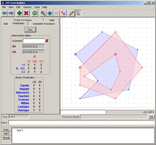
Computational stability in JTS project is backed by an extensive set of tests. A small application is provided to run tests tests and experiment with Geometry interactively. We hope to include this application on future editions of the OSGeo-Live project.
Aplikacje OSGeo-Live bezpośrednio używające JTS: 52°North SOS, 52°North WPS, Kosmo Desktop, 52°North WSS, AtlasStyler, Geomajas, SAGA, GeoNetwork, Geopublisher, GeoServer, User-friendly Desktop Internet GIS (uDig), GeoTools, OpenJUMP GIS, ZOO-Project, gvSIG Desktop
Aplikacje OSGeo-Live posiadające własne implementacje Geoemtrii, bazujące na operacjach JTS: deegree (GML3 geometry), GeoTools (ISO 19107 Geometry)
Projekt GEOS jest portem JTS do środowiska C++, który pozwala na użycie tych wysokiej jakości operacji w wielu innych aplikacjach. Dodatkowe porty są dostępne dla C# i JavaScript.
Obsługa wielu standardów Open Geospatial Consortium (OGC):
Strona internetowa: http://tsusiatsoftware.net/jts/main.html
Licencja: LGPL
Systemy operacyjne: Cross Platform Java
Interfejsy API: Java
Wsparcie: JTS Mailing List